USA 250 Shirt →
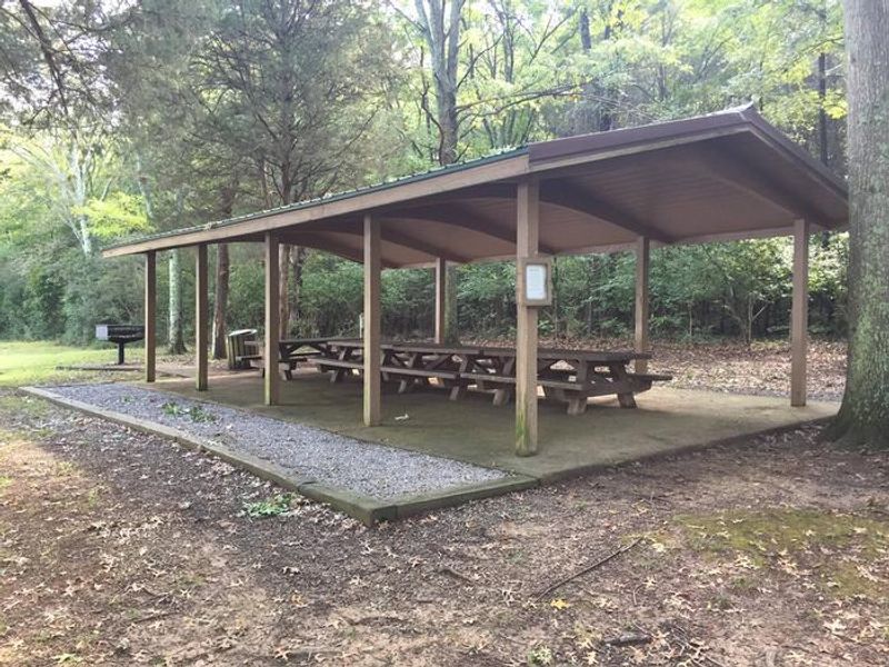
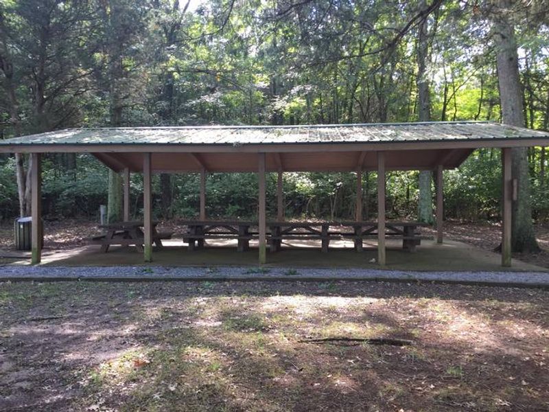
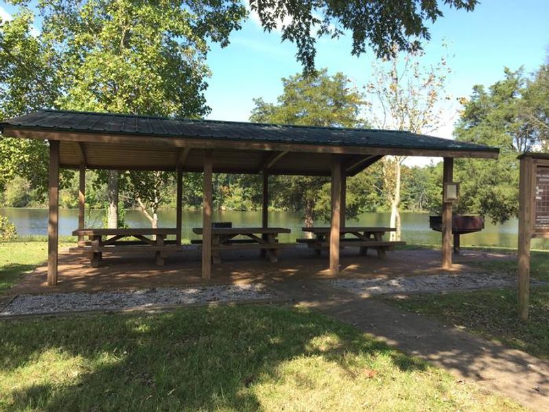
LONE BRANCH RECREATION AREA- SHELTER 2

Lone Branch

Closed

Lone Branch is a day-use only facility with no overnight camping. Group shelters are available for reservation through Recreation.gov. Check-in is 6:00 AM, check-out is 7:00 PM.

Severe Thunderstorm Warning issued July 21 at 7:38PM CDT until July 21 at 8:30PM CDT by NWS Nashville TN

7:38 PM — 8:30 PM

SVROHX The National Weather Service in Nashville has issued a * Severe Thunderstorm Warning for... Sumner County in Middle Tennessee... North central Wilson County in Middle Tennessee... Western Macon County in Middle Tennessee... Trousdale County in Middle Tennessee... Northeastern Robertson County in Middle Tennessee... * Until 830 PM CDT. * At 737 PM CDT, severe thunderstorms were located along a line extending from near Portland to 7 miles northeast of Gallatin to near Westmoreland, moving southeast at 25 mph. HAZARD...60 mph wind gusts. SOURCE...Radar indicated. IMPACT...Expect damage to roofs, siding, and trees. * Locations impacted include... Gallatin, Lafayette, Hartsville, Westmoreland, Portland, Orlinda, Mitchellville, Cottontown, Bethpage, Oak Grove, Bledsoe Creek State Park, and Dickerson Chapel Recreation Area. This includes Interstate 65 between mile markers 116 and 120.

Severe Thunderstorm Watch issued July 21 at 5:09PM CDT until July 22 at 12:00AM CDT by NWS Nashville TN

5:09 PM — July 22nd, 12:00 AM

THE NATIONAL WEATHER SERVICE HAS ISSUED SEVERE THUNDERSTORM WATCH 510 IN EFFECT UNTIL MIDNIGHT CDT TONIGHT FOR THE FOLLOWING AREAS IN TENNESSEE THIS WATCH INCLUDES 27 COUNTIES IN MIDDLE TENNESSEE CANNON CHEATHAM CLAY CUMBERLAND DAVIDSON DE KALB DICKSON FENTRESS HICKMAN HOUSTON HUMPHREYS JACKSON MACON MONTGOMERY OVERTON PERRY PICKETT PUTNAM ROBERTSON RUTHERFORD SMITH STEWART SUMNER TROUSDALE WHITE WILLIAMSON WILSON THIS INCLUDES THE CITIES OF ALLARDT, ASHLAND CITY, BRENTWOOD, BYRDSTOWN, CARTHAGE, CELINA, CENTERVILLE, CLARKSVILLE, COOKEVILLE, CROSSVILLE, DICKSON, DOVER, ERIN, FRANKLIN, GAINESBORO, GALLATIN, GOODLETTSVILLE, GORDONSVILLE, HARTSVILLE, HENDERSONVILLE, JAMESTOWN, KINGSTON SPRINGS, LA VERGNE, LAFAYETTE, LEBANON, LINDEN, LIVINGSTON, LOBELVILLE, MCEWEN, MOUNT JULIET, MURFREESBORO, NASHVILLE, NEW JOHNSONVILLE, PEGRAM, SMITHVILLE, SMYRNA, SOUTH CARTHAGE, SPARTA, SPRINGFIELD, TENNESSEE RIDGE, WAVERLY, AND WOODBURY.

Flood Watch issued July 21 at 12:59PM CDT until July 22 at 7:00AM CDT by NWS Nashville TN

12:59 PM — July 22nd, 7:00 AM

* WHAT...Flooding caused by excessive rainfall continues to be possible. * WHERE...A portion of Middle Tennessee, including the following counties, Bedford, Cannon, Cheatham, Clay, Coffee, Cumberland, Davidson, De Kalb, Dickson, Fentress, Giles, Hickman, Humphreys, Jackson, Lawrence, Lewis, Macon, Marshall, Maury, Overton, Perry, Pickett, Putnam, Rutherford, Smith, Sumner, Trousdale, Van Buren, Warren, Wayne, White, Williamson and Wilson. * WHEN...From 6 PM CDT this evening through Wednesday morning. * IMPACTS...Excessive runoff may result in flooding of rivers, creeks, streams, and other low-lying and flood-prone locations. * ADDITIONAL DETAILS... - Thunderstorms with locally torrential downpours will develop across Middle Tennessee this evening producing rainfall totals greater than 2 inches which could cause flash flooding. - http://www.weather.gov/safety/flood

About

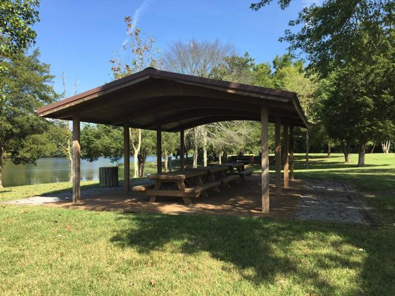
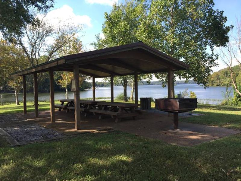
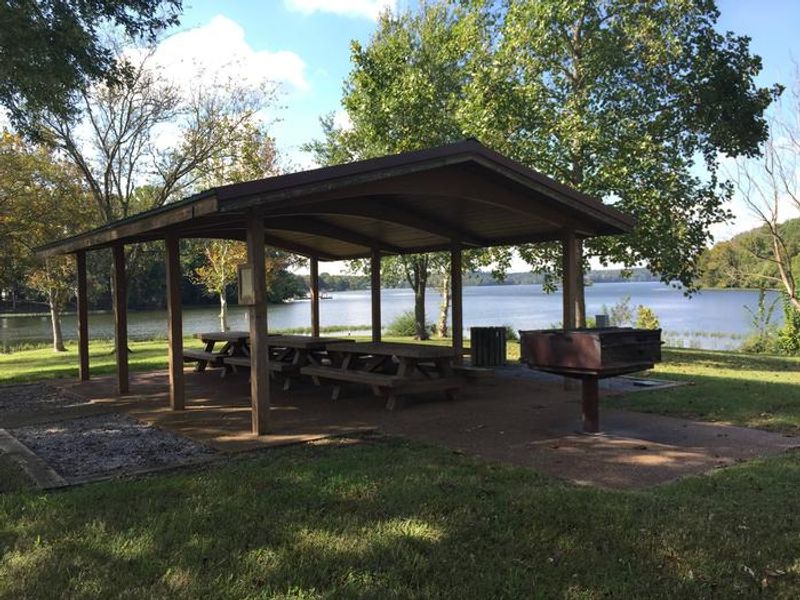
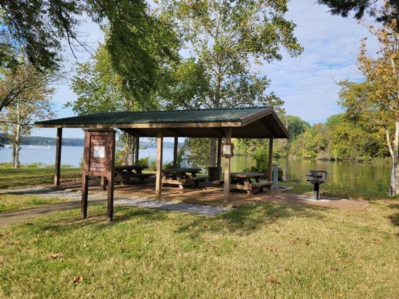
Lone Branch is a day-use recreation area located on Old Hickory Lake, a 22,500-acre reservoir on the Cumberland River just east of Nashville, Tennessee. Operated by the U.S. Army Corps of Engineers, this facility caters to groups looking for a lakeside picnic destination with easy boat access. The recreation area features two reservable group shelters with electric hookups and grills, each accommodating up to 50 guests. Shaded areas with plenty of trees provide relief from summer heat, while open grassy areas offer space for outdoor activities. A public boat ramp serves anglers targeting the lake's black bass, crappie, and catfish populations. Note that Lone Branch is day-use only and does not offer overnight camping. Shelter reservations do not guarantee parking, as the lot is shared with general public users of the boat launch and picnic sites.

Directions

From Nashville, take I-40 East to exit 229-B/Golden Bear Gateway. Continue straight on Golden Bear Gateway for approximately 9 miles. Entrance to the recreation area will be on the left just past Cedar Creek Club. Golden Bear Gateway turns into Benders Ferry Road at the US-70/Lebanon Road intersection.

Amenities

Water
Fires Allowed
Toilets
Dump Station No
Wifi
Pets Allowed
Showers No
Electric Hookups Yes
Water Hookups No
Sewer Hookups No
Camp Store No
Price $50

Vehicle

Max RV Length
Max Trailer Length
Big Rig Friendly
Pull Through Sites No

Contact

Phone +1 (615) 822-4846

Cell Service

AT&T Yes
Verizon Yes
T-Mobile Yes

Availability

Photos

LONE BRANCH RECREATION AREA- SHELTER 2
LONE BRANCH RECREATION AREA- SHELTER 1
LONE BRANCH RECREATION AREA
A photo of facility LONE BRANCH

Community Posts

No posts yet. Be the first to share your experience!