Lid Creek Campground
The campground is currently closed for the season and opens May 21, 2026. Operating season runs mid-May through September. No potable water is available; campers must bring their own.
Northern Region Camping & Target Restrictions, Pallet Prohibition
This order defines the maximum length of occupation at a single location or cumulatively at any number of locations within a calendar year, within the states of Montana, North Dakota, South Dakota, and Idaho
Weed Free Forage & Mulch Products Order for the Northern Region
It is illegal to possess, store or transport straw, hay, grain, seed or other forage or mulch products on Forest Service lands without documentation that the product is certified as “weed free” by a state certification process that meets or exceeds the North American Weed Free Forage standards.
R1-2023-02 - NCDE Food and Wildlife Attractant Storage Order
Northern Continental Divide Ecosystem Food/Wildlife Attractant Storage Order for the Flathead, Lolo, Kootenai, Helena-Lewis and Clark, and Beaverhead-Deerlodge National Forests within the Northern Continental Divide Ecosystem.
About
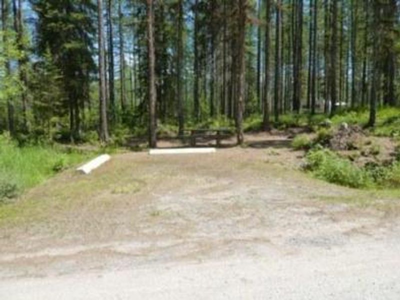
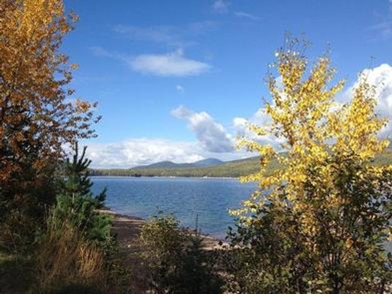
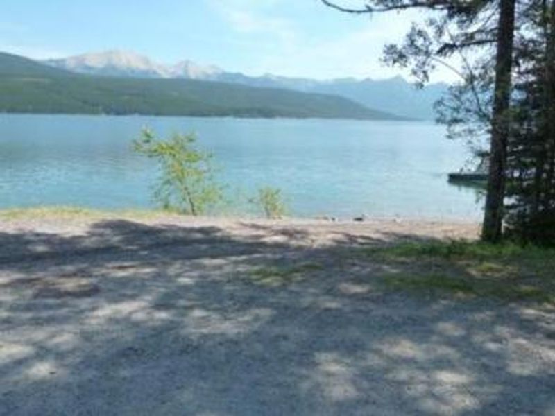
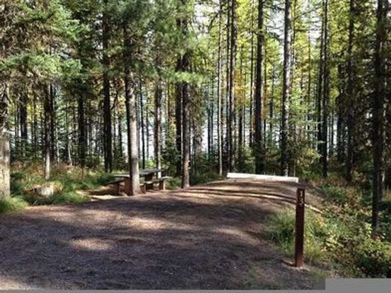
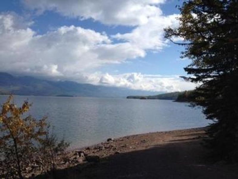
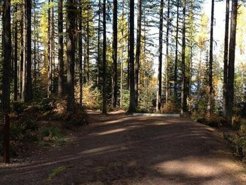
Lid Creek Campground lies on the shores of the 27,750-acre Hungry Horse Reservoir in northwestern Montana's Flathead National Forest. Situated at 3,600 feet elevation in a mixed conifer forest, the campground offers 22 campsites with 13 available for advance reservation through Recreation.gov and 9 held for walk-up visitors. Each site is equipped with a picnic table and fire ring with grill. Vault toilets are provided, but campers must bring their own drinking water as none is available on-site. Water can be obtained 5 miles north at Lost Johnny Point Campground. The reservoir provides excellent opportunities for boating, swimming, and fishing for cutthroat trout. Hiking and biking trails begin near the campground and wind around the reservoir. The area is known for its abundant huckleberry bushes and is home to grizzly bears, lynx, and bull trout. The campground is located 15 miles south of Hungry Horse, Montana, via West Side Reservoir Road 895. The access road is narrow with many switchbacks and is not suitable for larger RVs. Glacier National Park's West Glacier entrance is just 23 miles to the northeast. Maximum stay is 16 consecutive nights.
Directions
From Hungry Horse, Montana, turn off Highway 2 just past milepost 144. Take the paved West Side Reservoir Road across Hungry Horse Dam and continue for 11 miles to the campground, located 15 miles south of Hungry Horse. The road is narrow with many switchbacks and is not suitable for larger RVs.
Amenities
| Water | No |
| Fires Allowed | Yes |
| Toilets | Yes |
| Dump Station | — |
| Wifi | — |
| Pets Allowed | Yes |
| Showers | — |
| Electric Hookups | — |
| Water Hookups | — |
| Sewer Hookups | — |
| Camp Store | — |
| Price | $16 |
Vehicle
| Max RV Length | 49ft |
| Max Trailer Length | 49ft |
| Big Rig Friendly | No |
| Pull Through Sites | No |
Contact
| Phone | +1 (406) 752-7924 |
Cell Service
| AT&T | Yes |
| Verizon | Yes |
| T-Mobile | None |
Availability
Photos
Community Posts
No posts yet. Be the first to share your experience!