Doris Creek Campground
The campground opens mid-May through September. As of May 15, 2026, the campground is still closed for the season and reopens around May 21. Reservations available through Recreation.gov for 5 sites; 4 sites remain first-come, first-served. No potable water on site. Pack out all trash. Food storage order in effect.
Northern Region Camping & Target Restrictions, Pallet Prohibition
This order defines the maximum length of occupation at a single location or cumulatively at any number of locations within a calendar year, within the states of Montana, North Dakota, South Dakota, and Idaho
Weed Free Forage & Mulch Products Order for the Northern Region
It is illegal to possess, store or transport straw, hay, grain, seed or other forage or mulch products on Forest Service lands without documentation that the product is certified as “weed free” by a state certification process that meets or exceeds the North American Weed Free Forage standards.
R1-2023-02 - NCDE Food and Wildlife Attractant Storage Order
Northern Continental Divide Ecosystem Food/Wildlife Attractant Storage Order for the Flathead, Lolo, Kootenai, Helena-Lewis and Clark, and Beaverhead-Deerlodge National Forests within the Northern Continental Divide Ecosystem.
About
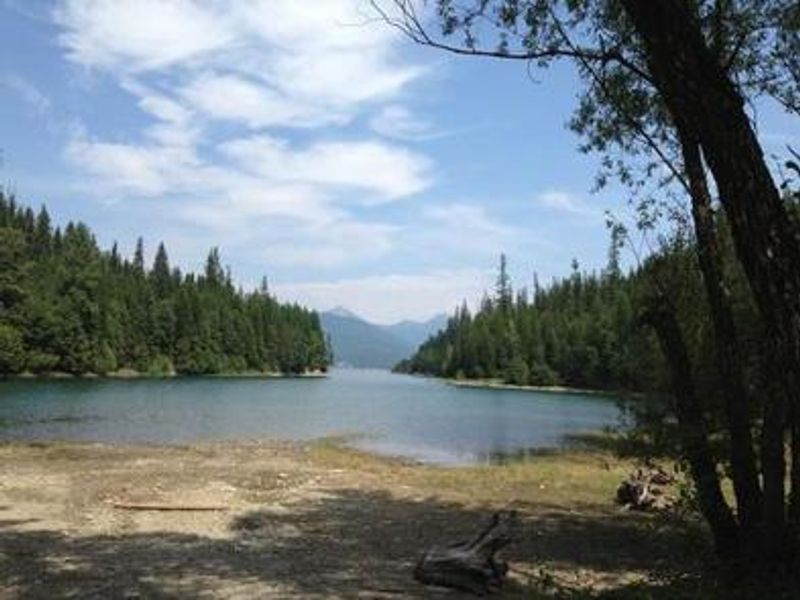
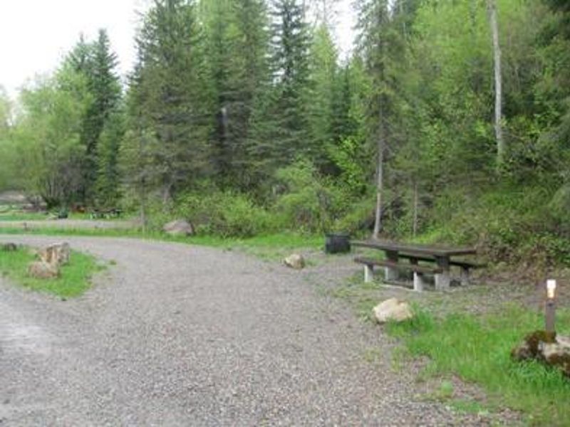
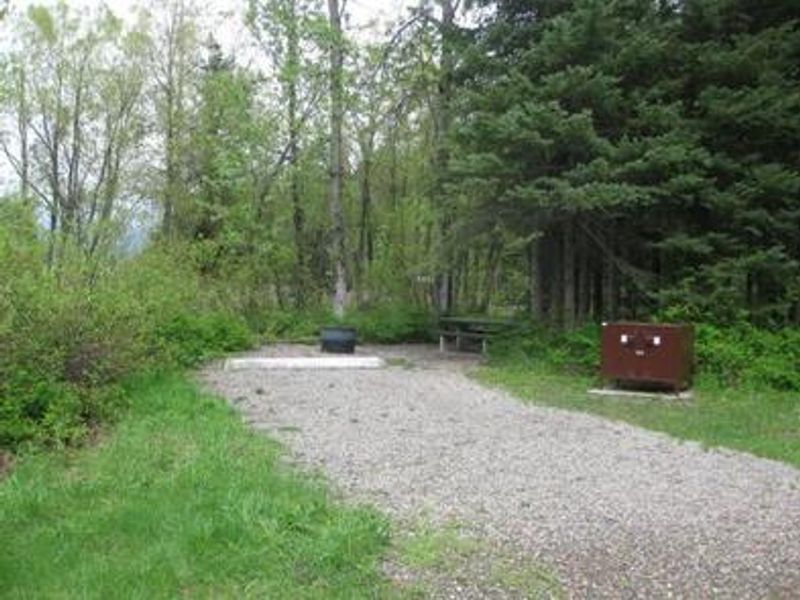
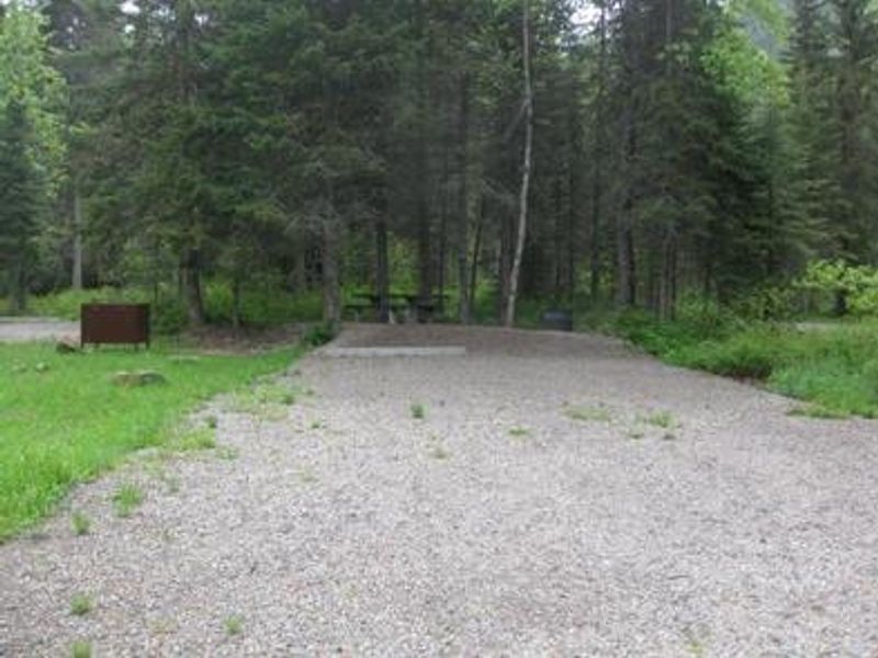
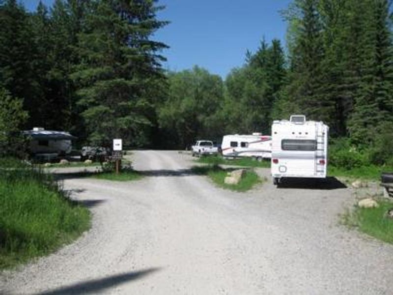
Doris Creek Campground is a scenic destination on the west side of Hungry Horse Reservoir in Flathead National Forest, Montana. Located just 14 miles southwest of Glacier National Park's West Glacier entrance, the campground provides access to spectacular Rocky Mountain scenery west of the Continental Divide. The 27,750-acre reservoir, created by the 10th highest dam in the United States, serves as a stunning backdrop. The campground has 9 sites available for tent and RV camping, with 5 sites reservable through Recreation.gov and 4 sites available first-come, first-served. Each site is equipped with a picnic table and fire ring with grill. An accessible vault toilet is provided, but there is no potable water on site. Campers must bring their own drinking water and pack out all trash. A food storage order is in effect due to grizzly bear activity in the area. Boating is popular on the reservoir, with a concrete boat ramp at Doris Point Boat Launch just above the campground. Anglers can expect to catch cutthroat trout. The forest is home to lynx, grizzly bear, and bull trout, making it a premiere destination for wildlife enthusiasts.
Directions
Turn off U.S. Highway 2 at West Side Hungry Horse Reservoir Road (Forest Road #895) and follow the road across the Hungry Horse Dam. The campground is 3 miles south of the dam. The road is paved to the campground.
Amenities
| Water | No |
| Fires Allowed | Yes |
| Toilets | Yes |
| Dump Station | No |
| Wifi | No |
| Pets Allowed | — |
| Showers | No |
| Electric Hookups | — |
| Water Hookups | — |
| Sewer Hookups | — |
| Camp Store | No |
| Price | $18 |
Vehicle
| Max RV Length | 1ft |
| Max Trailer Length | 1ft |
| Big Rig Friendly | — |
| Pull Through Sites | No |
Contact
| Phone | +1 (406) 752-7924 |
Cell Service
| AT&T | None |
| Verizon | None |
| T-Mobile | None |
Availability
Photos
Community Posts
No posts yet. Be the first to share your experience!