Lake Rabun Beach Recreation Area
Open for the 2026 season. The campground operates April through October. Loop 1 sites (no hookups) and some Loop 2 sites are available first-come, first-served. Reservations accepted via Recreation.gov for other sites. Maximum stay is 14 days within any 30-day period.
About
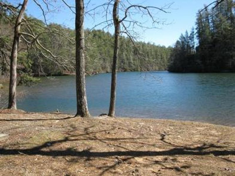
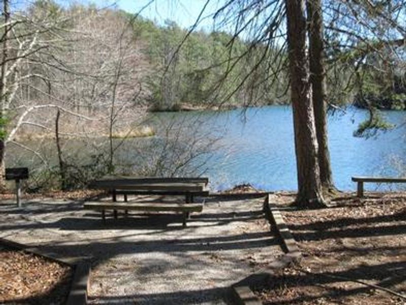
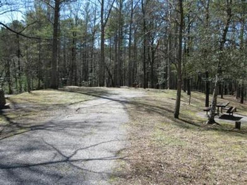
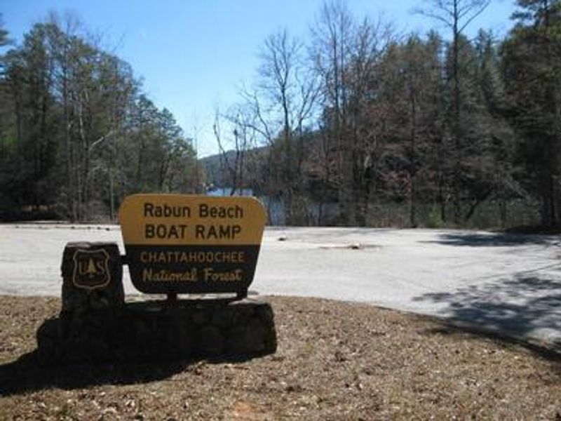
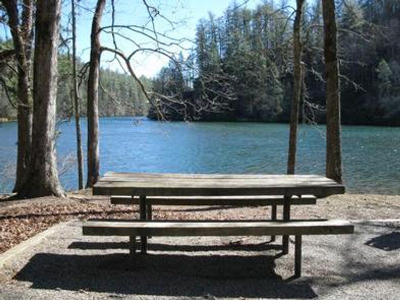
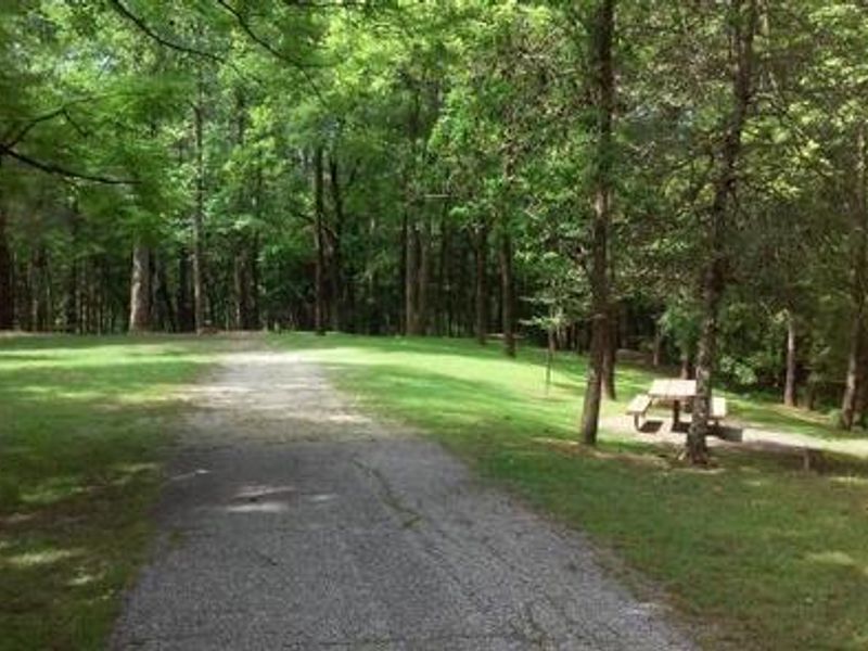
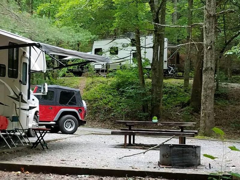
Nestled in the hills of the North Georgia Mountains, Lake Rabun Beach Recreation Area offers developed camping on the shores of Lake Rabun within the Chattahoochee-Oconee National Forest. The campground features 80 sites across two loops: Loop 1 provides 45 primitive sites with fire grills, picnic tables, and tent pads, while Loop 2 offers 37 sites with water spigots and 30-amp electric hookups. A group camping area accommodating up to five individual sites is also available. The recreation area provides excellent lake access with a designated swimming beach, fishing pier, and boat ramp. Lake Rabun supports bass, bream, perch, trout, and catfish. At the rear of the campground, the Angel Falls/Panther Falls hiking trail offers a 1.7-mile route to two scenic waterfalls. Nearby attractions include Anna Ruby Falls, Brasstown Bald (Georgia's highest point), Tallulah Gorge State Park, and whitewater rafting on the Chattooga River. Facilities include two bathhouses with hot water showers, ADA-accessible restrooms, and a dump station. On-site camp hosts provide assistance during the operating season. The campground operates from April through October, with a mix of reservable and first-come, first-served sites.
Directions
From Clayton: Take U.S. 441/23 south for 5.4 miles, turn right on Wiley Connector for 0.1 mile, turn left on Georgia 15 (Historic 441) for 1.4 miles, then turn right on Lake Rabun Road (County Road 10) for 5 miles. For trailers: Take Hwy 76 west for 7 miles, turn left on Charlie Mountain Road for 3.5 miles, turn right on Bridge Creek Road for 2 miles, then turn left on Burton Dam Road for 5.4 miles. The campground will be on your left.
Nearby Campgrounds
Amenities
| Water | Yes |
| Fires Allowed | Yes |
| Toilets | Yes |
| Dump Station | Yes |
| Wifi | — |
| Pets Allowed | Yes |
| Showers | Yes |
| Electric Hookups | Yes |
| Water Hookups | Yes |
| Sewer Hookups | No |
| Camp Store | — |
| Price | $30 - $85 |
Vehicle
| Max RV Length | — |
| Max Trailer Length | — |
| Big Rig Friendly | — |
| Pull Through Sites | No |
Contact
| LakeRabun@cfaia.org | |
| Phone | +1 (706) 782-6798 |
Cell Service
| AT&T | None |
| Verizon | Yes |
| T-Mobile | None |
Availability
Photos

Community Posts
No posts yet. Be the first to share your experience!