Kuykendall Group Camp
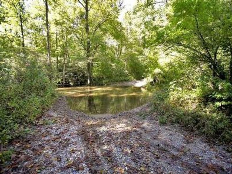
Open year-round. Reservations required through Recreation.gov, managed by Naventure. Gate access code provided at booking. Creek crossing required to reach campground; high-clearance or 4WD vehicle strongly recommended as stream levels rise during heavy rains.
Flood Watch issued October 11 at 9:50AM EDT until October 11 at 2:00PM EDT by NWS Greenville-Spartanburg SC
* WHAT...Flash flooding caused by excessive rainfall continues to be possible. * WHERE...Portions of western North Carolina, including the following areas, Avery, Buncombe, Burke Mountains, Caldwell Mountains, Eastern McDowell, Eastern Polk, Greater Burke, Greater Caldwell, Greater Rutherford, Haywood, Henderson, McDowell Mountains, Mitchell, Polk Mountains, Rutherford Mountains, Transylvania and Yancey and Upstate South Carolina, including the following areas, Greenville Mountains, Northern Spartanburg and Southern Spartanburg. * WHEN...Until 2 PM EDT this afternoon. * IMPACTS...Excessive runoff may result in flooding of rivers, creeks, streams, and other low-lying and flood-prone locations. Creeks and streams may rise out of their banks. Low-water crossings may be flooded. * ADDITIONAL DETAILS... - Rainfall tapers off behind the front, but runoff from previous rainfall will keep high water levels in portions of the area. Ongoing flood advisories and warnings will keep the watch in place, even though rain has ended. - http://www.weather.gov/safety/flood
Flood Warning issued October 11 at 7:01AM EDT until October 12 at 8:00PM EDT by NWS Greenville-Spartanburg SC
...The Flood Warning is extended for the following rivers in North Carolina... French Broad River At at Grove Bridge Rd in Blantyre affecting Henderson and Transylvania Counties. .Excessive runoff from widespread 4 to 6 inches of storm total rainfall will maintain flooding along the French Broad River. * WHAT...Minor flooding is occurring and minor flooding is forecast. * WHERE...French Broad River at Grove Bridge Rd in Blantyre. * WHEN...Until Monday evening. * IMPACTS...At 16.0 feet, Minor Flood Stage. Farmland flooding continues on both sides of the French Broad River, especially between the river and Brevard and Pleasant Grove Roads. Floodwaters begin to impact boat access areas at Grove Bridge Rd. and Crab Creek Rd. * ADDITIONAL DETAILS... - At 6:30 AM EDT Sunday the stage was 16.0 feet and rising. - Bankfull stage is 15.0 feet. - Forecast...The river is expected to rise to a crest of 16.5 to 17.0 feet by this evening. It will then fall below flood stage tomorrow. - Flood stage is 16.0 feet. - http://www.weather.gov/safety/flood
About
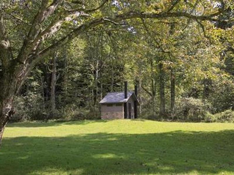
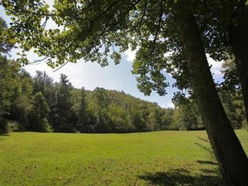
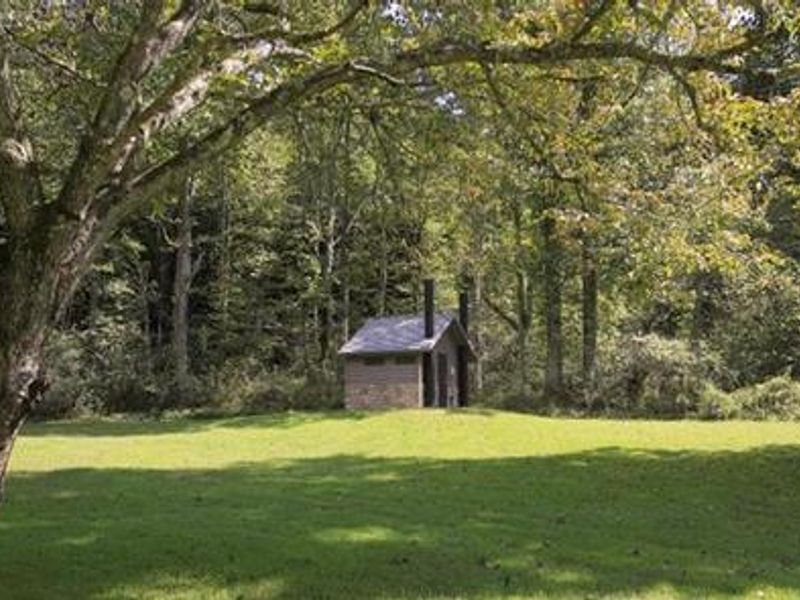
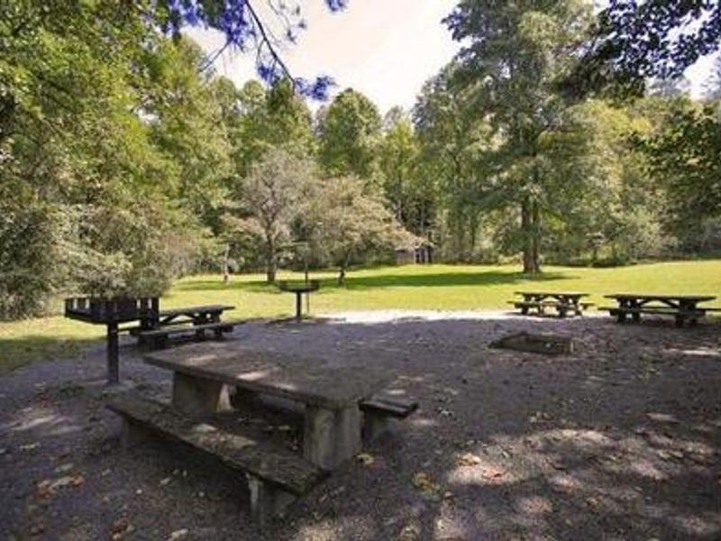
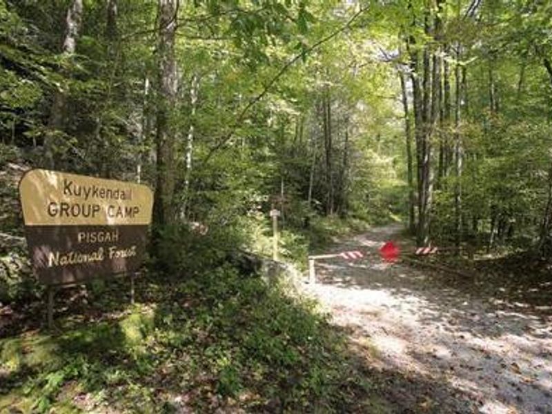
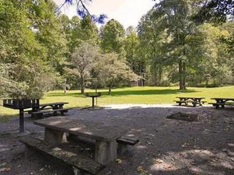
Kuykendall Group Camp offers a secluded group camping experience in the Appalachian Mountains of western North Carolina at 2,600 feet elevation. The single group site sits along Kuykendall Creek in the Pisgah National Forest, about 4 miles from Brevard and an hour from Asheville. The shaded camping area accommodates tents and RVs (up to 30 feet) for groups of up to 60 people with 15 vehicles. The campground features vault toilets, potable drinking water, picnic tables, lantern posts, campfire rings with grills, and bear boxes. Visitors can enjoy nearby hiking trails, crystal-clear waterfalls, trout fishing, swimming, and mountain biking. The surrounding forest boasts mile-high peaks and slopes thickly forested with hardwoods. Access requires crossing Kuykendall Creek, which rises during heavy rains. A high-clearance or 4WD vehicle is strongly recommended. The campground is gated, with an access code provided upon reservation confirmation. Campers must pack out their own trash.
Directions
From Asheville, take State Highway 280 south to Brevard. At the junction of US Highway 276/64/280, follow Highway 64 west through Brevard to Cathy's Creek Road/Forest Road 471. Turn right and go 1.25 miles to the campground entrance.
Nearby Campgrounds
Amenities
| Water | Yes |
| Fires Allowed | Yes |
| Toilets | Yes |
| Dump Station | No |
| Wifi | No |
| Pets Allowed | Yes |
| Showers | No |
| Electric Hookups | — |
| Water Hookups | — |
| Sewer Hookups | — |
| Camp Store | No |
| Price | $130 |
Vehicle
| Max RV Length | 30ft |
| Max Trailer Length | 30ft |
| Big Rig Friendly | No |
| Pull Through Sites | No |
Contact
| Phone | +1 (828) 577-4910 |
Cell Service
| AT&T | Yes |
| Verizon | None |
| T-Mobile | None |
Availability
Photos
Community Posts
No posts yet. Be the first to share your experience!