Cove Creek Lower Group Camp
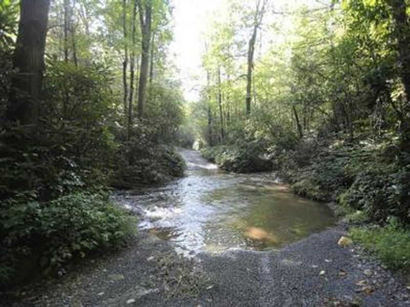
Open year-round. Reservations available through Recreation.gov up to 6 months in advance. Creek crossing required for vehicle access; high-clearance or 4WD vehicle recommended. Heavy rains may temporarily make crossing impassable.
Flood Watch issued October 10 at 10:47PM EDT until October 11 at 2:00PM EDT by NWS Greenville-Spartanburg SC
* WHAT...Flash flooding caused by excessive rainfall continues to be possible. * WHERE...In Northeast Georgia, the following counties: Elbert, Franklin, Habersham, Hart, Rabun and Stephens. In western North Carolina, the following counties: Avery, Buncombe, Burke, Caldwell, McDowell, Polk, Rutherford, Haywood, Henderson, Macon, Mitchell, Jackson, Transylvania and Yancey. In Upstate South Carolina, the following counties: Abbeville, Anderson, Central Greenville, Greater Oconee, Greater Pickens, Greenville, Greenwood, Laurens, Spartanburg, and Oconee. * WHEN...Through Sunday afternoon. * IMPACTS...Excessive runoff may result in flooding of rivers, creeks, streams, and other low-lying and flood-prone locations. Creeks and streams may rise out of their banks. Low-water crossings may be flooded. * ADDITIONAL DETAILS... - As the remnants of Isaias move northward into the lower Ohio Valley, periods of rain will continue. High rainfall rates will continue in short bursts through the overnight hours. By Sunday morning, total accumulations of generally 5 to 8 inches are expected along the southeast-facing Blue Ridge Escarpment, with 2 to 5 inches elsewhere in the watch area. - http://www.weather.gov/safety/flood
Flood Advisory issued October 10 at 8:18PM EDT until October 11 at 2:15AM EDT by NWS Greenville-Spartanburg SC
* WHAT...Flooding caused by excessive rainfall is expected. * WHERE...Transylvania County in western North Carolina... * WHEN...Until 215 AM EDT. * IMPACTS...Nuisance flooding of low-lying areas adjacent to streams and other poor-drainage areas, including farmland, parks, greenways, boat-access areas, golf courses, underpasses, and parking lots. Isolated, shallow flows over roadways is possible. A few flood-prone, low-water crossings may become impassible. A small culvert washout or two is possible. * ADDITIONAL DETAILS... - At 808 PM EDT, Light to moderate showers are moving from south to north across the county, with heavier showers approaching from the south. Rainfall of 2 to 4 inches have fallen over the past 12 hours. The rainfall has accumulated steadily, allowing soils to slowly saturate and runoff to slowly increase. Out of bank conditions will develop by area streams such as Little River, Davidson River, and Forks of the Upper French Broad River. Additional rounds of showers and thunderstorms are expected to develop over the next few hours and the threat will persist through the early morning hours on Sunday. These showers and storms will be very efficient at producing heavy rainfall. Soils are saturated and streams are swollen. Therefore, additional heavy rain may quickly create new areas of flooding and cause previous areas of flooding to redevelop. As a result, Flash Flood Warnings may be issued tonight. Caution is advised near any stream or other vulnerable area. Seek higher ground immediately if heavy rain develops. Please have a plan in place should flash flooding develop and do not hesitate to act. Please heed all evacuation orders from Emergency Management officials. - Additional rainfall amounts of 2 to 4 inches are expected over the area. This additional rain will result in minor flooding. - Some locations that will experience flooding include... Brevard, Rosman, Looking Glass, B.R. Parkway-Black Balsam To Mount Pisgah, Gorges State Park, Lake Toxaway, Dupont State Forest, Caesars Head State Park, Mount Pisgah and Lake Jocassee. - http://www.weather.gov/safety/flood
About
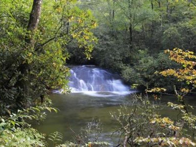
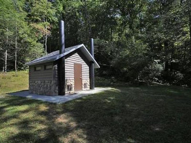
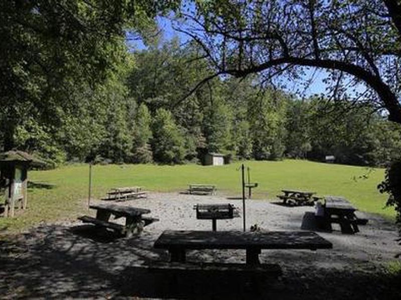
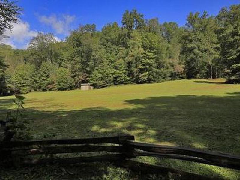
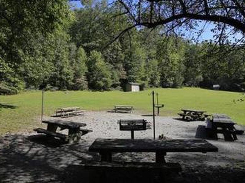
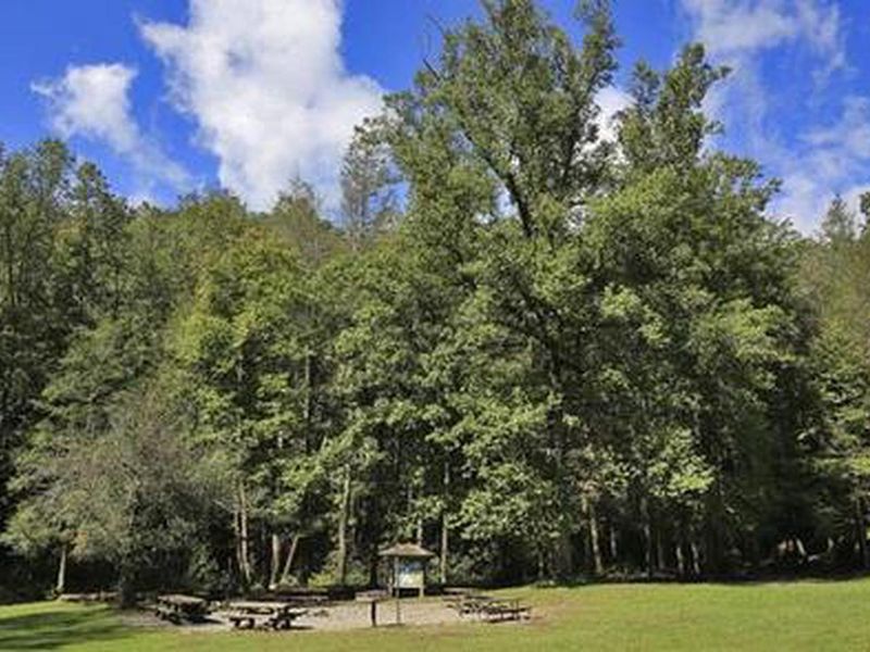
Cove Creek Lower Group Camp is one of two group campsites tucked into the Appalachian hardwood forests of Pisgah National Forest in western North Carolina. The facility accommodates groups of up to 60 people with space for tents and RVs up to 35 feet, though the 15-vehicle limit and creek-crossing access make it better suited for tent camping groups. The shaded site sits at the confluence of Cove Creek and the Davidson River, with nearby access to "Little Sliding Rock" swimming hole. The campground provides vault toilets, potable water, picnic tables, and oversized fire rings. Campers must pack out all trash and use only kiln-dried firewood. The gate remains locked and campers are responsible for securing it. Trails accessible from the campground lead to scenic waterfalls, and the area offers excellent trout fishing in the creek and river. Access to the campground requires crossing Cove Creek by vehicle. The rocky, uneven streambed is passable only by high-clearance vehicles, and heavy rains may temporarily make crossing impossible. Assistance is not guaranteed if vehicles become stuck.
Directions
From the Asheville airport, take Highway 280 west to the U.S. Highway 64/280/276 intersection at Pisgah National Forest. Turn north onto U.S. Highway 276. Go 4.5 miles to Forest Road 475A and turn left. Travel on 475A for 3 miles to the campground on the right.
Amenities
| Water | Yes |
| Fires Allowed | Yes |
| Toilets | Yes |
| Dump Station | No |
| Wifi | No |
| Pets Allowed | Yes |
| Showers | No |
| Electric Hookups | — |
| Water Hookups | — |
| Sewer Hookups | — |
| Camp Store | No |
| Price | $130 |
Vehicle
| Max RV Length | 35ft |
| Max Trailer Length | 35ft |
| Big Rig Friendly | No |
| Pull Through Sites | No |
Contact
| Phone | +1 (828) 577-4910 |
Cell Service
| AT&T | None |
| Verizon | None |
| T-Mobile | None |
Availability
Photos
Community Posts
No posts yet. Be the first to share your experience!