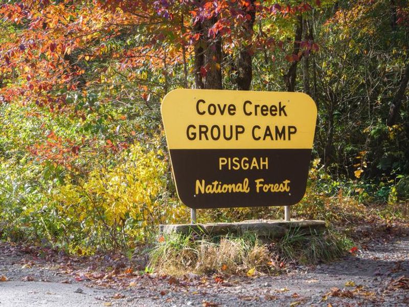
Cove Creek Upper Group Camp
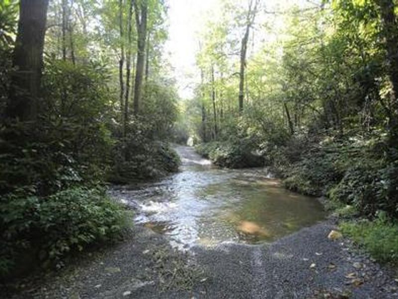
Open year-round. Reservations required through Recreation.gov up to 6 months in advance. Access requires fording Cove Creek twice; high-clearance or 4WD vehicle essential. Creek crossings may be impassable during heavy rains.
High Wind Warning issued October 10 at 2:38AM EDT until October 11 at 8:00AM EDT by NWS Greenville-Spartanburg SC
* WHAT...For the High Wind Warning in high elevations above 3500 feet, southeast winds 15 to 25 mph with gusts up to 60 mph expected. For the Wind Advisory in lower elevations below 3500 feet, southeast winds 10 to 20 mph with gusts of 45 to 50 mph expected. * WHERE...A portion of western North Carolina. * WHEN...Until 8 AM EDT Sunday. * IMPACTS...Damaging winds will blow down trees and power lines especially in higher elevations. Widespread power outages are expected in higher elevations. Travel will be difficult, especially for high profile vehicles. Gusty winds will blow around unsecured objects, and may cause a few tree limbs to fall and cause isolated power outages in lower elevations.
Flood Watch issued October 10 at 2:06AM EDT until October 11 at 2:00PM EDT by NWS Greenville-Spartanburg SC
* WHAT...Flash flooding caused by excessive rainfall continues to be possible. * WHERE...Portions of northeast Georgia, including the following areas, Elbert, Franklin, Habersham, Hart, Rabun and Stephens, western North Carolina, including the following areas, Avery, Buncombe, Burke Mountains, Caldwell Mountains, Eastern McDowell, Eastern Polk, Greater Burke, Greater Caldwell, Greater Rutherford, Haywood, Henderson, Macon, McDowell Mountains, Mitchell, Northern Jackson, Polk Mountains, Rutherford Mountains, Southern Jackson, Transylvania and Yancey, and Upstate South Carolina, including the following areas, Greater Oconee, Greenville Mountains, Oconee Mountains and Pickens Mountains. * WHEN...From 8 AM EDT this morning through Sunday afternoon. * IMPACTS...Excessive runoff may result in flooding of rivers, creeks, streams, and other low-lying and flood-prone locations. Creeks and streams may rise out of their banks. Low-water crossings may be flooded. * ADDITIONAL DETAILS... - As Isaias weakens and moves northward through the Mid-South early this morning, rain will become increasingly likely across the western Carolinas and northeast Georgia. Periods of rain may begin over the watch area before daybreak, though rainfall rates will initially be light. Rainfall rates will increase during the day, and heavy rain is most likely this afternoon through early Sunday morning, particularly along the south and east facing Blue Ridge Escarpment, that is, near the southern border of North Carolina west of I-26, and in the sharp terrain from near Saluda to Grandfather Mountain in North Carolina. A slow-moving band of heavy rain may move across northeast Georgia and the Upstate of South Carolina late this afternoon and this evening. - http://www.weather.gov/safety/flood
Wind Advisory issued October 10 at 2:38AM EDT until October 11 at 8:00AM EDT by NWS Greenville-Spartanburg SC
* WHAT...For the High Wind Warning in high elevations above 3500 feet, southeast winds 15 to 25 mph with gusts up to 60 mph expected. For the Wind Advisory in lower elevations below 3500 feet, southeast winds 10 to 20 mph with gusts of 45 to 50 mph expected. * WHERE...A portion of western North Carolina. * WHEN...Until 8 AM EDT Sunday. * IMPACTS...Damaging winds will blow down trees and power lines especially in higher elevations. Widespread power outages are expected in higher elevations. Travel will be difficult, especially for high profile vehicles. Gusty winds will blow around unsecured objects, and may cause a few tree limbs to fall and cause isolated power outages in lower elevations.
About
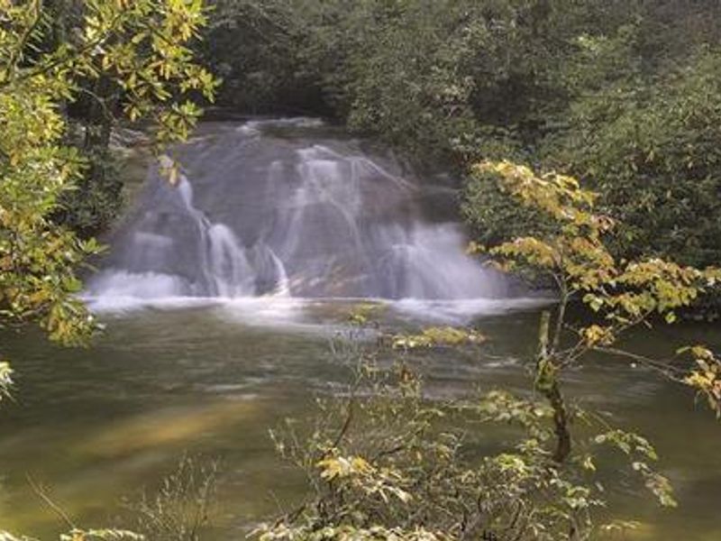
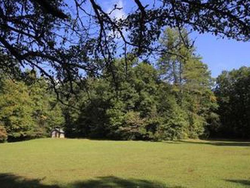
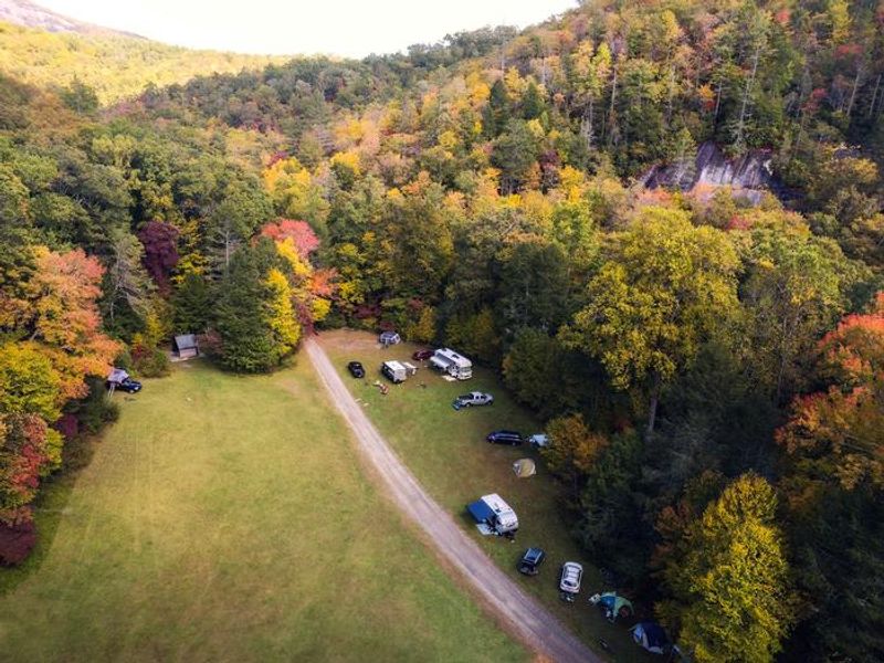
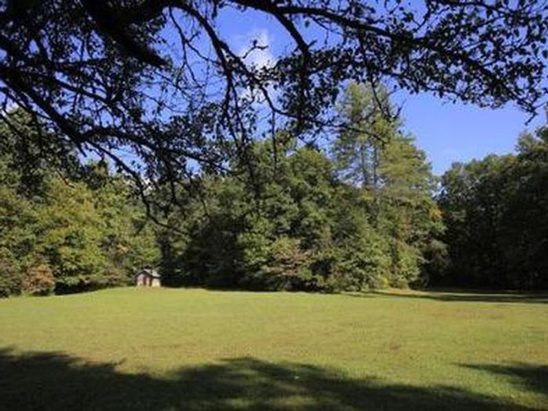
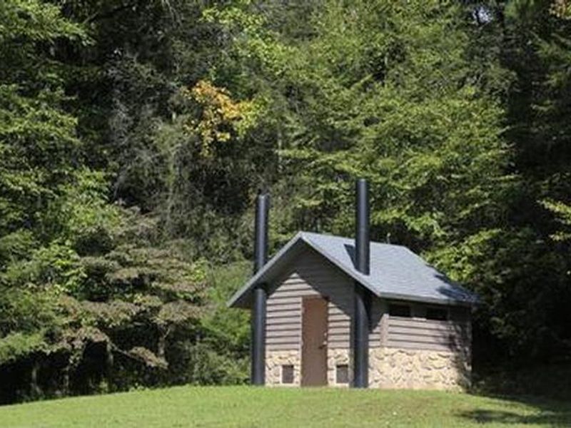
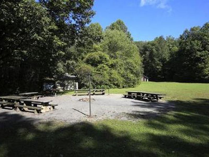
Cove Creek Upper Group Camp is one of two group camping areas along scenic Cove Creek in North Carolina's Pisgah National Forest. Situated adjacent to both Cove Creek and the Davidson River, this shaded site can accommodate large groups of up to 60 people with space for tents, trailers, and RVs up to 35 feet. The facility includes vault toilets, potable water, picnic tables, and an oversized fire ring for group gatherings. The surrounding Appalachian landscape offers exceptional recreation opportunities including hiking trails to waterfalls, mountain biking, and trout fishing in the creek and river. Trails can be accessed directly from the campground, and interpretive programs may be available upon request. Access is the primary consideration for this campground. The road requires two creek crossings that become impassable during heavy rains. A high-clearance or four-wheel-drive vehicle is essential, and all crossings are at the driver's own risk. Assistance is not readily available if vehicles become stuck. Campers must pack out all trash and are responsible for gate lock maintenance.
Directions
From the Asheville airport, take Highway 280 west to the U.S. Highway 64/280/276 intersection at Pisgah National Forest. Turn north onto U.S. Highway 276. Go 4.5 miles to Forest Road 475A and turn left. Travel on 475A for 3 miles to the campground on the right. Two creek crossings required.
Amenities
| Water | Yes |
| Fires Allowed | Yes |
| Toilets | Yes |
| Dump Station | No |
| Wifi | No |
| Pets Allowed | Yes |
| Showers | No |
| Electric Hookups | — |
| Water Hookups | — |
| Sewer Hookups | — |
| Camp Store | No |
| Price | $130 |
Vehicle
| Max RV Length | 35ft |
| Max Trailer Length | 35ft |
| Big Rig Friendly | No |
| Pull Through Sites | No |
Contact
| Phone | +1 (828) 552-8040 |
Cell Service
| AT&T | None |
| Verizon | None |
| T-Mobile | None |
Availability
Photos
Community Posts
No posts yet. Be the first to share your experience!