Jubilee Lake Campground
Closed for the season. The campground typically opens in July and operates through October 15. Water is shut off September 30 and gates close October 15. Reservations are available through Recreation.gov.
Air Quality Alert issued July 20 at 7:40PM PDT by NWS Pendleton OR
Oregon Department of Environmental Quality has issued an Air Quality Advisory until 4 PM PDT Wednesday. For the Smoke Air Quality Advisory, wildfires burning in the region combined with forecasted conditions will cause air quality to reach unhealthy levels. Pollutants in smoke can cause burning eyes, runny nose, aggravate heart and lung diseases, and aggravate other serious health problems. Limit outdoor activities and keep children indoors if it is smoky. Please follow medical advice if you have a heart or lung condition. For additional information...please visit the Web site at http://www.oregon.gov/DEQ
Air Quality Alert issued July 20 at 6:03PM PDT by NWS Pendleton OR
Oregon Department of Environmental Quality has issued an Air Quality Advisory until 4 PM PDT Wednesday. For the Smoke Air Quality Advisory, wildfires burning in the region combined with forecasted conditions will cause air quality to reach unhealthy levels. Pollutants in smoke can cause burning eyes, runny nose, aggravate heart and lung diseases, and aggravate other serious health problems. Limit outdoor activities and keep children indoors if it is smoky. Please follow medical advice if you have a heart or lung condition. For additional information...please visit the Web site at http://www.oregon.gov/DEQ
Air Quality Alert issued July 20 at 1:46PM PDT by NWS Pendleton OR
Oregon Department of Environmental Quality has issued an Air Quality Advisory until 4 PM PDT Wednesday. For the Smoke Air Quality Advisory, wildfires burning in the region combined with forecasted conditions will cause air quality to reach unhealthy levels. Pollutants in smoke can cause burning eyes, runny nose, aggravate heart and lung diseases, and aggravate other serious health problems. Limit outdoor activities and keep children indoors if it is smoky. Please follow medical advice if you have a heart or lung condition. For additional information...please visit the Web site at http://www.oregon.gov/DEQ
About
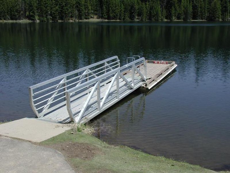
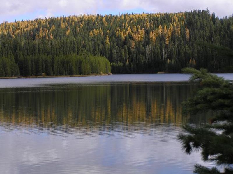
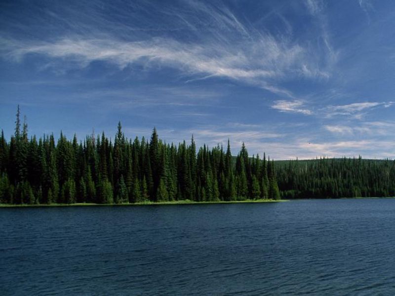
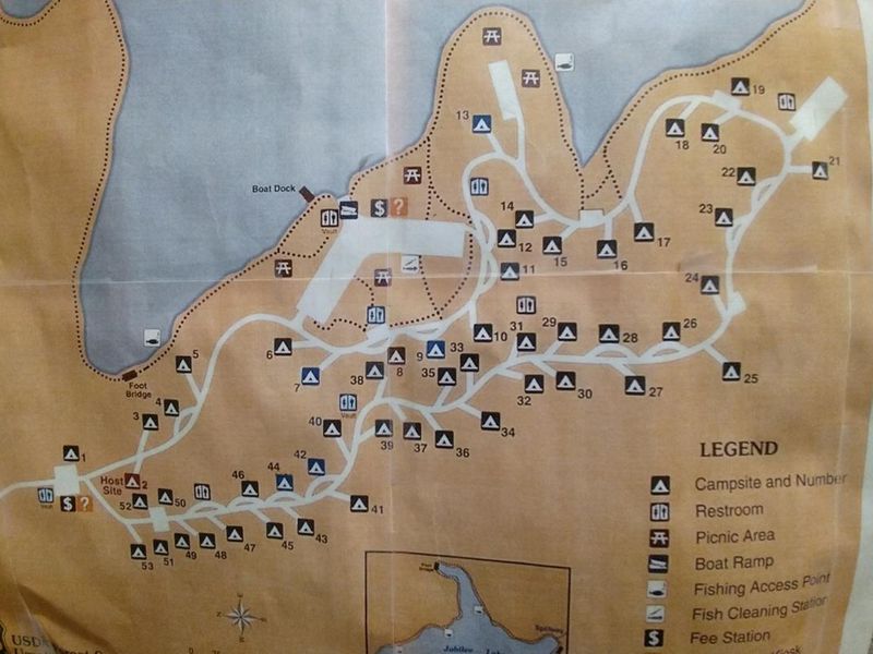
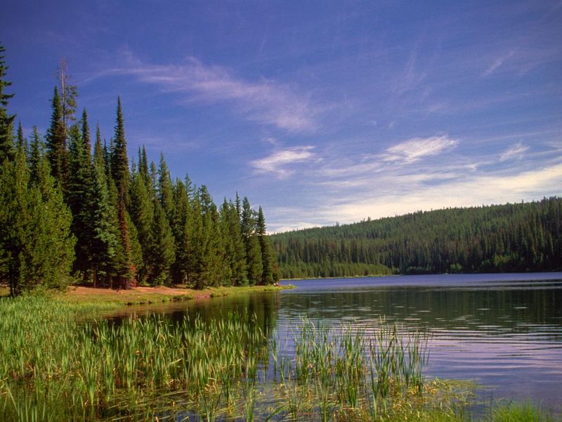
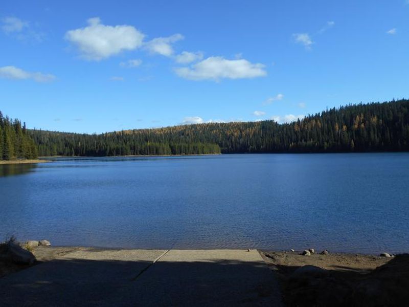
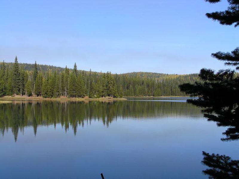
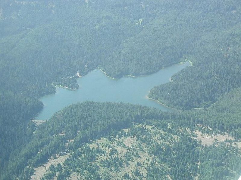
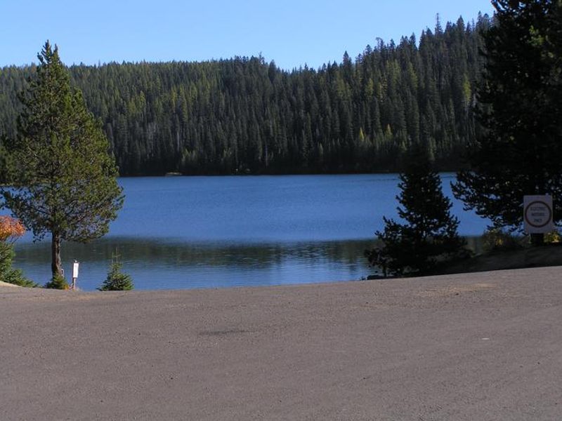
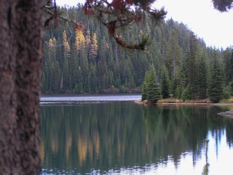
Jubilee Lake Campground sits at high elevation in the Blue Mountains of northeast Oregon, surrounded by spruce and fir forest. The campground offers 48 tent/RV sites and 5 tent-only sites arranged around Jubilee Lake, which provides excellent fishing for stocked trout, crawfishing, and non-motorized boating (electric trolling motors permitted). Facilities include flush toilets, vault toilets, potable water spigots throughout, picnic tables, and fire rings at each site. The 2.8-mile Jubilee Lake National Recreation Trail is fully wheelchair-accessible and circles the lake with several barrier-free fishing access points. Reservations are available through Recreation.gov, with some sites held for first-come, first-served availability. The campground operates seasonally from July through October 15. Water is turned off September 30, trash service ends October 4, and gates close October 15, though foot access to the lake remains available. The nearby unincorporated town of Tollgate, 11.5 miles southwest, has a store/restaurant with gas.
Directions
From Weston, Oregon: Travel 20 miles east on Highway 204. Turn left (north) onto Forest Service Road 64 and follow it 12 miles to the campground entrance on your right. From Elgin, Oregon: Travel 21 miles northwest on Highway 204. Turn right (north) onto Forest Service Road 64 and follow it 12 miles to the campground entrance.
Amenities
| Water | Yes |
| Fires Allowed | Yes |
| Toilets | Yes |
| Dump Station | — |
| Wifi | — |
| Pets Allowed | Yes |
| Showers | No |
| Electric Hookups | — |
| Water Hookups | — |
| Sewer Hookups | — |
| Camp Store | No |
| Price | $17 |
Vehicle
| Max RV Length | 40ft |
| Max Trailer Length | — |
| Big Rig Friendly | No |
| Pull Through Sites | No |
Contact
| Phone | +1 (541) 278-3716 |
Cell Service
| AT&T | None |
| Verizon | None |
| T-Mobile | None |
Useful Links
| View on Recreation.gov | |
| USFS Jubilee Lake Campground |
Availability
Photos
Community Posts
No posts yet. Be the first to share your experience!