Jeanette
Closed for the winter season. The campground typically operates during summer months. All sites are first-come, first-served with no advance reservations. Payment available via Scan and Pay on the Recreation.gov mobile app.
Weed Free Hay Order 04-2021-03
Prohibited by this order: Possessing, storing, or transporting non-pelletized hay, straw, or mulch in the Intermountain Region, unless it is certified as weed free by the state where the product originated.
Fireworks and Spark Arrestor Order 04-2021-01
Prohibited by this order: Possessing, discharging, or using any kind of firework or other pyrotechnic device. 36 CFR §261.52(t)Operating or using any internal or external combustion engine without a spark arresting device properly installed, maintained and in effective working order as described…
Explosives and Exploding Target Order 04-2021-02
This order prohibits the use of explosives and exploding targets on National Forest System lands within the Intermountain Region.
About
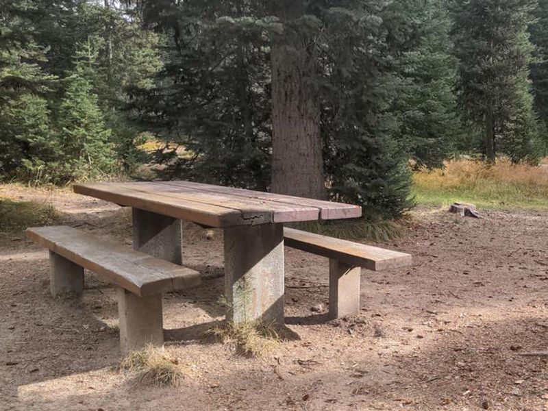
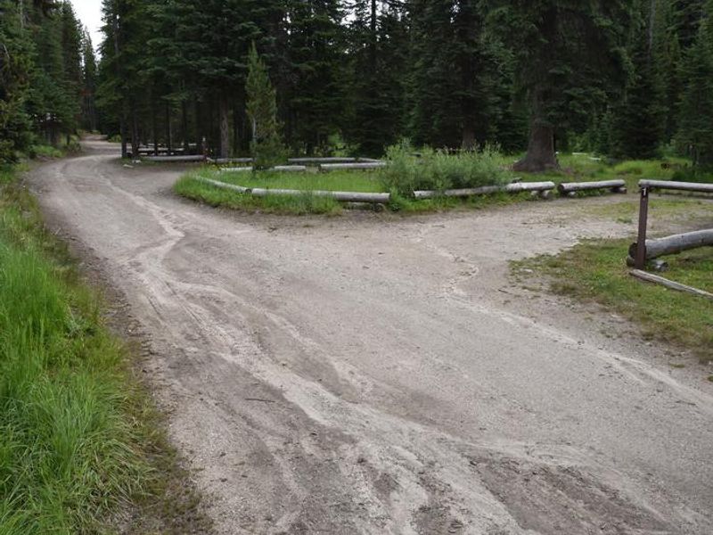
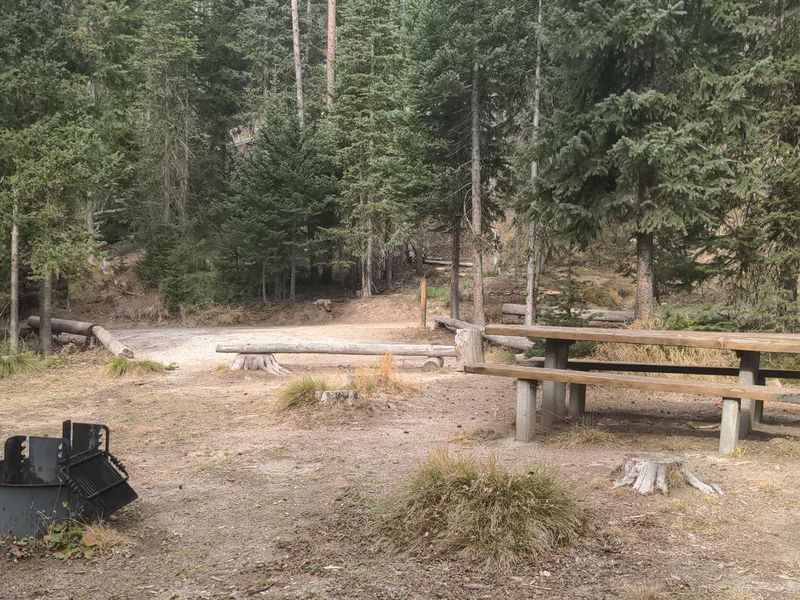
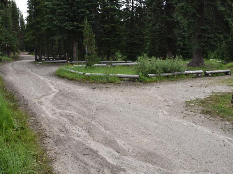
Jeanette Campground sits at approximately 6,144 feet elevation in a forested setting within the Payette National Forest, about 30 miles north of McCall, Idaho. The six shaded sites offer a cool retreat during warm summer days, with each site equipped with a picnic table and fire ring. The campground operates on a first-come, first-served basis with a $10 per night fee. The location provides excellent recreation opportunities. Trail #222 departs directly from the campground, and the Jeanette Creek Trail #140 offers access to the Idaho Centennial Trail. Burgdorf Hot Springs, featuring developed hot pools open to the public, is within walking distance. The historic towns of Secesh and Warren are also nearby. Facilities are primitive: vault toilets are available, but there is no potable water, hookups, or trash service. Campers must bring their own water and pack out all trash. The narrow gravel access road makes this campground best suited for tent camping and small trailers.
Directions
Travel approximately 30 miles north of McCall on the paved Warren Wagon Road (Forest Road 21). Turn left on gravel Forest Road #246 and travel 3 miles. Watch for the campground on your right.
Amenities
| Water | No |
| Fires Allowed | Yes |
| Toilets | Yes |
| Dump Station | — |
| Wifi | — |
| Pets Allowed | Yes |
| Showers | No |
| Electric Hookups | — |
| Water Hookups | — |
| Sewer Hookups | — |
| Camp Store | — |
| Price | $10 |
Vehicle
| Max RV Length | — |
| Max Trailer Length | — |
| Big Rig Friendly | No |
| Pull Through Sites | No |
Contact
| Phone | +1 (208) 634-0400 |
Cell Service
| AT&T | None |
| Verizon | None |
| T-Mobile | None |
Useful Links
| View on Recreation.gov | |
| Payette NF - Jeanette Campground |
Availability
Photos
Community Posts
No posts yet. Be the first to share your experience!