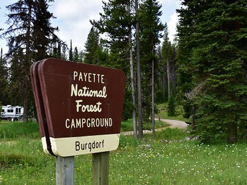
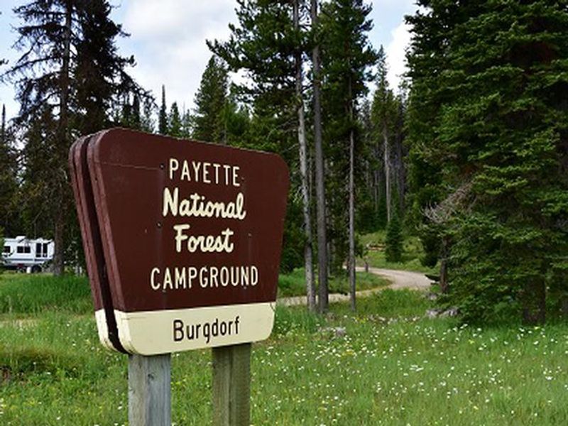
Burgdorf
Closed for the winter season. The campground typically opens in June when snow clears and potable water becomes available. All sites are first-come, first-served with no advance reservations.
Weed Free Hay Order 04-2021-03
Prohibited by this order: Possessing, storing, or transporting non-pelletized hay, straw, or mulch in the Intermountain Region, unless it is certified as weed free by the state where the product originated.
Fireworks and Spark Arrestor Order 04-2021-01
Prohibited by this order: Possessing, discharging, or using any kind of firework or other pyrotechnic device. 36 CFR §261.52(t)Operating or using any internal or external combustion engine without a spark arresting device properly installed, maintained and in effective working order as described…
Explosives and Exploding Target Order 04-2021-02
This order prohibits the use of explosives and exploding targets on National Forest System lands within the Intermountain Region.
About
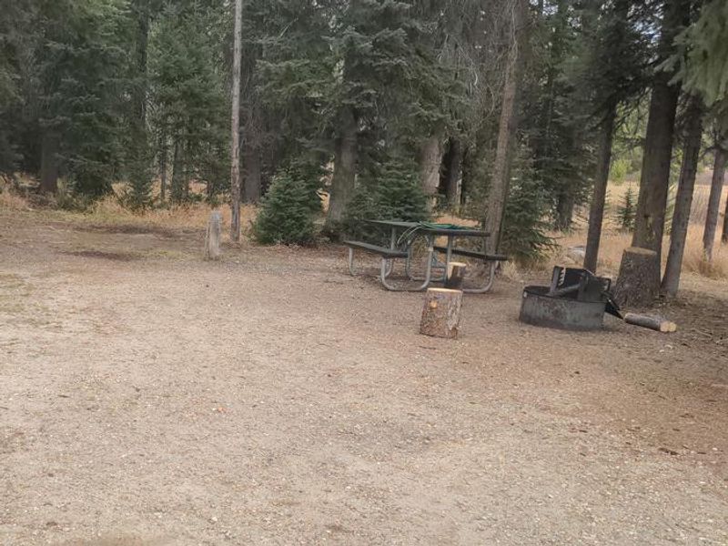
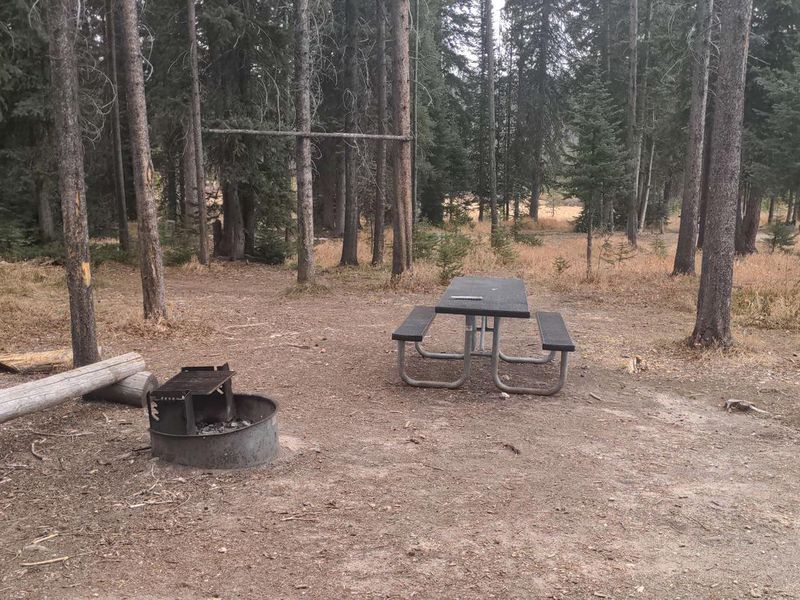
Burgdorf Campground is a small, forested campground in the Payette National Forest, approximately 30 miles north of McCall, Idaho. At 6,250 feet elevation, the three campsites are nestled among trees adjacent to open meadows. Each site is equipped with a picnic table and fire ring, with vault toilets available on-site. The campground operates on a first-come, first-served basis with no advance reservations. Potable water from a hand pump is typically available from June through September, coinciding with when a volunteer camp host is present. There are no hookups, showers, or trash receptacles; campers must pack out all trash. Camping is limited to a 14-day stay. This location serves as a hub for backcountry recreation, with several trails departing directly from the campground: Nethker Creek Trail #143, Jeanette Creek Trail #140, Burgdorf-1 Trail #175, and Burgdorf-2 Trail #176. The nearby Burgdorf Hot Springs is privately owned and features developed pools. The historic towns of Secesh and Warren are also within driving distance.
Directions
Travel approximately 30 miles north of McCall on paved Warren Wagon Road (Forest Road 21). Turn left on gravel Forest Road #246 and continue 2 miles to the campground on your left.
Amenities
| Water | Yes |
| Fires Allowed | Yes |
| Toilets | Yes |
| Dump Station | No |
| Wifi | No |
| Pets Allowed | Yes |
| Showers | No |
| Electric Hookups | — |
| Water Hookups | — |
| Sewer Hookups | — |
| Camp Store | No |
| Price | $10 |
Vehicle
| Max RV Length | — |
| Max Trailer Length | — |
| Big Rig Friendly | No |
| Pull Through Sites | No |
Contact
| Phone | +1 (208) 634-0400 |
Cell Service
| AT&T | None |
| Verizon | None |
| T-Mobile | None |
Availability
Photos
Community Posts
No posts yet. Be the first to share your experience!