Open for the 2026 season. Stage 1 fire restrictions in effect as of May 19, 2026. Stage 2 fire restrictions begin May 26, 2026, prohibiting campfires including in provided fire rings. Opening and closing dates are weather dependent. Some sites are first-come, first-served; others are reservable via Recreation.gov.
No Fire Restrictions
There are currently no fire restrictions within the Apache-Sitgreaves National Forests.
14 Day Camping Limit Order
Apache-Sitgreaves National Forests visitors are limited to no more than 14 consecutive days within any 30 day period.
Scott Reservoir Recreation Site Closure - Lakeside RD
The purpose of this Order to protect public health and safety from unsanitary conditions resulting from use of the area for camping with the lack of bathroom facilities.
About
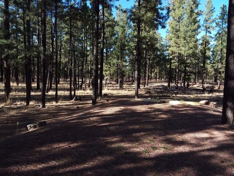
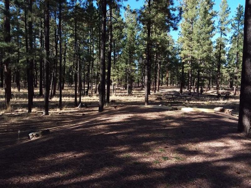
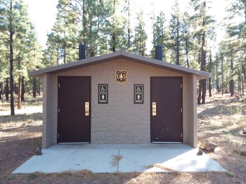
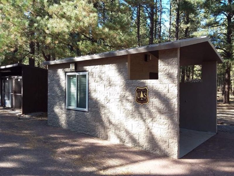
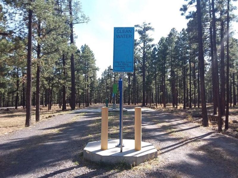
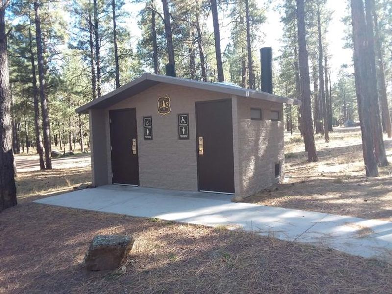
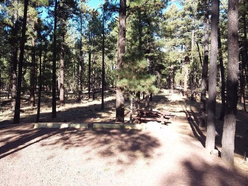
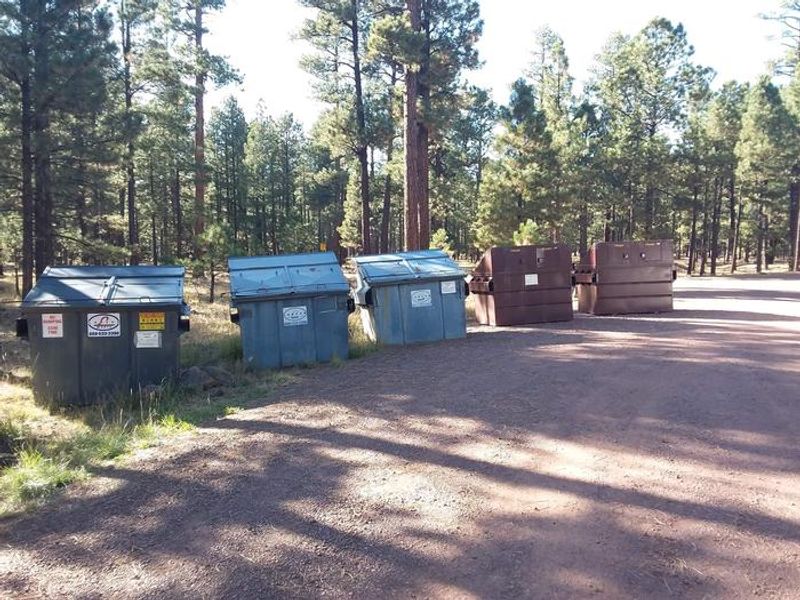
Hoyer Campground is one of the most popular campgrounds in eastern Arizona's White Mountains, particularly favored by families and seniors. Located less than a mile from Greer Lakes in the Apache-Sitgreaves National Forests, the facility offers nearly 100 standard nonelectric campsites nestled among ponderosa pine and aspen at 8,300 feet elevation. Sites are shaded and set on beds of pine needles or grass, with gravel roads throughout. The campground provides vault toilets, shower facilities, a dump station, and garbage service. No potable water is available, so campers must bring their own supply. Campfire grills are provided at sites, and firewood and ice can be purchased from the on-site campground host. The facility includes an amphitheater with educational programs and guided nature walks on Saturday evenings during summer. Greer Lakes and the Little Colorado River are within walking distance, offering excellent fishing for rainbow, cutthroat, brook, and brown trout. Multiple hiking trails are accessible nearby, and the White Mountain and Coronado Trail Scenic Byways provide scenic driving opportunities. The towns of Greer and Springerville offer gas, groceries, restaurants, and equipment rentals. Summer afternoons frequently bring thunderstorms from late June through August, and nighttime temperatures can be cool at this elevation.
Directions
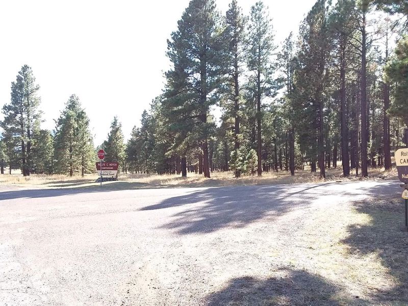
From Show Low, Arizona, take Highway 260 southeast 42 miles to Highway 373. Take Highway 373 south 3 miles to the campground on the right. The campground is 2 miles north of Greer.
Amenities
| Water | No |
| Fires Allowed | No |
| Toilets | Yes |
| Dump Station | Yes |
| Wifi | No |
| Pets Allowed | — |
| Showers | Yes |
| Electric Hookups | — |
| Water Hookups | — |
| Sewer Hookups | — |
| Camp Store | No |
| Price | $38 |
Vehicle
| Max RV Length | 45ft |
| Max Trailer Length | 45ft |
| Big Rig Friendly | — |
| Pull Through Sites | No |
Contact
| camping@rrmofa.com | |
| Phone | +1 (928) 537-8888 |
Cell Service
| AT&T | None |
| Verizon | Yes |
| T-Mobile | None |
Availability
Photos
Community Posts
No posts yet. Be the first to share your experience!