Benny Creek Group Area
Closed due to damage from the 2025 Greer Fire. A Forest Service closure order is in effect through September 30, 2027, unless rescinded earlier. The campground will remain closed until fire repairs are completed.
Wind Advisory issued October 9 at 12:58PM MST until October 11 at 8:00PM MST by NWS Flagstaff AZ
* WHAT...South winds 25 to 35 mph with gusts up to 50 mph expected. * WHERE...All of central and northern Arizona, including Apache, Navajo, Coconino, Yavapai and northern Gila counties. * WHEN...From 8 AM MST /9 AM MDT/ to 8 PM MST /9 PM MDT/ Sunday. * IMPACTS...Gusty winds will blow around unsecured objects. Tree limbs could snap resulting in a few power outages. Travel will be difficult, especially for high profile vehicles. * ADDITIONAL DETAILS...A strong upper-level trough along with the remnants of Tropical Storm Rachel will create a synoptic pattern supportive of strong gusts across northern Arizona, especially along the higher terrain.
From Recreation.gov
Benny Creek Campground will be closed until repairs from the fire can be completed. Please check back as we will update as more information is available.
No Fire Restrictions
There are currently no fire restrictions within the Apache-Sitgreaves National Forests.
About
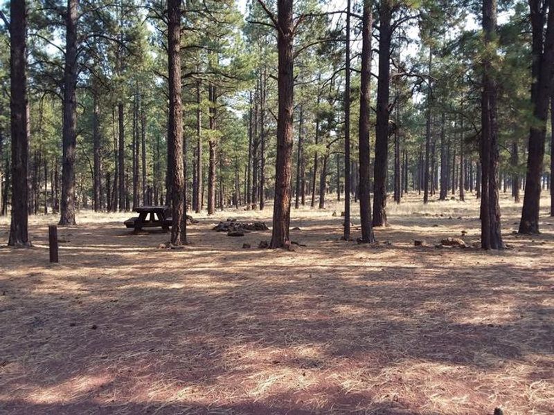
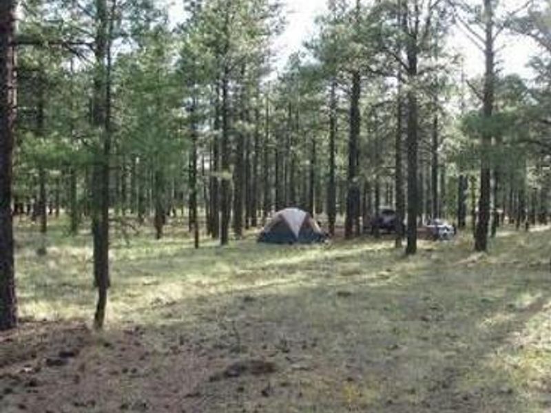
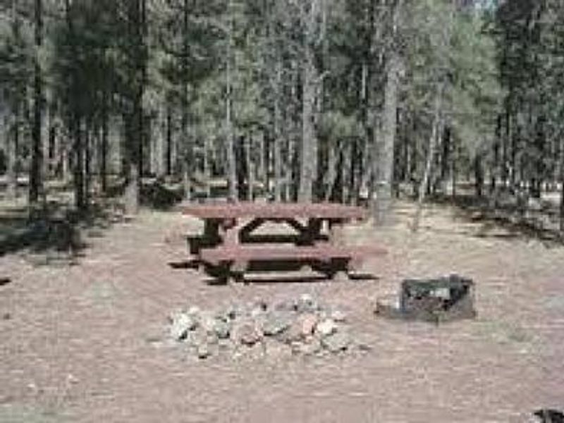
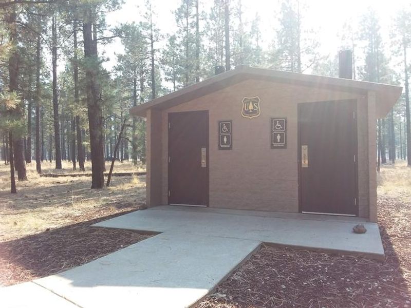
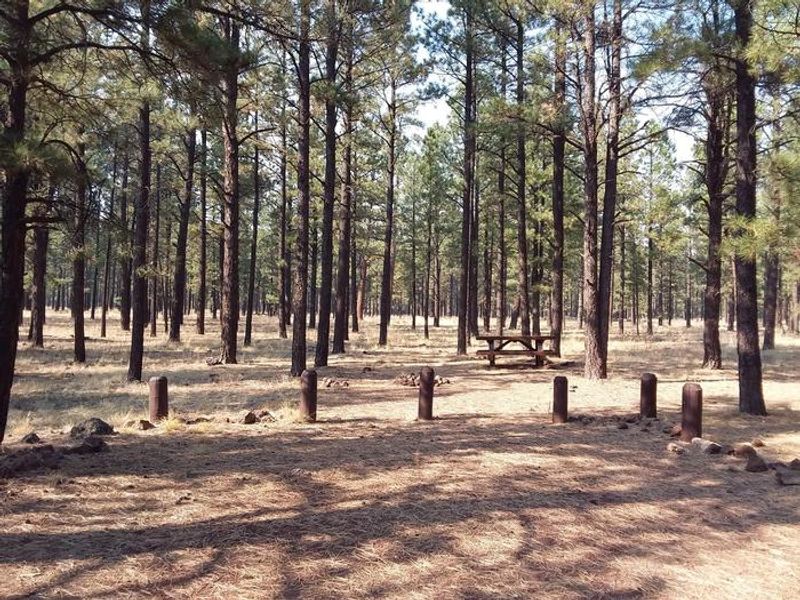
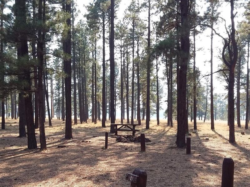
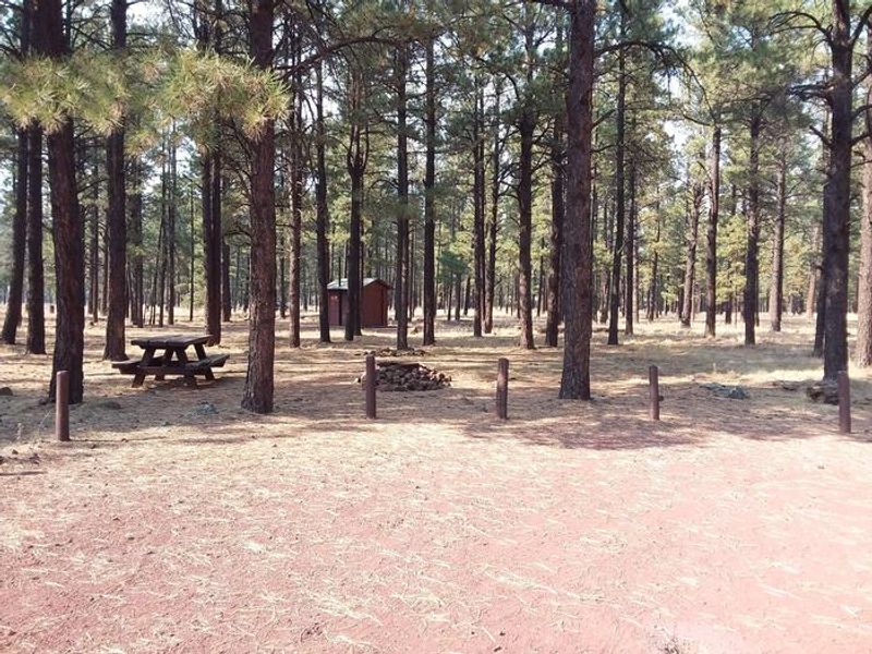
Benny Creek Group Area provides a secluded setting for group camping in the Apache-Sitgreaves National Forests at 8,250 feet elevation. The campground occupies a bench above Benny Creek beneath tall ponderosa pines, offering a cooler mountain retreat during Arizona summers. Abert squirrels and chipmunks are common residents, while mule deer and elk inhabit the surrounding forest. Three group camping areas serve parties of 24-32 guests, with each site featuring fire rings, cooking grills, and picnic tables. The campground accommodates tents, trailers, and small motorhomes up to 24 feet. Vault toilets and garbage service are provided, but there is no potable water on site. The nearest dump station is across the highway at Hoyer Campground. Excellent trout fishing draws anglers to nearby Benny Creek and the Greer Lakes area, including Bunch Reservoir within walking distance. Hikers can explore the Squirrel Springs trail, and the White Mountain Scenic Byway offers scenic drives through the region. The village of Greer provides gas, groceries, and equipment rentals.
Directions
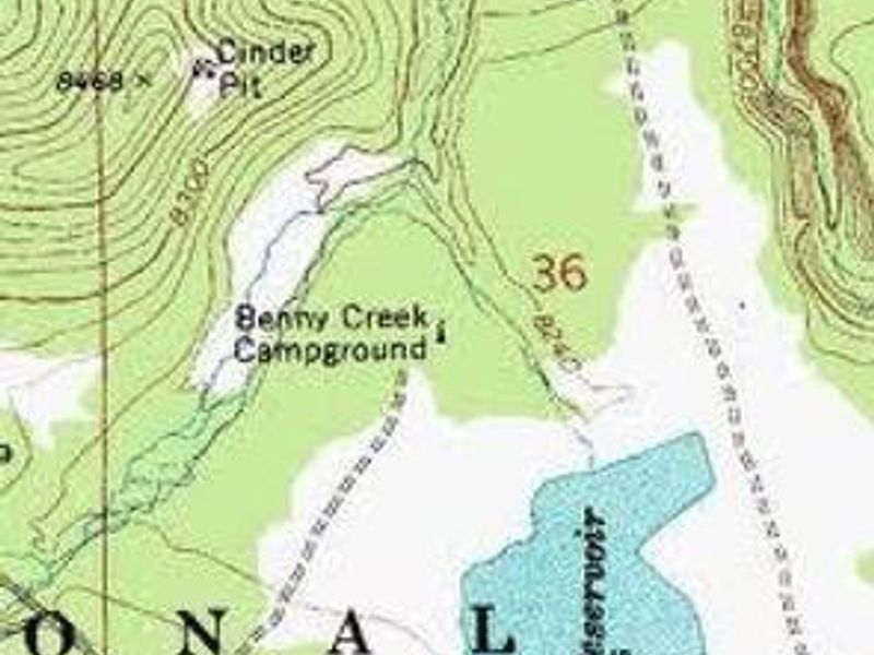
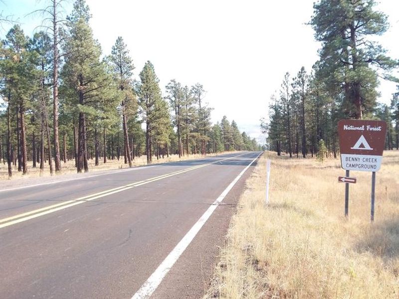
From Show Low, Arizona, take Highway 260 southeast 42 miles to Highway 373. Follow 373 south for 2.5 miles to the Benny Creek Campground entrance on the left. Alternatively, from Greer, go 2.5 miles north on State Highway 373.
Location
Amenities
| Water | No |
| Fires Allowed | Yes |
| Toilets | Yes |
| Dump Station | No |
| Wifi | — |
| Pets Allowed | Yes |
| Showers | No |
| Electric Hookups | — |
| Water Hookups | — |
| Sewer Hookups | — |
| Camp Store | No |
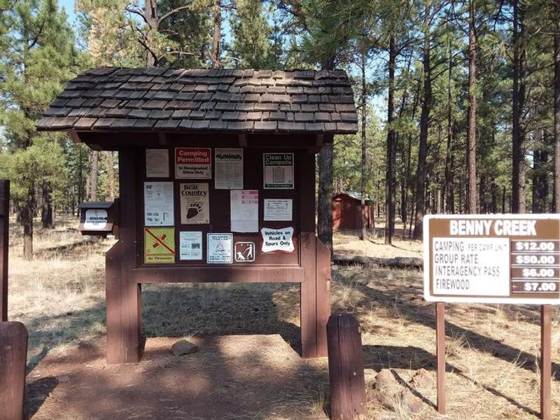
| Price | $60 |
Vehicle
| Max RV Length | 35ft |
| Max Trailer Length | 35ft |
| Big Rig Friendly | No |
| Pull Through Sites | No |
Contact
| SM.FS.ASNF_PAO@usda.gov | |
| Phone | +1 (928) 333-6200 |
Cell Service
| AT&T | None |
| Verizon | Yes |
| T-Mobile | None |
Availability
Photos
Community Posts
No posts yet. Be the first to share your experience!