Bonneville
Open for the 2026 season. The campground operates from late May through September 30, with vault toilets, potable water, and trash collection available. After September 30, dispersed camping is permitted until snow closes access, but no services are provided.
Weed Free Hay Order 04-2021-03
Prohibited by this order: Possessing, storing, or transporting non-pelletized hay, straw, or mulch in the Intermountain Region, unless it is certified as weed free by the state where the product originated.
Fireworks and Spark Arrestor Order 04-2021-01
Prohibited by this order: Possessing, discharging, or using any kind of firework or other pyrotechnic device. 36 CFR §261.52(t)Operating or using any internal or external combustion engine without a spark arresting device properly installed, maintained and in effective working order as described…
Explosives and Exploding Target Order 04-2021-02
This order prohibits the use of explosives and exploding targets on National Forest System lands within the Intermountain Region.
About
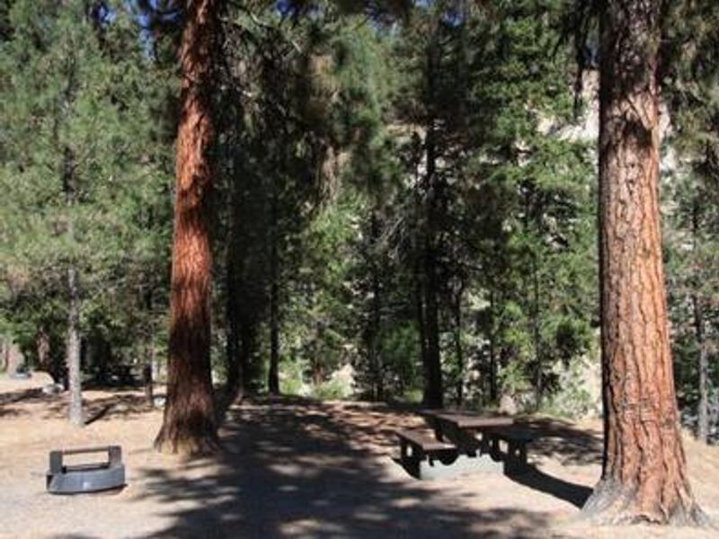
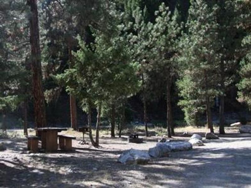
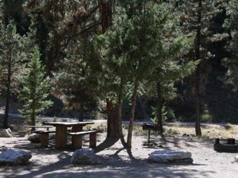
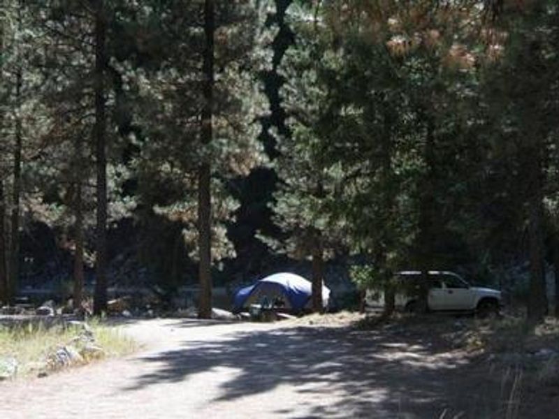
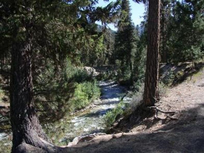
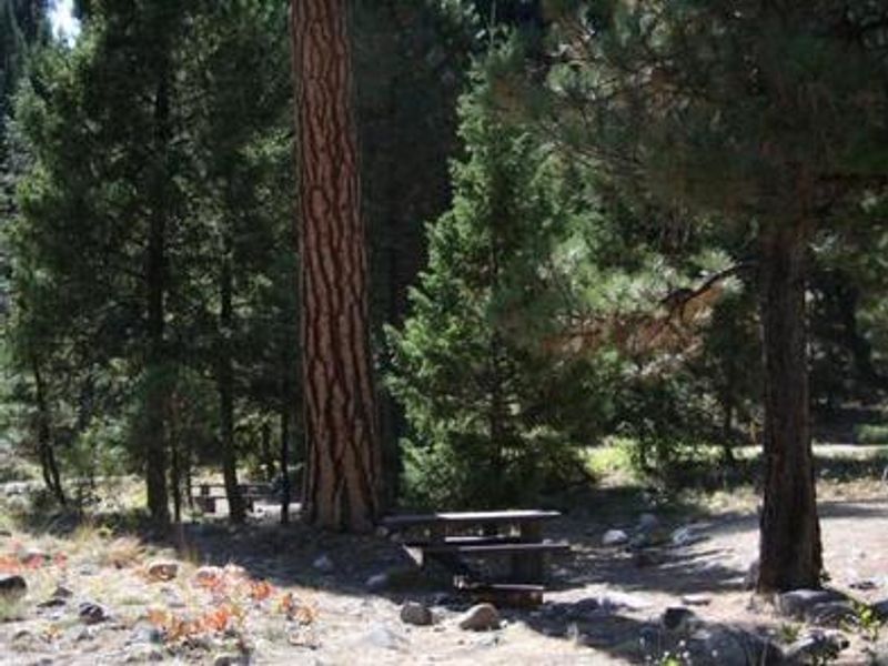
Bonneville Campground is nestled in a forest of Ponderosa pine and Douglas fir at 4,700 feet elevation on a bluff above Warm Springs Creek. The campground offers 22 sites including 21 single-family sites and one double site, with several ADA-accessible options. Four sites (009-012) are designated tent-only. Each site includes a picnic table and campfire ring with grill. Vault toilets and potable water are available during the operating season. The main attraction is Bonneville Hot Springs, reached via a quarter-mile hiking trail from the campground. Warm Springs Creek provides good trout fishing right at the campground, while the South Fork Payette River across Highway 21 offers whitewater rafting, kayaking, and additional fishing. The area lies along the Ponderosa Pine Scenic Byway, with numerous other natural hot springs pools nearby. After the regular season ends September 30, the area remains open for dispersed camping until snow closes access, though water, trash, and toilet services are not available during this period.
Directions
From Boise, take State Highway 55 north to Banks. Turn east on Banks-Lowman Highway 17 to Lowman. Turn left on Highway 21. The campground is located at milepost 91.5, approximately 19 miles east of Lowman.
Location
Amenities
| Water | Yes |
| Fires Allowed | Yes |
| Toilets | Yes |
| Dump Station | No |
| Wifi | No |
| Pets Allowed | — |
| Showers | No |
| Electric Hookups | — |
| Water Hookups | — |
| Sewer Hookups | — |
| Camp Store | No |
| Price | $20 - $40 |
Vehicle
| Max RV Length | 100ft |
| Max Trailer Length | 100ft |
| Big Rig Friendly | — |
| Pull Through Sites | No |
Contact
| Phone | +1 (208) 259-3361 |
Cell Service
| AT&T | None |
| Verizon | None |
| T-Mobile | None |
Availability
Photos
Community Posts
No posts yet. Be the first to share your experience!