Gooseneck Campground
Open year-round. Reservations required via recreation.gov. Starting April 15, 2025, payment at backcountry campgrounds uses Scan & Pay through the recreation.gov mobile app. Potable water is seasonal; vault toilets available year-round.
Forest Closure - Bridge Replacement at Paddy Creek
Paddy Creek Recreation Area, National Forest System Road 211, Big Piney Trailhead Spur Trail (03-016-D), Paddy Creek Trail Loop (Trail 03-016-C), and a section of the Big Piney Trail (03-016-A) will be closed from December 1, 2026 until December 31, 2027 while a bank on the creek is restabilized…
Forest Order - Trail 119 Closure Extended (Chadwick Motorized Trail System)
The closure of Trail 119 of the Chadwick Motorized Trail System has been extended due to delays with the culvert replacement. This order supersedes the previous order. The closure of Trail 119 begins on Trail 101 about halfway between KC Pavilion Trailhead and Cobb Ridge Campground and extends…
Beaver Lake Temporary Closure
Beaver Lake, located within the Poplar Bluff Ranger District, will be temporarily closed to facilitate dam repair work.
About
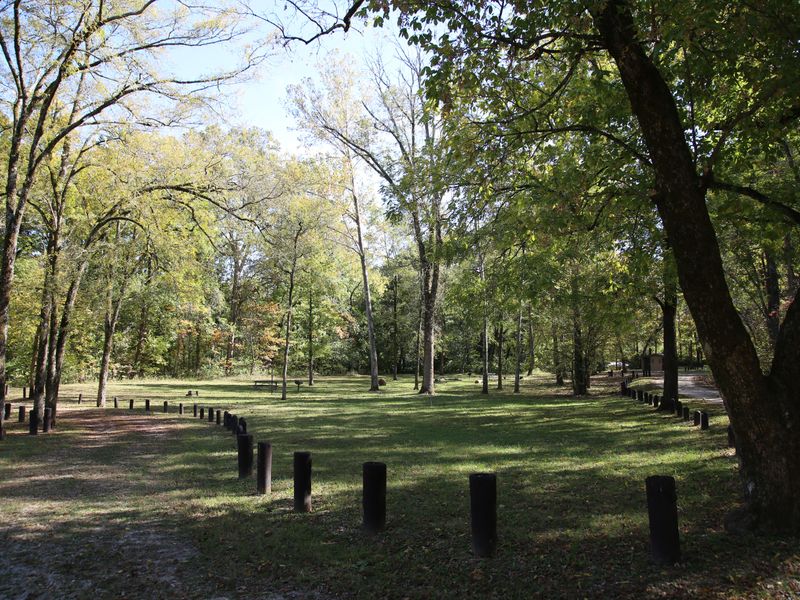
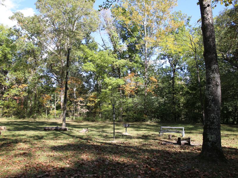
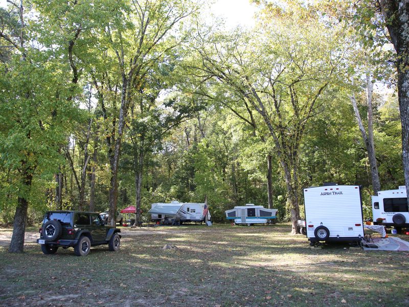
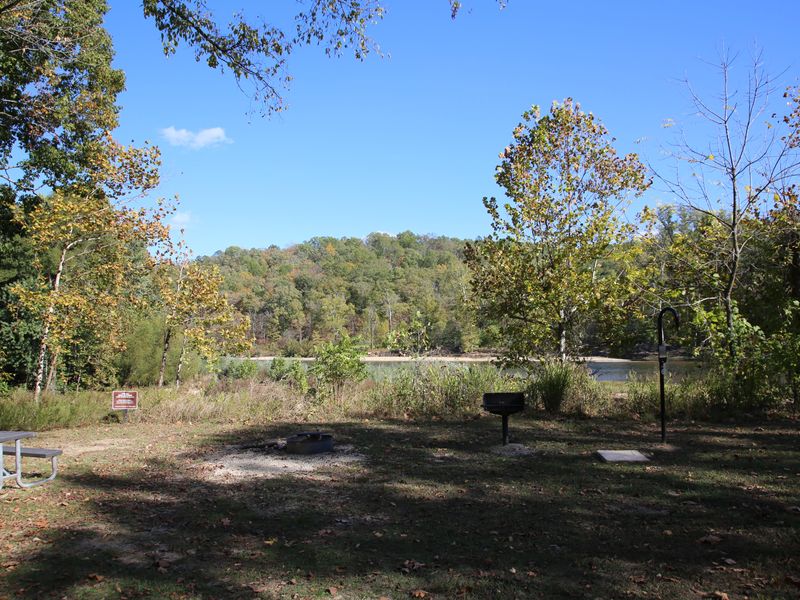
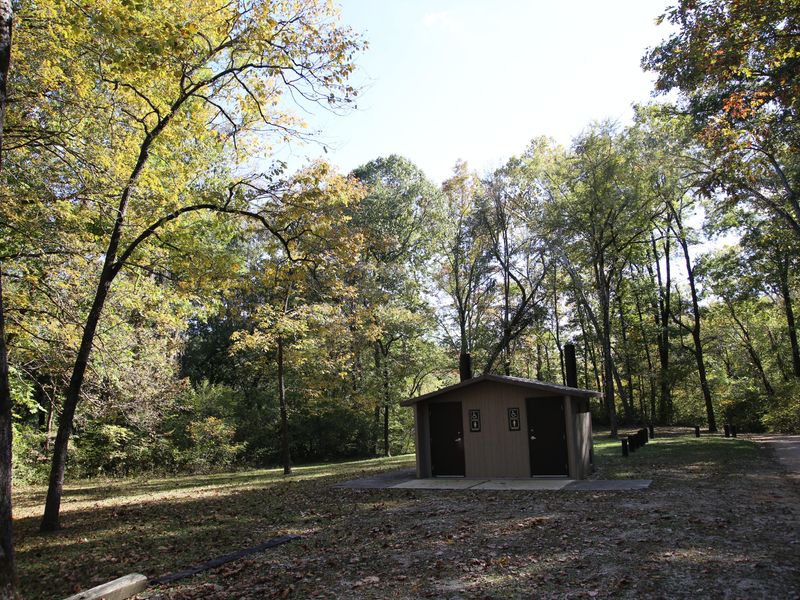
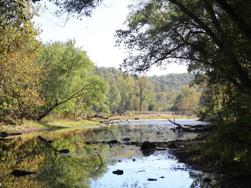
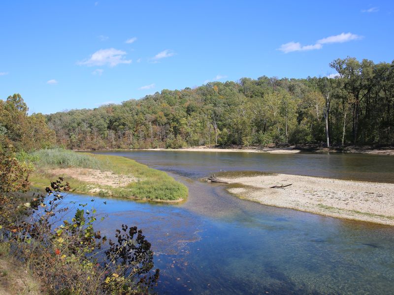
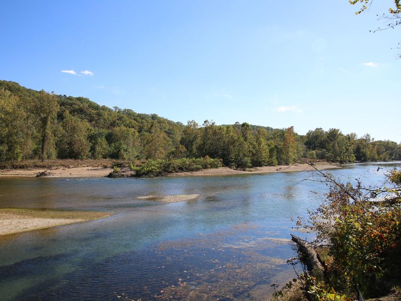
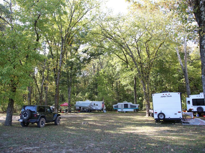
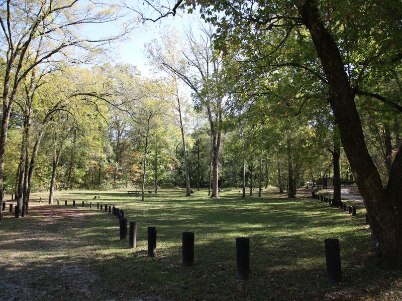
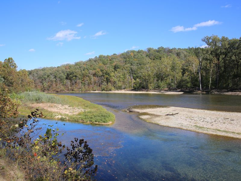
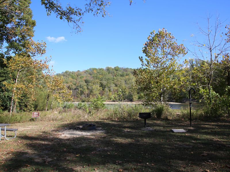
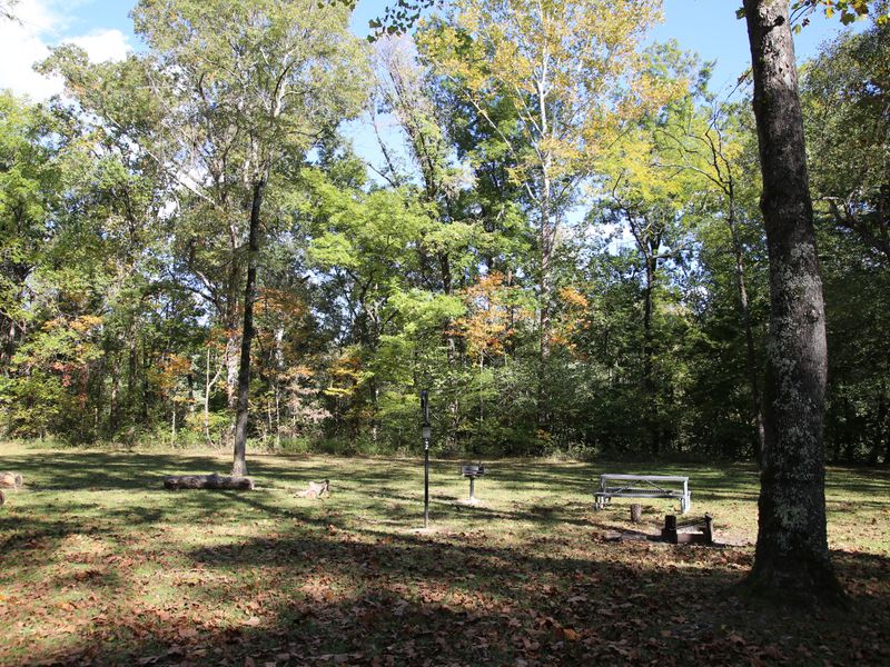
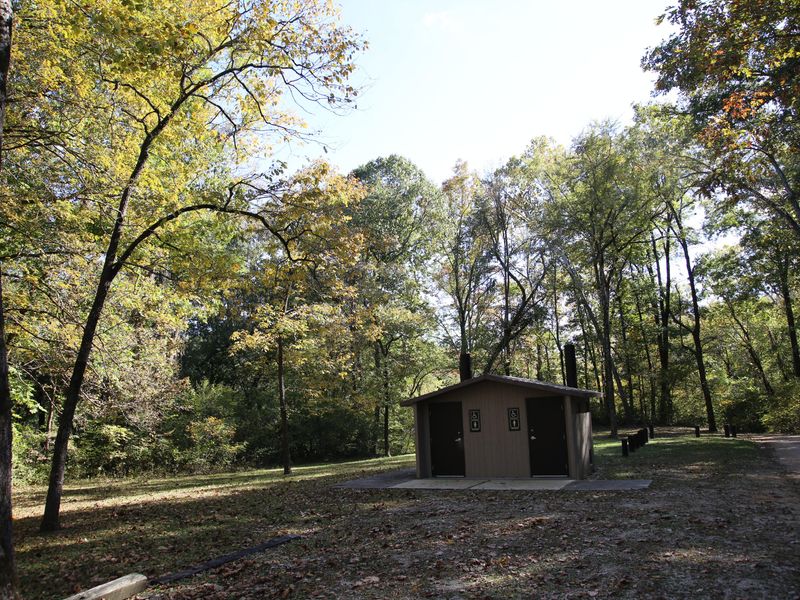
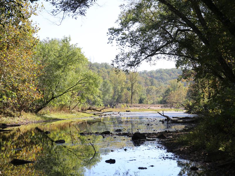
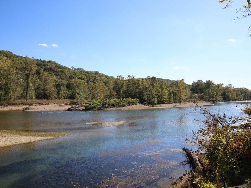
Nestled on the park's southern boundary, Gooseneck Campground offers well-maintained sites right along the lower Current River. A small inlet provides a great space to see wildlife, while gravel bars support swimming, floating, and other river activities. The campground features a large, flat camping area, making it a popular destination for RVs and campers alike. Sites closest to the river have unobstructed views of the waterway. Other sites enjoy dappled shade from oaks, hickories, walnuts, and sycamores. All backcountry sites include picnic tables, fire rings, lantern posts, and vault toilet restrooms. Potable water is available seasonally. The campground is located roughly half an hour south of Van Buren, MO, accessed via Highway 60, Highway C, and Big Barren Creek Road. The final 1.2 miles require driving on gravel roads. This remote location offers solitude and direct river access for those seeking a more secluded camping experience.
Directions
From Van Buren, head west on Highway 60. Around the 5-mile mark, turn south onto Highway C. Stay on Highway C for approximately 11 miles, then turn east onto Big Barren Creek Road. Follow this road for about 1.2 miles until it dead-ends at Gooseneck Campground. The final 1.2 miles are on gravel roads.
Amenities
| Water | Yes |
| Fires Allowed | Yes |
| Toilets | Yes |
| Dump Station | No |
| Wifi | No |
| Pets Allowed | Yes |
| Showers | No |
| Electric Hookups | — |
| Water Hookups | — |
| Sewer Hookups | — |
| Camp Store | No |
| Price | $10 - $25 |
Vehicle
| Max RV Length | — |
| Max Trailer Length | — |
| Big Rig Friendly | — |
| Pull Through Sites | — |
Contact
| ozar_campground_operations@nps.gov | |
| Phone | +1 (573) 323-4236 |
Cell Service
| AT&T | None |
| Verizon | None |
| T-Mobile | None |
Photos
Community Posts
No posts yet. Be the first to share your experience!