Gold Bar Group Sites
Open for reservations via Recreation.gov. No seasonal closure dates specified. No potable water or dump station on-site.
Hydrologic Outlook issued October 9 at 10:53AM MDT by NWS Grand Junction CO
ESFGJT A strong low pressure system off the Pacific Coast will begin to draw in tropical moisture associated with Topical Storm Rachel this weekend. This strong southerly fetch will draw anomalously high moisture content across the Desert Southwest and into eastern Utah and western Colorado. The chance for widespread precipitation increases Saturday evening into Sunday. Total precipitation forecasts range from 1 to 3 inches across high terrain, with highest amounts favoring the Uintas, Tavaputs and the Southwest San Juan mountains. Embedded thunderstorms are also possible Sunday afternoon, increasing the threat for flash flooding across vulnerable terrain. While confidence in location and rainfall rates remain low at this time, the potential for rapidly rising rivers, streams, normally dry arroyos and slot canyons are possible Sunday through Monday. Please follow the evolving forecast, especially if your plans including recreating or commuting across eastern Utah and western Colorado Sunday onward. Also, keep in mind weather potential above your location and upstream, particularly for those who reside below sensitive terrain like recent burn scars.
About
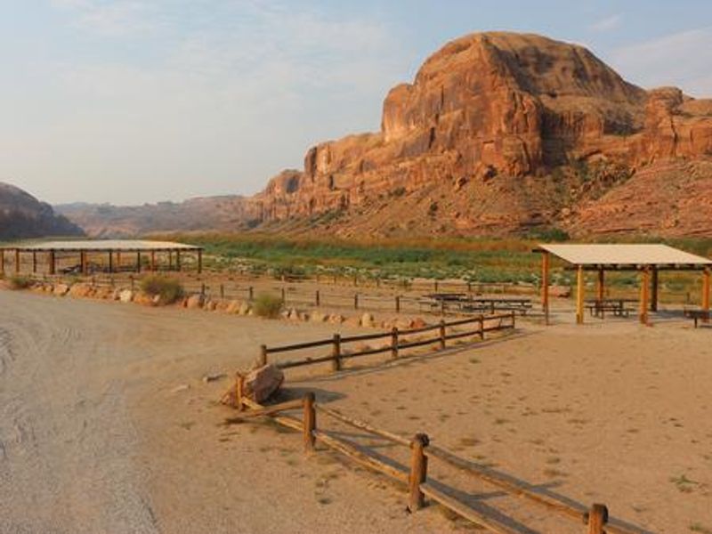
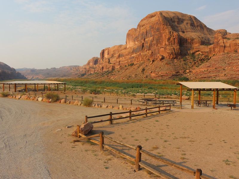
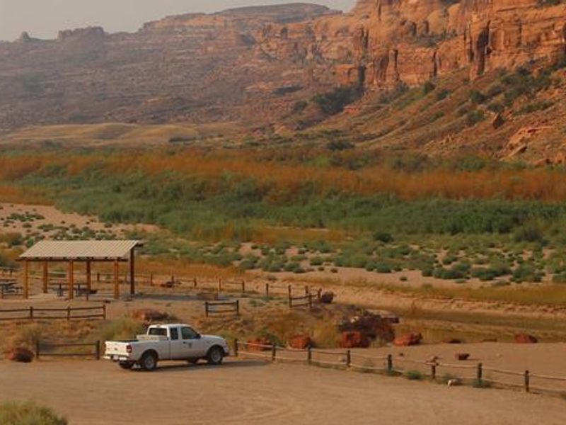
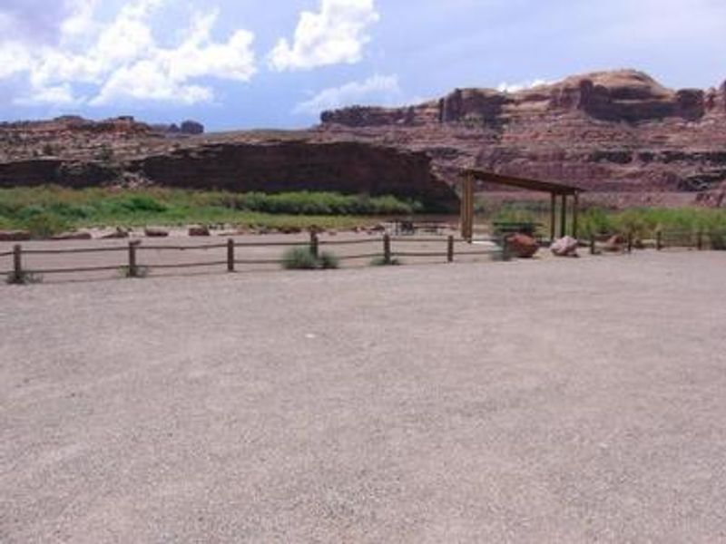
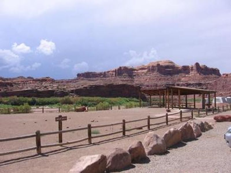
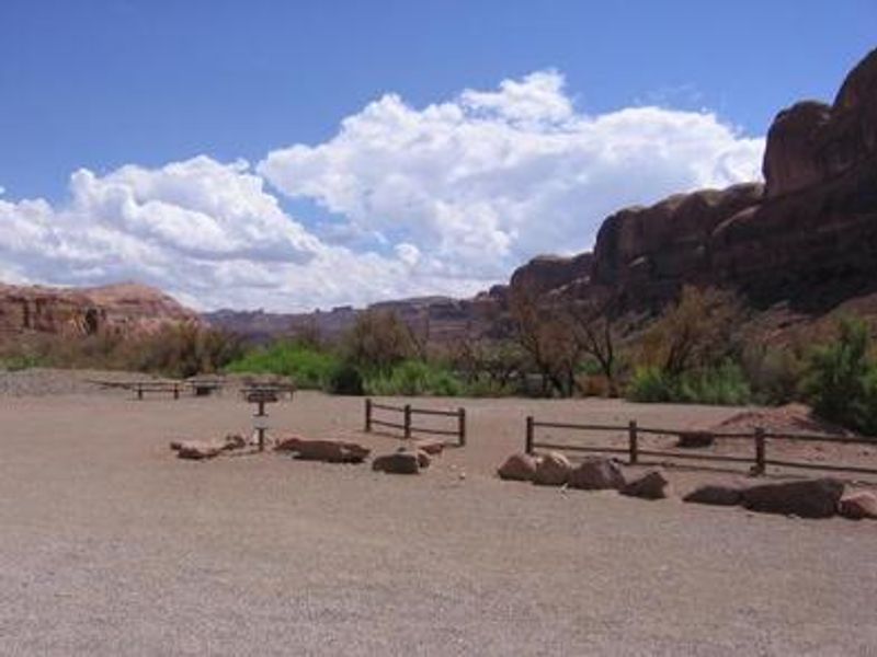
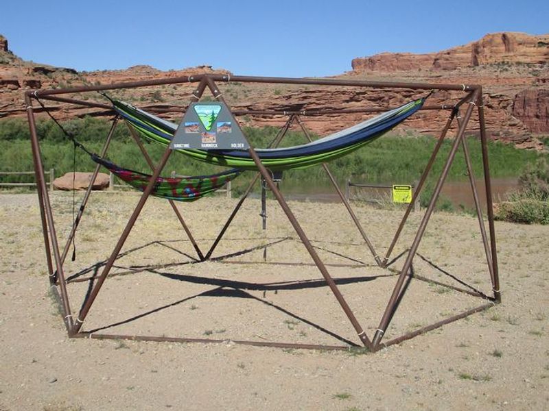
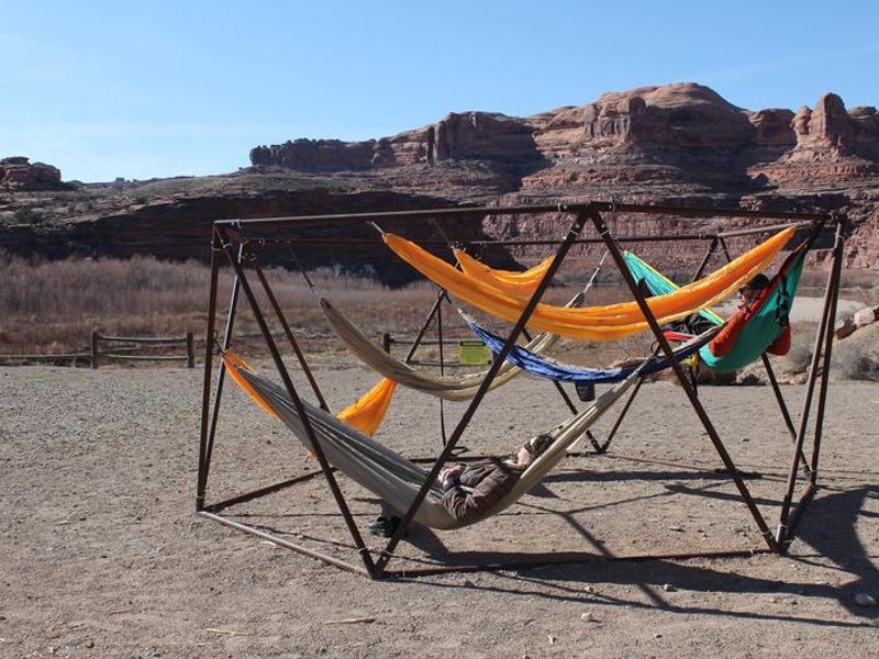
Gold Bar Group Sites is a BLM-managed campground featuring four distinct group areas along the Colorado River on scenic Highway 279 west of Moab. The sites are designed primarily for tent camping but can accommodate RVs and trailers, with Site D being particularly suited for motorhome groups. Each site includes fire grates, picnic tables, and access to vault toilets. Sites A, B, and C feature shade shelters, and Site B has a unique hammock structure. The campground sits in classic red rock canyon country with striking views of mesas and the Colorado River corridor. A boat ramp provides direct river access for rafting and kayaking. The Corona Arch trailhead, offering a 1.5-mile hike to two spectacular natural arches, is located directly across the highway. Arches and Canyonlands National Parks, Dead Horse Point State Park, and the Manti-La Sal National Forest are all nearby. Group capacities range from 30 people at Sites A, B, and D to 90 people at Site C. Generator hours are 8:00 AM to 8:00 PM, with quiet hours from 10:00 PM to 6:00 AM. There is no potable water, dump station, or hookups on-site; all water and services are available in Moab.
Directions
From Moab, drive five miles north on Hwy 191 to the intersection with Hwy 279. Turn left/west on Hwy 279 and drive ten miles to the campground entrance road.
Location
Amenities
| Water | No |
| Fires Allowed | Yes |
| Toilets | Yes |
| Dump Station | No |
| Wifi | No |
| Pets Allowed | Yes |
| Showers | No |
| Electric Hookups | — |
| Water Hookups | — |
| Sewer Hookups | — |
| Camp Store | No |
| Price | $150 |
Vehicle
| Max RV Length | 50ft |
| Max Trailer Length | 50ft |
| Big Rig Friendly | No |
| Pull Through Sites | No |
Contact
| blm_ut_moabgroupsite@blm.gov | |
| Phone | +1 (435) 259-2100 |
Cell Service
| AT&T | None |
| Verizon | None |
| T-Mobile | None |
Availability
Photos
Community Posts
No posts yet. Be the first to share your experience!