Girard Ridge Lookout
Currently closed for the season. Opens June or July depending on snow levels and operates through October. Reservations available via Recreation.gov up to 180 days in advance. Maximum stay 15 nights.
About
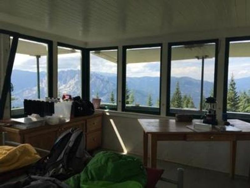
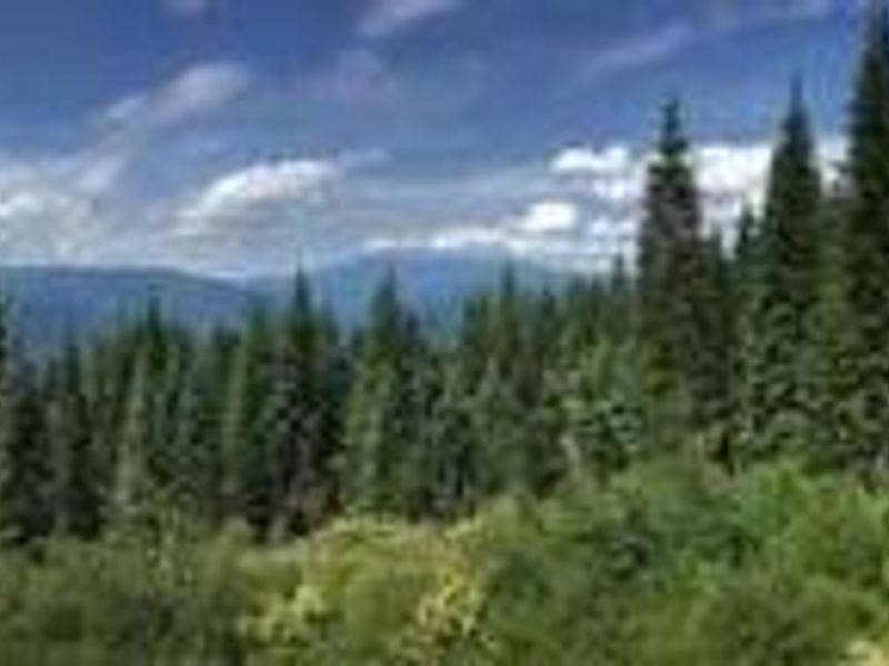
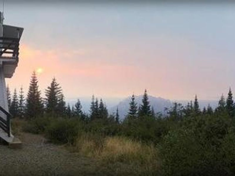
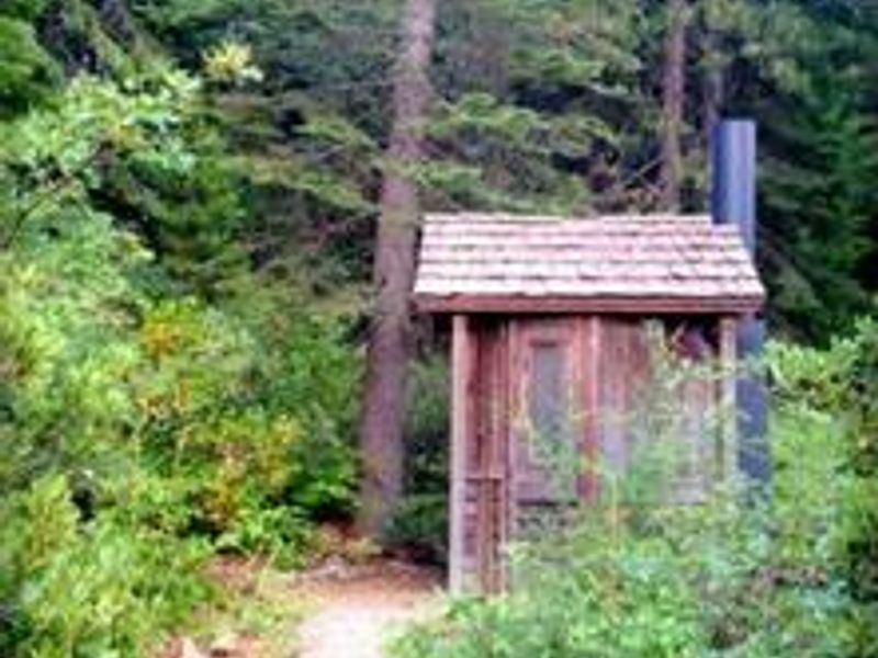
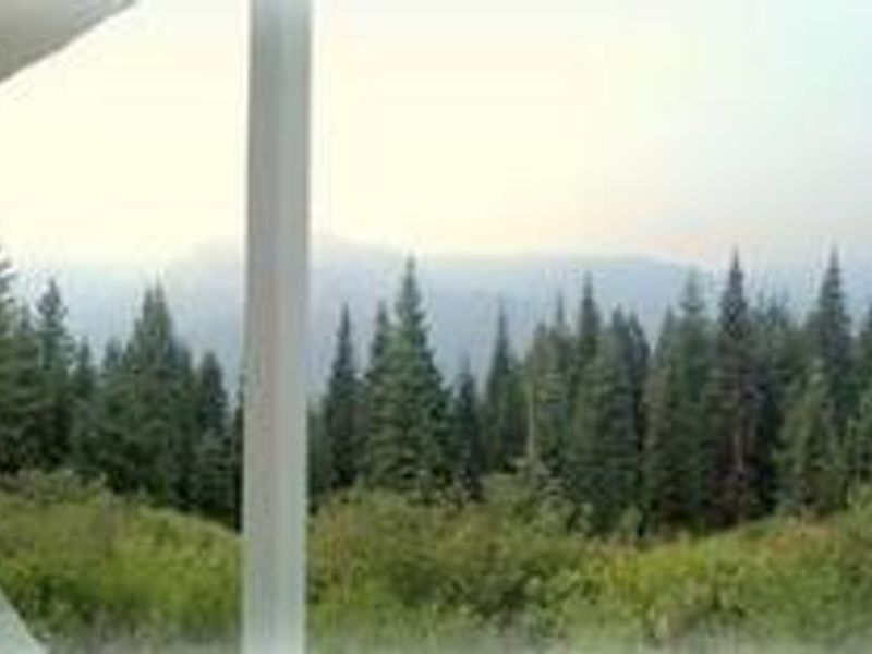
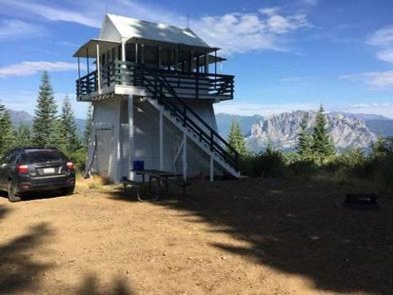
Girard Ridge Lookout was constructed in 1931 and served the Forest Service as an active fire lookout until 1981. It is one of the few remaining historic lookouts of its particular design still standing in California. In 1997, the structure was restored to its original character through collaboration between the Forest Service, volunteers, and local community organizations. The lookout sits at 4,809 feet elevation above the Sacramento River Canyon and offers unobstructed panoramic views. Mount Shasta dominates the northern vista, while the gray spires of Castle Crags frame the western view and Lassen Peak is visible to the southeast. The 14x14 foot cabin is elevated 13 feet on stairs and includes two twin beds with mattresses, storage cabinets, and an eating table. This is a primitive rental with no water, electricity, or cooking facilities. Guests must bring drinking water, bedding, cookware, and all supplies. A vault toilet is located about 30 feet from the cabin. Only portable gas stoves with a valid California campfire permit are allowed. Access requires high-clearance vehicles on the final steep dirt road section, and guests must obtain the gate combination from McCloud Ranger Station one week prior to arrival.
Directions
From Redding or Mount Shasta, take Interstate 5 to the Soda Creek exit (726). Head east toward the Sacramento River, cross the bridge, and veer right to the road intersection. Turn right on Riverside and follow the narrow paved road to Forest Service Road 38N23 (Girard Ridge Road). Turn left and head uphill; the road changes from pavement to dirt at 1.9 miles. Continue past the microwave towers to the top of the hill at approximately 6.5 miles, then turn left onto Forest Service Road 39N13. After 0.6 miles, turn left at the Girard Ridge Lookout sign and continue through the green Forest Service gate approximately 0.5 miles to the lookout. High-clearance vehicle recommended.
Location
Amenities
| Water | No |
| Fires Allowed | No |
| Toilets | Yes |
| Dump Station | No |
| Wifi | No |
| Pets Allowed | Yes |
| Showers | No |
| Electric Hookups | — |
| Water Hookups | — |
| Sewer Hookups | — |
| Camp Store | No |
| Price | $75 |
Vehicle
| Max RV Length | — |
| Max Trailer Length | — |
| Big Rig Friendly | No |
| Pull Through Sites | No |
Contact
| Phone | +1 (530) 964-2184 |
Cell Service
| AT&T | None |
| Verizon | Yes |
| T-Mobile | Yes |
Availability
Photos
Community Posts
No posts yet. Be the first to share your experience!