Fremont Peak Sp Group Campground
Open for reservations through ReserveCalifornia. Due to ongoing water infrastructure issues, potable water is not available as of May 5, 2026. Campers must bring all water needed for their stay. Wood and charcoal campfires are currently prohibited; only gas camp stoves and propane fire bowls are permitted.
About
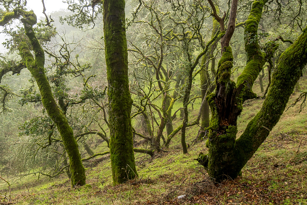
Fremont Peak State Park Group Campground, known as Doe Flats, occupies a striking position in the Gabilan Range of the California Coast Ranges. At 3,169 feet elevation, the site delivers expansive vistas stretching from Monterey Bay to the Salinas Valley and beyond to the Santa Lucia Mountains. The group site can host up to 50 campers in an oak-shaded setting, making it well-suited for organized groups, scout troops, and family gatherings. The park is perhaps best known for its Challenger Learning Center Observatory, which houses a 30-inch Newtonian telescope and hosts public astronomy programs on select evenings. Hiking opportunities include the 0.5-mile Fremont Peak Trail to the summit, where on exceptionally clear days visitors can see the Sierra Nevada 100 miles to the east. The park's location just 11 miles south of San Juan Bautista provides convenient access while maintaining a remote mountain atmosphere.
Directions
From San Juan Bautista, head south on San Juan Canyon Road for 11 miles. The park entrance is at the end of the road at 10700 San Juan Canyon Road, San Juan Bautista, CA 95045.
Nearby Campgrounds
Amenities
| Water | No |
| Fires Allowed | No |
| Toilets | Yes |
| Dump Station | — |
| Wifi | — |
| Pets Allowed | Yes |
| Showers | No |
| Electric Hookups | — |
| Water Hookups | — |
| Sewer Hookups | — |
| Camp Store | — |
| Price | $100 |
Vehicle
| Max RV Length | 25ft |
| Max Trailer Length | — |
| Big Rig Friendly | No |
| Pull Through Sites | No |
Contact
| Phone | +1 (831) 623-4255 |
Cell Service
| AT&T | Yes |
| Verizon | Yes |
| T-Mobile | None |
Availability
Photos




Community Posts
No posts yet. Be the first to share your experience!