Fowlers Campground
The campground is open for the 2026 season. Operating season runs from May through October. Most sites require advance reservations via Recreation.gov; 8 of 39 sites are first-come, first-served. 14-day stay limit enforced.
Winter Storm Warning issued November 18 at 2:58PM PST until November 19 at 4:00AM PST by NWS Medford OR
* WHAT...For the Winter Storm Warning, additional snow accumulations between 2 and 7 inches. For the Winter Weather Advisory, additional snow accumulations up to 3 inches. * WHERE...The Winter Storm Warning is for areas above 4000 ft, including Snowman and Dead Horse Summits on highway 89, and Everitt Memorial Highway and the Old SKi Bowl. The Winter Weather Advisory includes the Interstate 5 Corridor between Black Butte Summit and Weed, and the cities of Mount Shasta City and McCloud. * WHEN...Until 4 AM PST Thursday. * IMPACTS...Travel could be very difficult. The hazardous conditions will impact this evenings commute. Roads, and especially bridges and overpasses, will likely become slick and hazardous. The strong winds and weight of snow on tree limbs may down power lines and could cause sporadic power outages.
Winter Weather Advisory issued November 18 at 2:58PM PST until November 19 at 4:00AM PST by NWS Medford OR
* WHAT...For the Winter Storm Warning, additional snow accumulations between 2 and 7 inches. For the Winter Weather Advisory, additional snow accumulations up to 3 inches. * WHERE...The Winter Storm Warning is for areas above 4000 ft, including Snowman and Dead Horse Summits on highway 89, and Everitt Memorial Highway and the Old SKi Bowl. The Winter Weather Advisory includes the Interstate 5 Corridor between Black Butte Summit and Weed, and the cities of Mount Shasta City and McCloud. * WHEN...Until 4 AM PST Thursday. * IMPACTS...Travel could be very difficult. The hazardous conditions will impact this evenings commute. Roads, and especially bridges and overpasses, will likely become slick and hazardous. The strong winds and weight of snow on tree limbs may down power lines and could cause sporadic power outages.
Fireworks and Explosives are always Prohibited
Fireworks and explosives (including explosive targets) are always prohibited on national forest lands. The prohibition of fireworks and exploding targets on national forest system lands is part of a set of permanent fire safety regulations in the Code of Federal Regulations (CFR), listed below.…
About
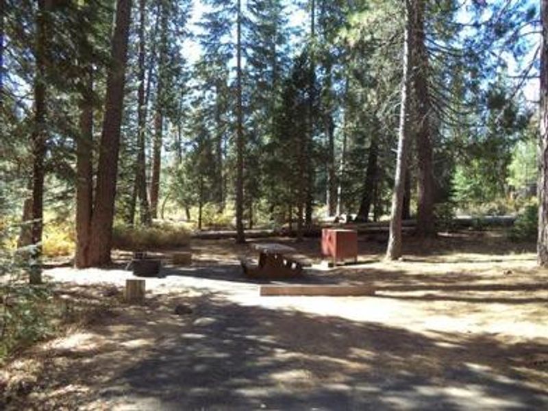
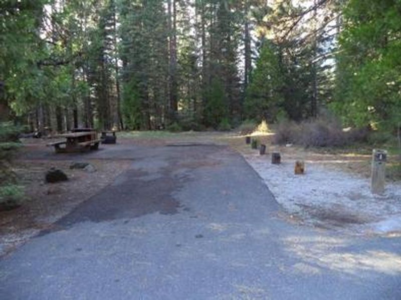
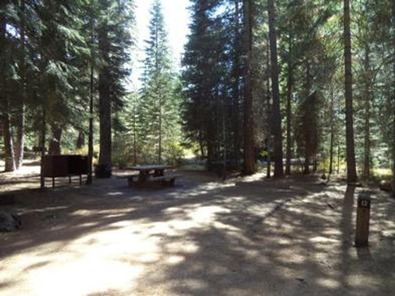
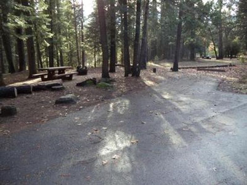
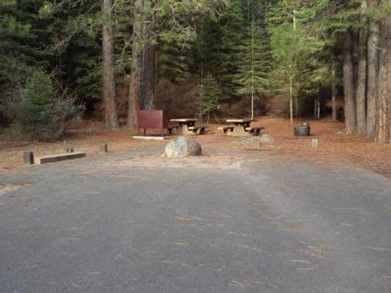
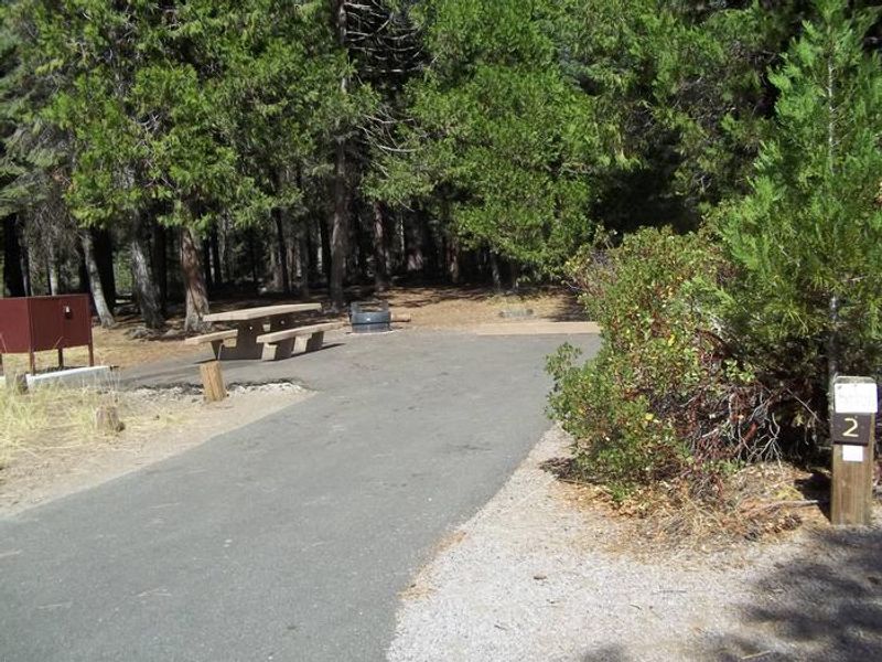
Fowlers Campground occupies a scenic location on the Upper McCloud River, nestled in a mixed conifer and oak woodland within the Shasta-Trinity National Forest. The campground is renowned for its proximity to the McCloud Falls, three waterfalls varying from 15 to 50 feet in height. A riverside trail departing directly from the campground provides access to all three falls on an approximately three-mile round-trip hike. Swimming and fishing are popular activities along this stretch of river, which has no special fishing restrictions. The campground offers 39 sites with concrete picnic tables and fire rings. Some sites are equipped with bear-resistant food storage lockers. Vault restrooms and piped drinking water are available throughout the campground. Paved parking spurs accommodate tents and mid-sized RVs or trailers, though large RVs are not recommended. Of the 39 sites, 31 are reservable through Recreation.gov and 8 are first-come, first-served. The McCloud River Loop, a paved scenic road approximately 10-12 miles in length, provides vehicle access to overlooks at the Middle and Upper Falls for those who prefer not to hike. Nearby attractions include Lakin Dam Fishing Area, Cattle Camp Swimming Hole, McCloud Reservoir, and the towns of McCloud and Mount Shasta.
Directions
From McCloud, California, go east on Highway 89. Drive 5 miles and look for the Fowlers/Lower Falls sign on the left side of the highway. Turn right just after the sign and drive approximately 1 mile. After crossing the River Loop Road, take the left fork into the campground. The right fork leads to the day-use parking area for Lower Falls and the River Trail.
Location
Amenities
| Water | Yes |
| Fires Allowed | Yes |
| Toilets | Yes |
| Dump Station | No |
| Wifi | No |
| Pets Allowed | Yes |
| Showers | No |
| Electric Hookups | — |
| Water Hookups | — |
| Sewer Hookups | — |
| Camp Store | No |
| Price | $30 |
Vehicle
| Max RV Length | 59ft |
| Max Trailer Length | 59ft |
| Big Rig Friendly | No |
| Pull Through Sites | No |
Contact
| Phone | +1 (530) 964-2184 |
Cell Service
| AT&T | Yes |
| Verizon | Yes |
| T-Mobile | Yes |
Availability
Photos
Community Posts
No posts yet. Be the first to share your experience!