Camp 4 Group Campground
Currently closed. The campground operates seasonally from May 1 through November 1. Opening may be delayed due to conditions. Reservations required via Recreation.gov.
Winter Storm Warning issued November 18 at 3:02AM PST until November 19 at 4:00AM PST by NWS Medford OR
* WHAT...Heavy snow expected. Total snow accumulations between 10 and 18 inches above 4000 ft and winds gusting as high as 50 mph. Total snow accumulations between 3 and 8 inches below 4000 ft and winds gusting as high as 35 mph. * WHERE...The Winter Storm Warning is for areas above 4000 ft, including Snowman and Dead Horse Summits on highway 89, and Everitt Memorial Highway and the Old SKi Bowl. The Winter Weather Advisory includes the Interstate 5 Corridor between Black Butte Summit and Weed, and the cities of Mount Shasta City and McCloud. * WHEN...Until 4 AM PST Thursday. * IMPACTS...Travel could be very difficult to impossible. The hazardous conditions will impact the Wednesday morning and evening commutes. Gusty winds could bring down tree branches. Roads, and especially bridges and overpasses, will likely become slick and hazardous. The strong winds and weight of snow on tree limbs may down power lines and could cause sporadic power outages.
Winter Weather Advisory issued November 18 at 3:02AM PST until November 19 at 4:00AM PST by NWS Medford OR
* WHAT...Heavy snow expected. Total snow accumulations between 10 and 18 inches above 4000 ft and winds gusting as high as 50 mph. Total snow accumulations between 3 and 8 inches below 4000 ft and winds gusting as high as 35 mph. * WHERE...The Winter Storm Warning is for areas above 4000 ft, including Snowman and Dead Horse Summits on highway 89, and Everitt Memorial Highway and the Old SKi Bowl. The Winter Weather Advisory includes the Interstate 5 Corridor between Black Butte Summit and Weed, and the cities of Mount Shasta City and McCloud. * WHEN...Until 4 AM PST Thursday. * IMPACTS...Travel could be very difficult to impossible. The hazardous conditions will impact the Wednesday morning and evening commutes. Gusty winds could bring down tree branches. Roads, and especially bridges and overpasses, will likely become slick and hazardous. The strong winds and weight of snow on tree limbs may down power lines and could cause sporadic power outages.
Fireworks and Explosives are always Prohibited
Fireworks and explosives (including explosive targets) are always prohibited on national forest lands. The prohibition of fireworks and exploding targets on national forest system lands is part of a set of permanent fire safety regulations in the Code of Federal Regulations (CFR), listed below.…
About
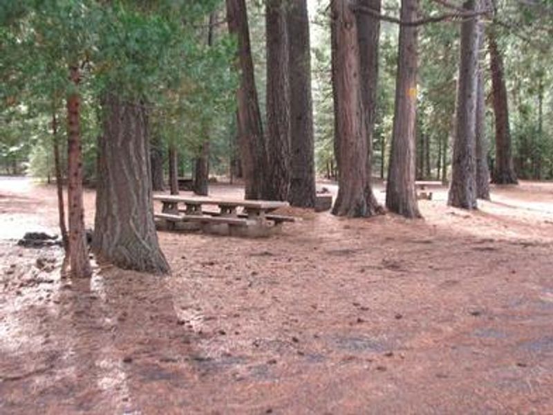
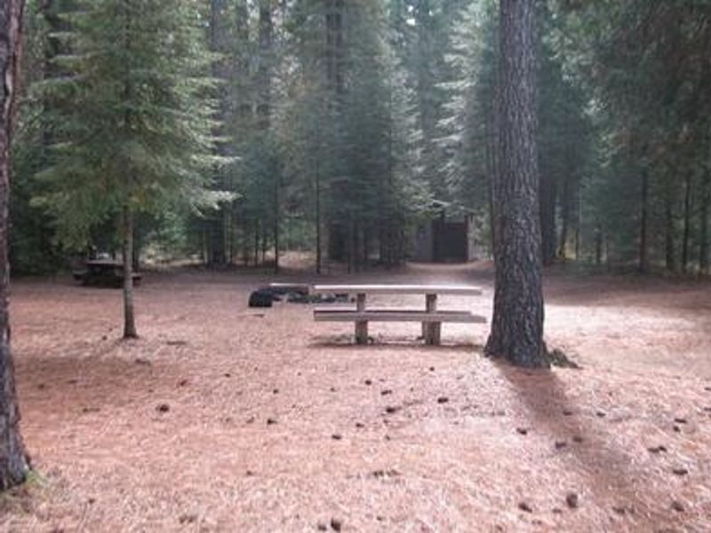
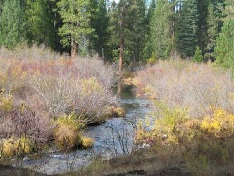
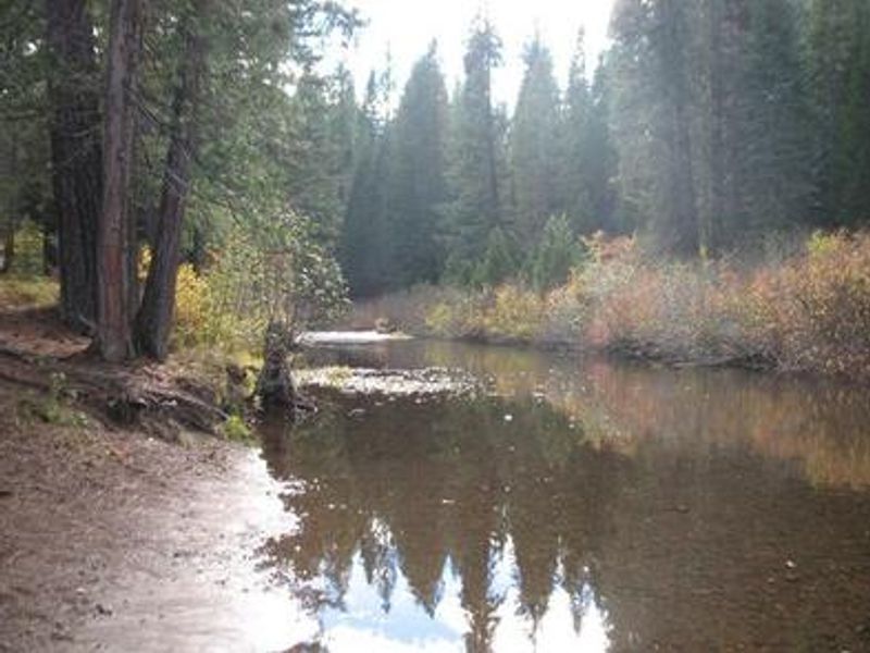
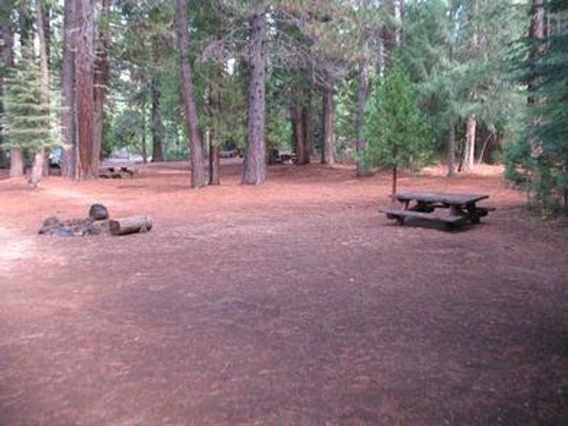
Camp 4 Group Campground is a single-site group campground located on the Upper McCloud River within Shasta-Trinity National Forest. The site accommodates groups of 12-30 people with space for up to 10 vehicles, including up to 10 tents and 5 RVs or motorhomes. At 3,600 feet elevation, the campground offers primitive accommodations with vault toilets, picnic tables, campfire rings, and trash collection. No potable water is available on-site; campers must obtain water from the McCloud Ranger Station 9 miles away. The Upper McCloud River is renowned for its three waterfalls: Upper, Middle, and Lower Falls. The McCloud River Falls Trail provides hiking access to all three cascades with views of Mt. Shasta. Middle and Lower Falls feature popular swimming holes. The river offers fishing for rainbow, brook, and McCloud River redband trout. A 15-mile non-motorized trail is available for hiking and mountain biking. The nearest services are in McCloud, a historic mill town approximately 9 miles from the campground. The final quarter-mile of access road is gravel. Horses and pack animals are not permitted in the campground. Firewood should be purchased locally to prevent spread of invasive species.
Directions
From Redding or Mt. Shasta, take I-5 to the McCloud/Hwy 89 exit. Head south on Hwy 89 past McCloud toward Reno/Lassen Park for approximately 20 miles. Turn right onto River Loop Road (Fowlers/Lower Falls exit). Travel about 0.5 miles and turn left toward Middle and Upper Falls (Forest Service Road 40N44). Continue through the stop sign and travel 1.5 miles until you see the Camp 4 sign on your right. Turn and continue 0.5 miles on gravel road to the campground.
Amenities
| Water | No |
| Fires Allowed | Yes |
| Toilets | Yes |
| Dump Station | No |
| Wifi | No |
| Pets Allowed | Yes |
| Showers | No |
| Electric Hookups | — |
| Water Hookups | — |
| Sewer Hookups | — |
| Camp Store | No |
| Price | $30 |
Vehicle
| Max RV Length | — |
| Max Trailer Length | 30ft |
| Big Rig Friendly | No |
| Pull Through Sites | No |
Contact
| Phone | +1 (530) 964-2184 |
Cell Service
| AT&T | None |
| Verizon | Yes |
| T-Mobile | None |
Availability
Photos

Community Posts
No posts yet. Be the first to share your experience!