USA 250 Shirt →
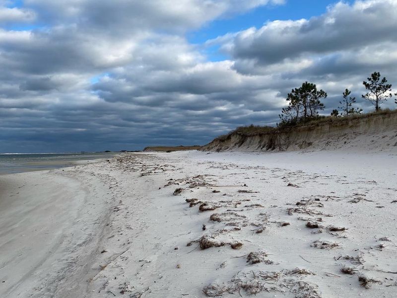
View Westward Along Langdon Beach

Fort Pickens Campground

Open

Open year-round. Reservations available through Recreation.gov up to six months in advance. Maximum stay is 14 consecutive nights. A separate Gulf Islands National Seashore entrance fee is required.

Tropical Storm Warning issued July 21 at 3:58PM CDT by NWS Mobile AL

3:58 PM — July 22nd, 12:00 AM

* LOCATIONS AFFECTED - Pensacola - Pensacola Beach - Perdido Bay * WIND - LATEST LOCAL FORECAST: Below tropical storm force wind - Peak Wind Forecast: 20-30 mph with gusts to 40 mph - THREAT TO LIFE AND PROPERTY THAT INCLUDES TYPICAL FORECAST UNCERTAINTY IN TRACK, SIZE AND INTENSITY: Potential for wind 39 to 57 mph - The wind threat has remained nearly steady from the previous assessment. - PLAN: Plan for hazardous wind of equivalent tropical storm force. - PREPARE: Efforts to protect property should now be underway. Prepare for limited wind damage. - ACT: Act now to complete preparations before the wind becomes hazardous. - POTENTIAL IMPACTS: Limited - Damage to porches, awnings, carports, sheds, and unanchored mobile homes. Unsecured lightweight objects blown about. - Many large tree limbs broken off. A few trees snapped or uprooted, but with greater numbers in places where trees are shallow rooted. Some fences and roadway signs blown over. - A few roads impassable from debris, particularly within urban or heavily wooded places. Hazardous driving conditions on bridges and other elevated roadways. - Scattered power and communications outages. * STORM SURGE - LATEST LOCAL FORECAST: Localized storm surge possible - Peak Storm Surge Inundation: The potential for up to 2 feet above ground somewhere within surge prone areas - Window of concern: Wednesday morning until Thursday morning - THREAT TO LIFE AND PROPERTY THAT INCLUDES TYPICAL FORECAST UNCERTAINTY IN TRACK, SIZE AND INTENSITY: Potential for storm surge flooding greater than 1 foot above ground - The storm surge threat has remained nearly steady from the previous assessment. - PLAN: Plan for storm surge flooding greater than 1 foot above ground. - PREPARE: Complete preparations for storm surge flooding, especially in low-lying vulnerable areas, before conditions become unsafe. - ACT: Leave immediately if evacuation orders are given for your area. - POTENTIAL IMPACTS: Limited - Localized inundation with storm surge flooding mainly along immediate shorelines and in low-lying spots, or in areas farther inland near where higher surge waters move ashore. - Sections of near-shore roads and parking lots become overspread with surge water. Driving conditions dangerous in places where surge water covers the road. - Moderate beach erosion. Heavy surf also breaching dunes, mainly in usually vulnerable locations. Strong rip currents. - Minor to locally moderate damage to marinas, docks, boardwalks, and piers. A few small craft broken away from moorings. * FLOODING RAIN - LATEST LOCAL FORECAST: - Peak Rainfall Amounts: Additional around 1 inch - THREAT TO LIFE AND PROPERTY THAT INCLUDES TYPICAL FORECAST UNCERTAINTY IN TRACK, SIZE AND INTENSITY: Potential for localized flooding rain - The flooding rain threat has remained nearly steady from the previous assessment. - PLAN: Emergency plans should include the potential for localized flooding from heavy rain. - PREPARE: Consider protective actions if you are in an area vulnerable to flooding. - ACT: Heed any flood watches and warnings. - POTENTIAL IMPACTS: Limited - Localized rainfall flooding may prompt a few evacuations. - Rivers and tributaries may quickly rise with swifter currents. Small streams, creeks, canals, and ditches may become swollen and overflow in spots. - Flood waters can enter a few structures, especially in usually vulnerable spots. A few places where rapid ponding of water occurs at underpasses, low-lying spots, and poor drainage areas. Several storm drains and retention ponds become near-full and begin to overflow. Some brief road and bridge closures. * TORNADO - LATEST LOCAL FORECAST: - Situation is unfavorable for tornadoes - THREAT TO LIFE AND PROPERTY THAT INCLUDES TYPICAL FORECAST UNCERTAINTY IN TRACK, SIZE AND INTENSITY: Tornadoes not expected - The tornado threat has remained nearly steady from the previous assessment. - PLAN: Tornadoes are not expected. Showers and thunderstorms with gusty winds may still occur. - PREPARE: Little to no preparations needed to protect against tornadoes at this time. Keep informed of the latest tornado situation. - ACT: Listen for changes in the forecast. - POTENTIAL IMPACTS: Little to None - Little to no potential impacts from tornadoes. * FOR MORE INFORMATION: - For evacuation and shelter information, please refer to: - Escambia County EMA: 850-471-6400 or myescambia.com/beready - For storm surge threat graphics and other storm impacts: - NWS Mobile: www.weather.gov/mob

High Surf Warning issued July 21 at 4:12PM CDT until July 23 at 6:00AM CDT by NWS Mobile AL

4:12 PM — July 22nd, 12:00 AM

* WHAT...For the High Surf Warning, dangerously large breaking waves of 8 to 11 feet in the surf zone. For the Coastal Flood Advisory, minor coastal flooding. For the High Rip Current Risk, dangerous rip currents. * WHERE...Escambia Coastal County. * WHEN...For the High Surf Warning, until 6 AM CDT Thursday. For the Coastal Flood Advisory, until 10 AM CDT Thursday. For the High Rip Current Risk, through late Thursday night. * IMPACTS...Flooding of lots, parks, and roads with only isolated road closures expected. Breaking waves can sweep people off jetties and docks, and into dangerous seas. Life- threatening swimming conditions and significant beach erosion can be expected. Rip currents can sweep even the best swimmers away from shore into deeper water.

Rip Current Statement issued July 21 at 4:12PM CDT until July 24 at 6:00AM CDT by NWS Mobile AL

4:12 PM — July 22nd, 12:00 AM

* WHAT...For the High Surf Warning, dangerously large breaking waves of 8 to 11 feet in the surf zone. For the Coastal Flood Advisory, minor coastal flooding. For the High Rip Current Risk, dangerous rip currents. * WHERE...Escambia Coastal County. * WHEN...For the High Surf Warning, until 6 AM CDT Thursday. For the Coastal Flood Advisory, until 10 AM CDT Thursday. For the High Rip Current Risk, through late Thursday night. * IMPACTS...Flooding of lots, parks, and roads with only isolated road closures expected. Breaking waves can sweep people off jetties and docks, and into dangerous seas. Life- threatening swimming conditions and significant beach erosion can be expected. Rip currents can sweep even the best swimmers away from shore into deeper water.

About

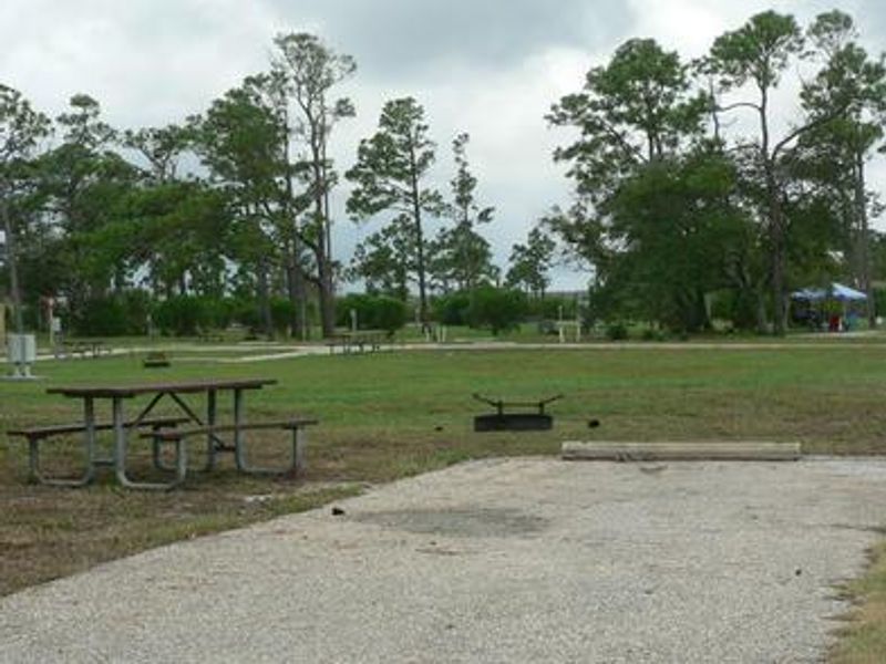
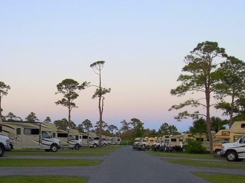
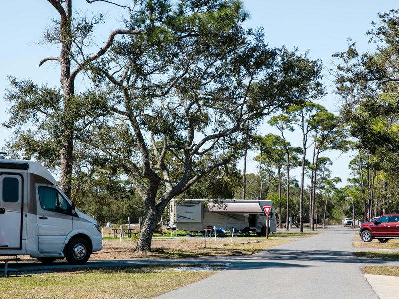
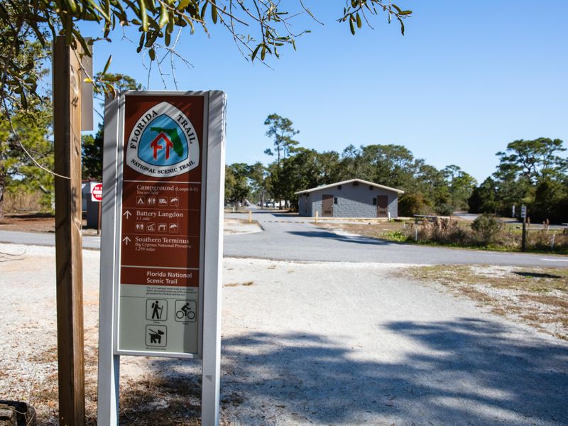
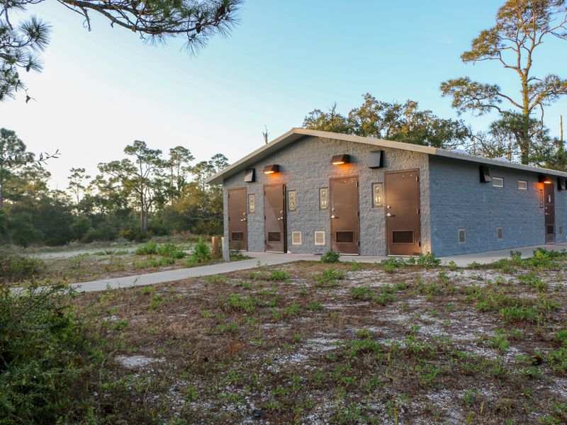
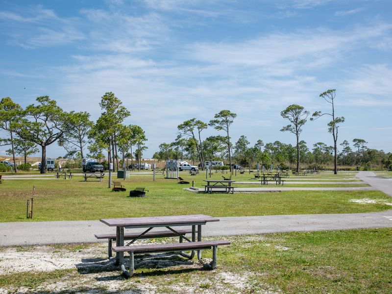
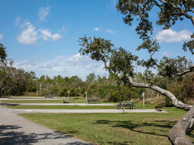
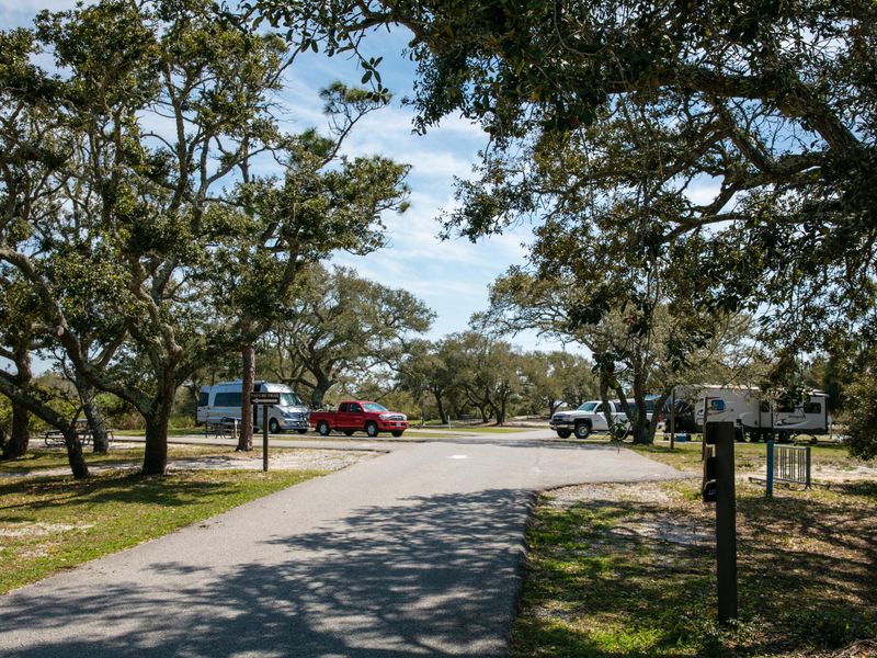
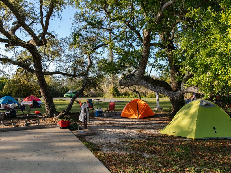
Fort Pickens Campground ranks among the top ten busiest campgrounds in the National Park System, drawing visitors year-round to Santa Rosa Island's emerald coast waters and white sand beaches. Located within Gulf Islands National Seashore, the campground provides 137 family sites with 20/30/50 amp electric and water hookups, 40 non-electric tent sites, and one group site. Every site includes a paved parking pad, fire pit, and picnic table. Heated showers and flush toilets serve all loops. The barrier island setting places campers between the Gulf of Mexico and Pensacola Bay. Groves of live oak trees provide shade and shelter migrating bird populations. Swimming, snorkeling, and fishing are accessible directly from the beach or from a nearby pier that does not require a Florida fishing license. Historic Fort Pickens, a pentagonal masonry fort constructed in 1834 and one of four Southern forts never captured by Confederates during the Civil War, lies one mile from the campground. All reservations are handled through Recreation.gov up to six months in advance. A separate entrance fee for Gulf Islands National Seashore is required. The campground enforces a strict 14-consecutive-night limit. Many sites have overhead clearance and length restrictions from trees and vegetation, so campers should verify equipment dimensions before booking.

Directions

From I-10 West: Take Exit 12 for I-110 South toward Pensacola Beach. Exit 1B onto Gregory Street East, merge onto FL-30 East Chase Street. Turn left onto Bayfront Parkway/US-98 East. Merge onto FL-399 toward beaches and cross the toll bridge. Turn right onto Fort Pickens Road and continue approximately 7 miles past the park entrance station to the campground.

Amenities

Water Yes
Fires Allowed Yes
Toilets Yes
Dump Station Yes
Wifi
Pets Allowed Yes
Showers Yes
Electric Hookups Yes
Water Hookups Yes
Sewer Hookups No
Camp Store
Price $26 - $40

Vehicle

Max RV Length 40ft
Max Trailer Length 40ft
Big Rig Friendly No
Pull Through Sites No

Contact

Phone +1 (850) 934-2622

Cell Service

AT&T Yes
Verizon Yes
T-Mobile Yes

Availability

Photos

View Westward Along Langdon Beach
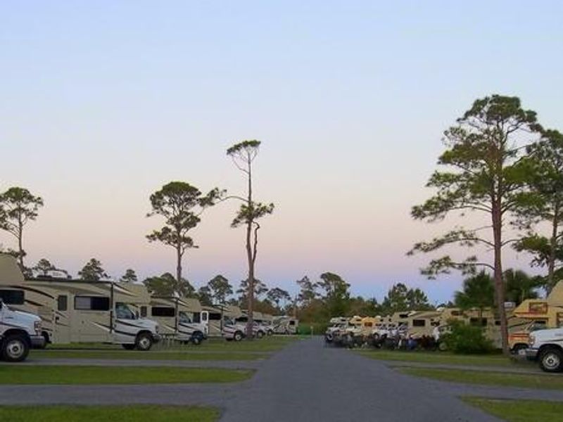
Campground
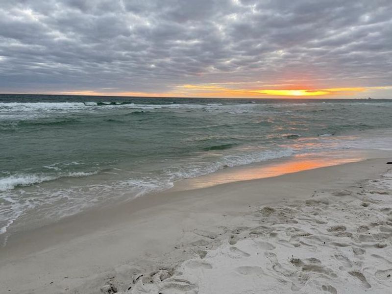
Sunset over the Gulf of Mexico
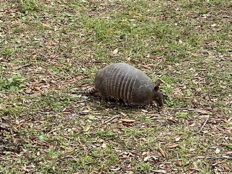
Just one of the many indigenous species you might run across during your visit to Fort Pickens Campground

Community Posts

No posts yet. Be the first to share your experience!