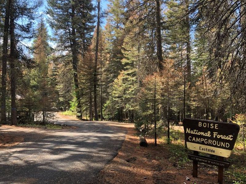
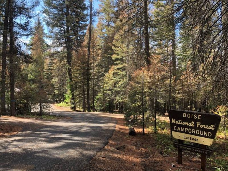
Eastside
Closed for the season. The campground operates from mid-May through the end of September.
Air Quality Alert issued July 20 at 2:33PM MDT by NWS Boise ID
* WHAT...Air Quality Advisory because of degraded air quality due to wildfire smoke. Air Quality Index is forecast to be Unhealthy. * WHERE...Ada, Canyon, Gem, Payette, and Washington Counties. * WHEN...UNTIL 3 PM MDT WEDNESDAY. * IMPACTS...Everyone may begin to experience health effects; members of sensitive groups may experience more serious health effects.
Air Quality Alert issued July 20 at 2:06PM MDT by NWS Boise ID
* WHAT...Air Quality Advisory because of degraded air quality due to wildfire smoke. Air Quality Index is forecast to be Unhealthy. * WHERE...Ada, Canyon, Gem, Payette, and Washington Counties. * WHEN...UNTIL 3 PM MDT WEDNESDAY. * IMPACTS...Everyone may begin to experience health effects; members of sensitive groups may experience more serious health effects.
Air Quality Alert issued July 20 at 8:21AM MDT by NWS Boise ID
* WHAT...Air Quality Advisory because of degraded air quality. Air Quality Index is forecast to be Unhealthy. * WHERE...Ada, Canyon, Gem, Payette, and Washington Counties. * WHEN...UNTIL 3 PM MDT WEDNESDAY. * IMPACTS...Everyone may begin to experience health effects; members of sensitive groups may experience more serious health effects.
About
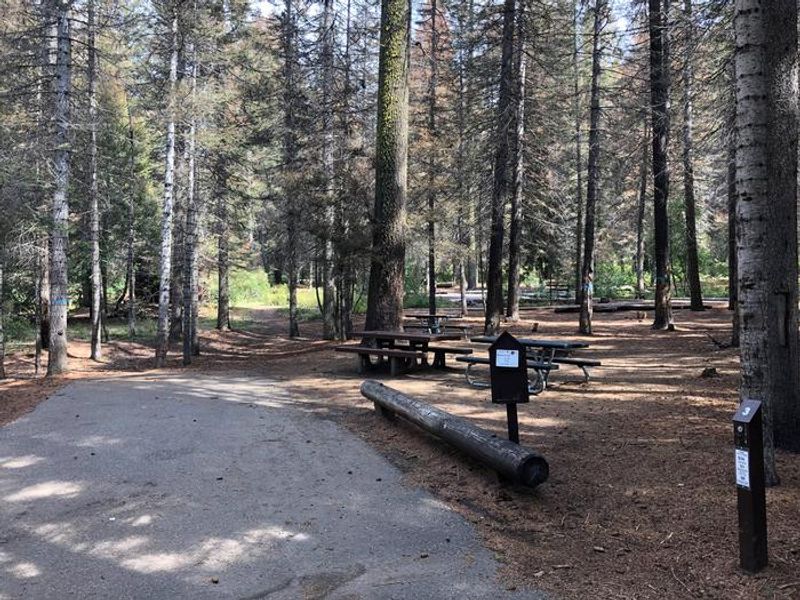
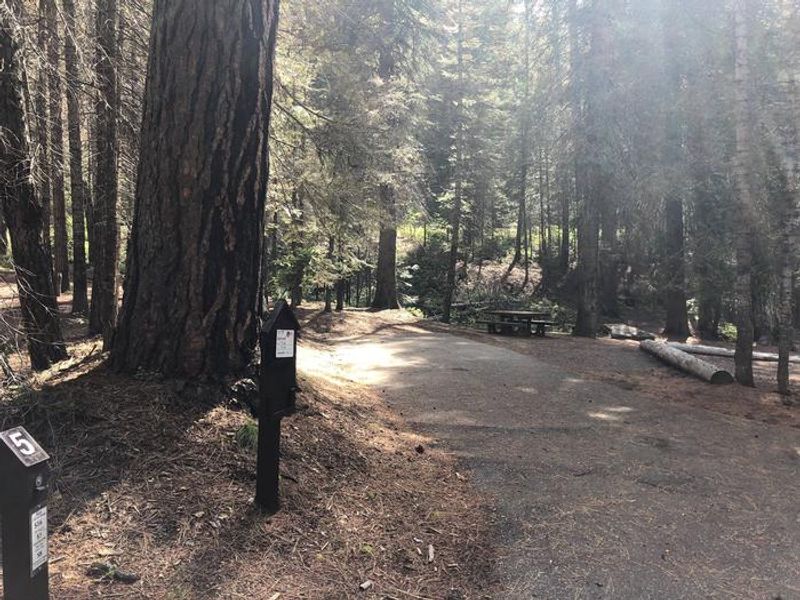
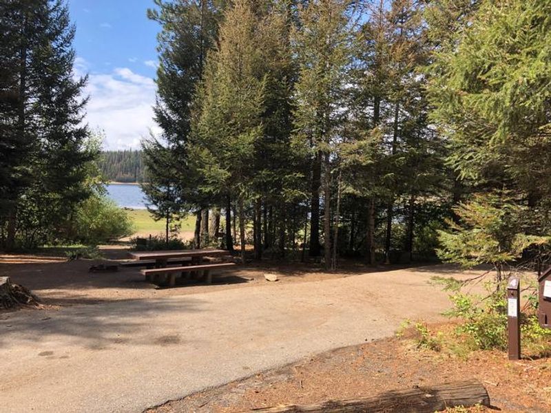
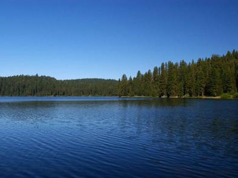
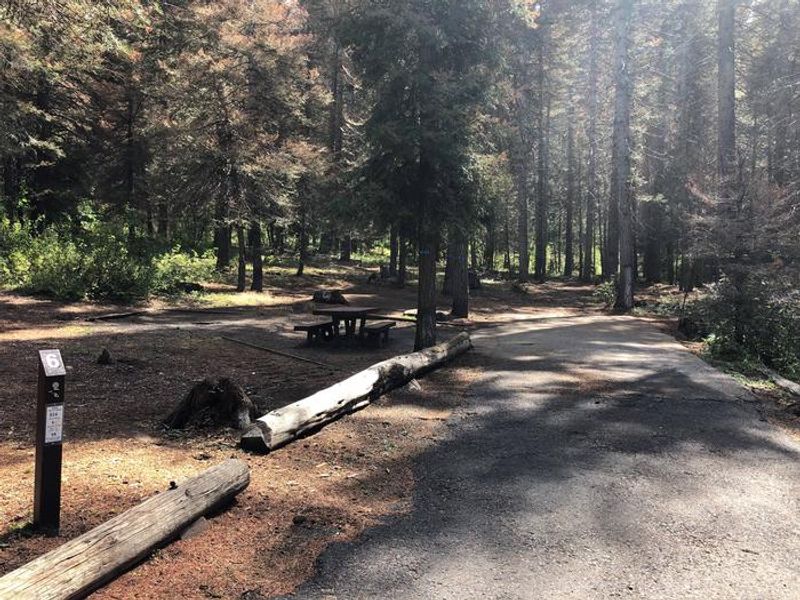
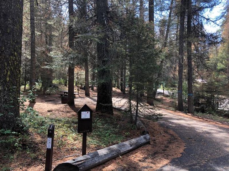
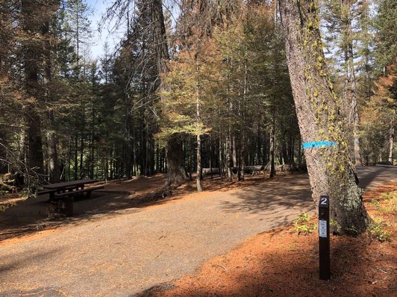
Eastside Campground is a group campground situated on the eastern shores of scenic Sagehen Reservoir in the Boise National Forest at an elevation of 4,800 feet. The campground features several single sites and one reservable group site that can accommodate up to 50 people and 10 vehicles. Most campsites are nestled in a forest of towering Ponderosa pine, Engelmann spruce, Douglas fir, and grand fir, with plentiful shade and partial lake views. Picnic tables and campfire rings are provided at each site. Sagehen Reservoir offers excellent opportunities for boating, canoeing, and rainbow trout fishing, with a boat ramp and dock located within the campground. The reservoir enforces a 15 mph speed limit. The non-motorized Sagehen Reservoir Trail, a 4-mile loop around the lake, provides great fishing spots, beautiful viewpoints, and wildlife watching opportunities for hikers, mountain bikers, and horseback riders. The Sagehen and KYAOTT ATV Trail Systems can be accessed near the reservoir, offering more than 35 miles of trails. Summer temperatures range from 80 to 90 degrees during the day to crisp, cool nights. The area is home to a variety of berries and mushrooms, and local wildlife includes deer, elk, black bear, goshawk, woodpeckers, and boreal owls. The campground is located near several other campgrounds that surround Sagehen Reservoir, including Sagehen Creek, Cartwright Ridge, Antelope, and Hollywood campgrounds.
Directions
From Boise, travel north on Highway 55 to Horseshoe Bend (approximately 30 miles). At Horseshoe Bend, turn west on Highway 52 for 9 miles to the junction with the Sweet/Ola Highway. Turn north and travel 16 miles to Ola. From Ola, continue 10 miles northeast on FS Road 618, then 7 miles on FS Road 626. Travel approximately 2 miles northeast on FS Road 614 to arrive at Sagehen Reservoir. Eastside Campground is on the east side of the reservoir.
Amenities
| Water | No |
| Fires Allowed | Yes |
| Toilets | Yes |
| Dump Station | No |
| Wifi | No |
| Pets Allowed | Yes |
| Showers | No |
| Electric Hookups | — |
| Water Hookups | — |
| Sewer Hookups | — |
| Camp Store | No |
| Price | $130 |
Vehicle
| Max RV Length | 30ft |
| Max Trailer Length | 30ft |
| Big Rig Friendly | No |
| Pull Through Sites | No |
Contact
| Phone | +1 (541) 351-1182 |
Cell Service
| AT&T | None |
| Verizon | None |
| T-Mobile | None |
Availability
Photos

Community Posts
No posts yet. Be the first to share your experience!