Cold Springs Campground
Closed for the season. The campground typically operates mid-May through the end of September. Reservations available through Recreation.gov.
Weed Free Hay Order 04-2021-03
Prohibited by this order: Possessing, storing, or transporting non-pelletized hay, straw, or mulch in the Intermountain Region, unless it is certified as weed free by the state where the product originated.
Fireworks and Spark Arrestor Order 04-2021-01
Prohibited by this order: Possessing, discharging, or using any kind of firework or other pyrotechnic device. 36 CFR §261.52(t)Operating or using any internal or external combustion engine without a spark arresting device properly installed, maintained and in effective working order as described…
Explosives and Exploding Target Order 04-2021-02
This order prohibits the use of explosives and exploding targets on National Forest System lands within the Intermountain Region.
About
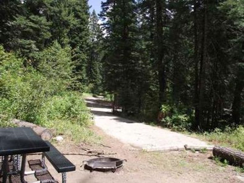
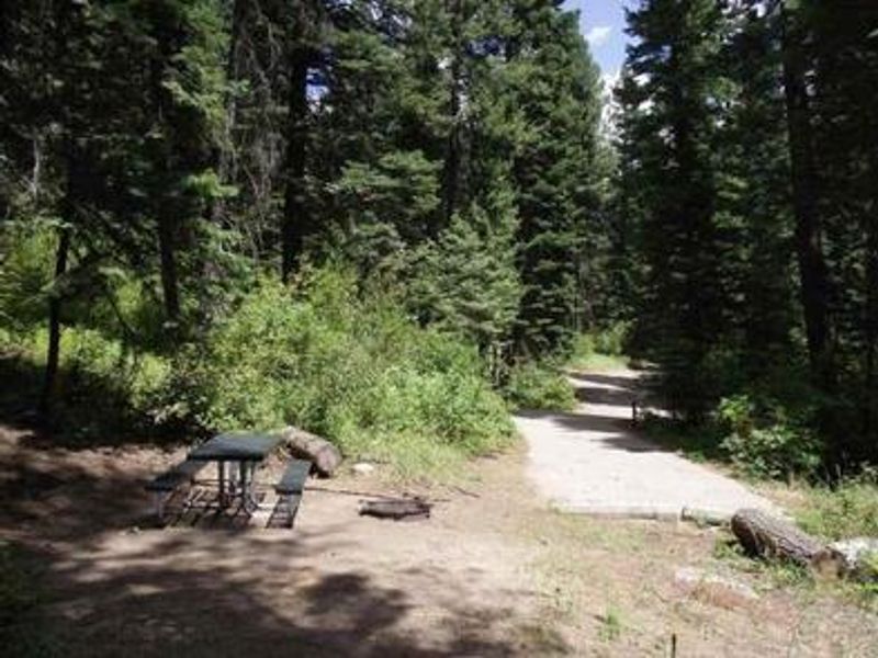
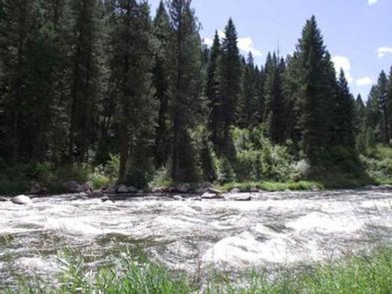
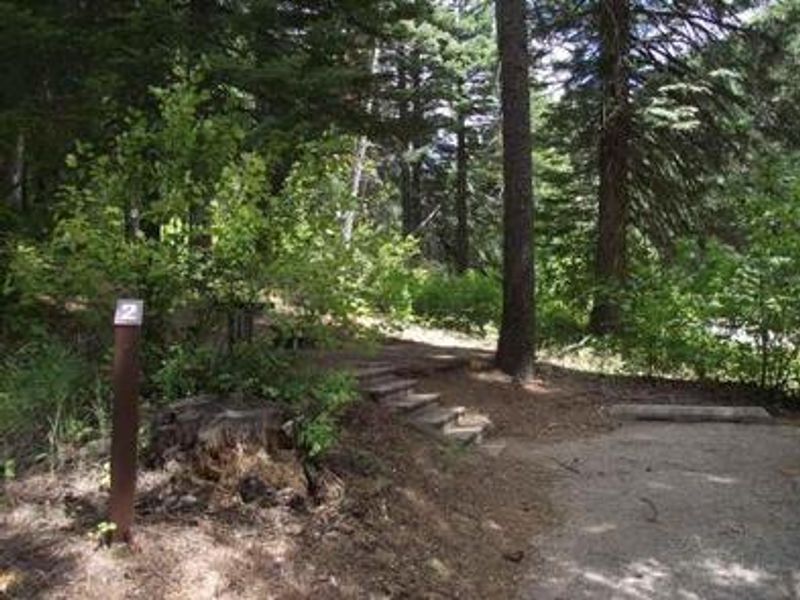
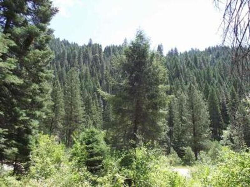
Cold Springs Campground is one of four campgrounds along Idaho's State Highway 55, nestled in a scenic canyon next to the North Fork Payette River. At 3,878 feet elevation, the campground is forested with a mix of ponderosa and lodgepole pines providing ample shade. Summer days are warm, reaching 80-90 degrees, with cooler nights. This group-only facility features 5 sites that can accommodate 1-50 people, making it ideal for family reunions, scout troops, or other group gatherings. Each site includes a picnic table and campfire ring. Vault toilets and potable water are provided on-site. The North Fork Payette River is a premier destination for expert kayaking, with whitewater rafting available on the Main and South Fork sections. Anglers will find good to excellent fishing for whitefish and rainbow trout. Due to proximity to Highway 55, some traffic noise is expected.
Directions
Located 41.5 miles north of Boise, Idaho. Take State Highway 55 north to Banks (35 miles), then proceed north on Highway 55 for 6.5 miles to the campground on the west side of the highway.
Amenities
| Water | Yes |
| Fires Allowed | Yes |
| Toilets | Yes |
| Dump Station | No |
| Wifi | No |
| Pets Allowed | — |
| Showers | No |
| Electric Hookups | — |
| Water Hookups | — |
| Sewer Hookups | — |
| Camp Store | No |
| Price | $120 |
Vehicle
| Max RV Length | — |
| Max Trailer Length | — |
| Big Rig Friendly | — |
| Pull Through Sites | No |
Contact
| Phone | +1 (541) 351-1182 |
Cell Service
| AT&T | None |
| Verizon | None |
| T-Mobile | Yes |
Availability
Photos


Community Posts
No posts yet. Be the first to share your experience!