Dewayne Hayes Day Use
This is a day-use only facility with no overnight camping. The area is open sunrise to sunset, typically from early May through the end of November. Two group shelters are available for reservation.
Heat Advisory issued July 22 at 3:19AM CDT until July 22 at 7:00PM CDT by NWS Jackson MS
* WHAT...Heat index values up to 109 expected. * WHERE...Portions of southeast Arkansas and central, east central, north central, northeast, northwest, and southeast Mississippi. * WHEN...From 10 AM this morning to 7 PM CDT this evening. * IMPACTS...Hot temperatures and high humidity may cause heat illnesses.
About
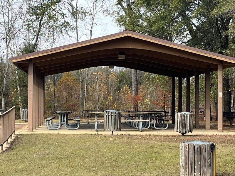
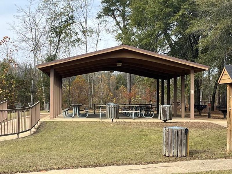
DeWayne Hayes Day Use is a day-use recreation area located on Columbus Lake along the Tennessee-Tombigbee Waterway in Lowndes County, Mississippi. Named in 1986 for Pfc. Loyd DeWayne Hayes of the 145th Engineering Battalion of the Alabama National Guard, this facility sits near the adjacent DeWayne Hayes Campground. The area features two group shelters available for reservation, each equipped with water, electricity, and picnic tables, making them ideal for family gatherings and group events. A nature trail meanders through the day use area, passing through stands of oak, sweet gum, pine, and other native tree species. The site runs along part of the old riverbed where shoreline fishing is popular. Wildlife viewing is excellent, with Bald Eagles, Pelicans, and migratory birds frequently seen overhead. The Tennessee-Tombigbee Waterway offers additional recreational opportunities including boating and swimming from designated areas.
Directions
From Columbus, Mississippi, take U.S. Highway 45 north to the junction with U.S. Highway 373/50 west. Turn left and continue for 1.5 miles to the junction with Stinson Creek Road. Travel 2 miles to Barton's Ferry Road and turn left. Proceed a half mile to the park entrance.
Nearby Campgrounds
Amenities
| Water | Yes |
| Fires Allowed | — |
| Toilets | — |
| Dump Station | — |
| Wifi | — |
| Pets Allowed | Yes |
| Showers | — |
| Electric Hookups | — |
| Water Hookups | — |
| Sewer Hookups | — |
| Camp Store | — |
| Price | $30 |
Vehicle
| Max RV Length | — |
| Max Trailer Length | — |
| Big Rig Friendly | — |
| Pull Through Sites | No |
Contact
| Phone | +1 (662) 245-5500 |
Cell Service
| AT&T | Yes |
| Verizon | Yes |
| T-Mobile | None |
Useful Links
| View on Recreation.gov |
Availability
Photos
Community Posts
No posts yet. Be the first to share your experience!