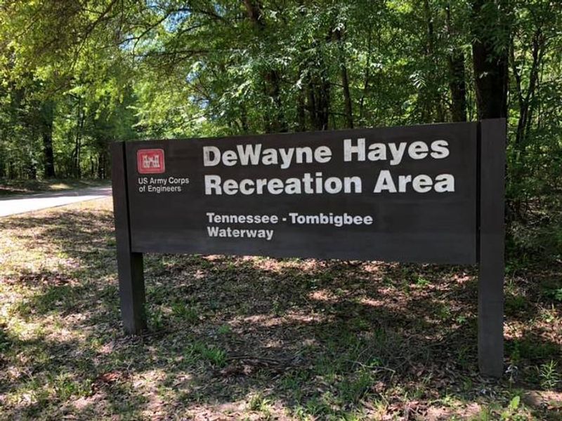
Dewayne Hayes
Open for reservations. All sites are 100% reservable through Recreation.gov and cannot be reserved at the campground gate. Check-in is at 4:00 PM, checkout at 3:00 PM. Maximum stay is 14 consecutive days with extension options up to 28 days.
Heat Advisory issued July 22 at 11:53AM CDT until July 22 at 7:00PM CDT by NWS Jackson MS
* WHAT...Heat index values in excess of 105 degrees expected. * WHERE...Portions of southeast Arkansas and central, east central, north central, northeast, northwest, and southeast Mississippi. * WHEN...Until 7 PM CDT this evening. * IMPACTS...Hot temperatures and high humidity may cause heat illnesses.
About
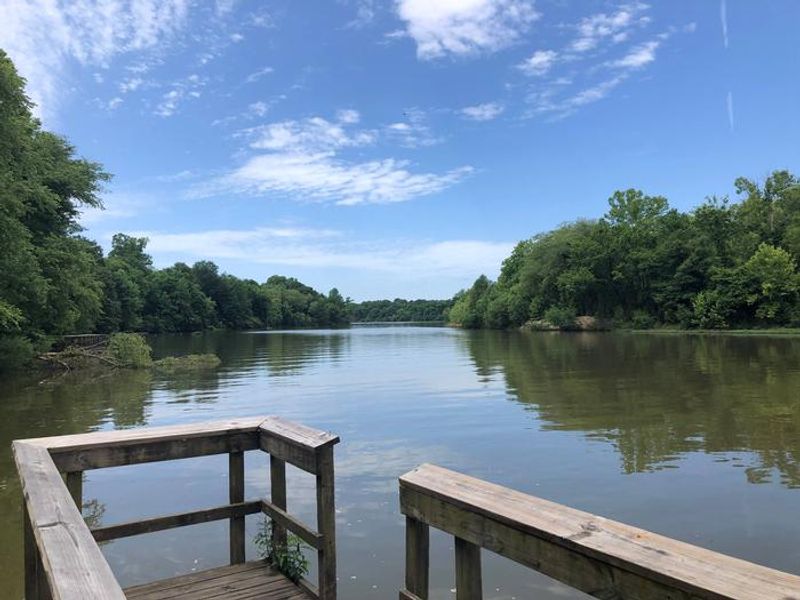
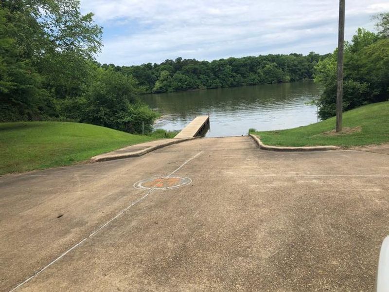
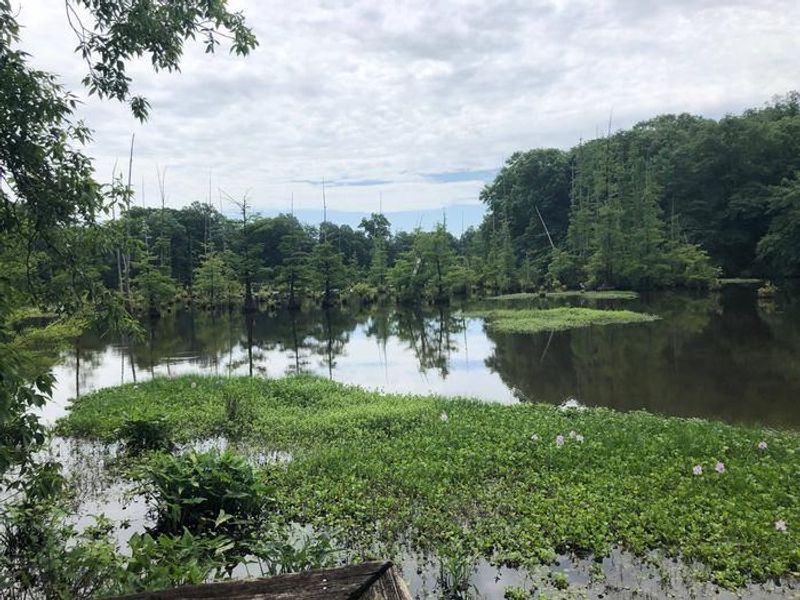
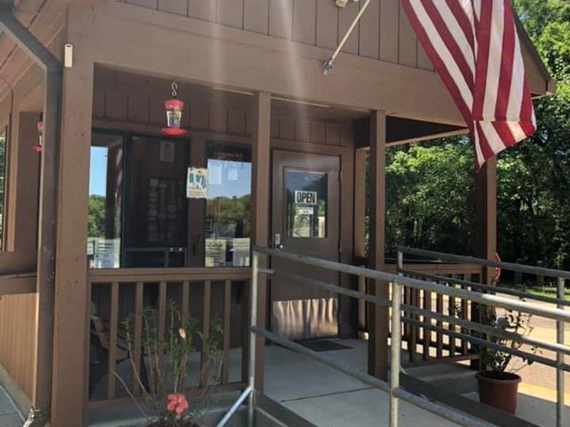
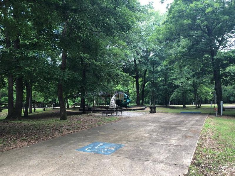
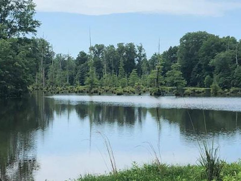
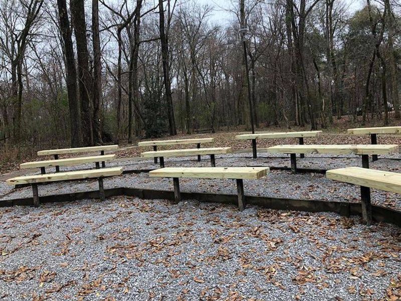
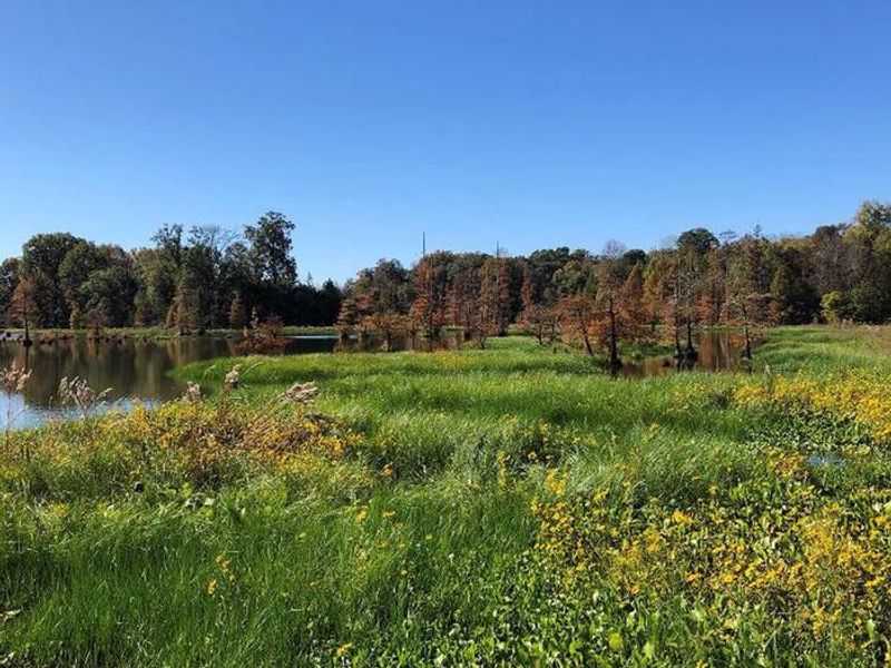
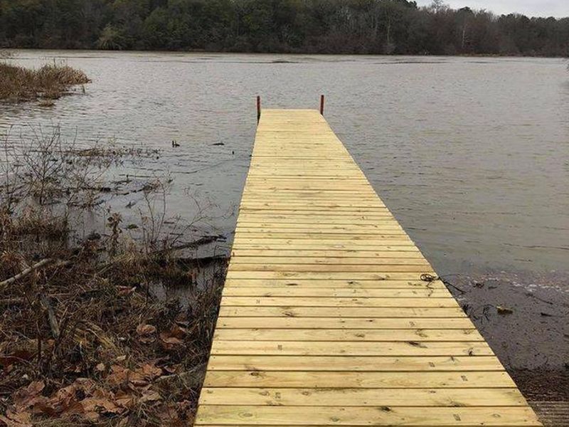
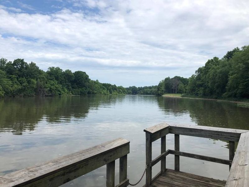
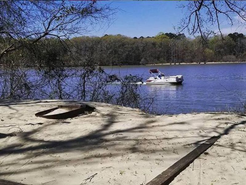
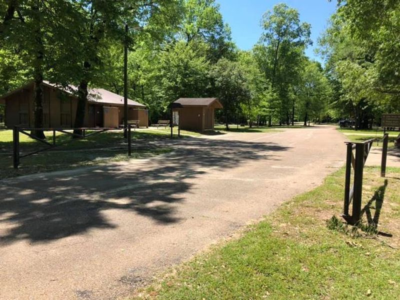
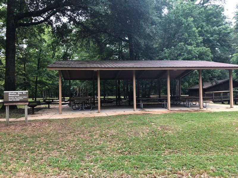
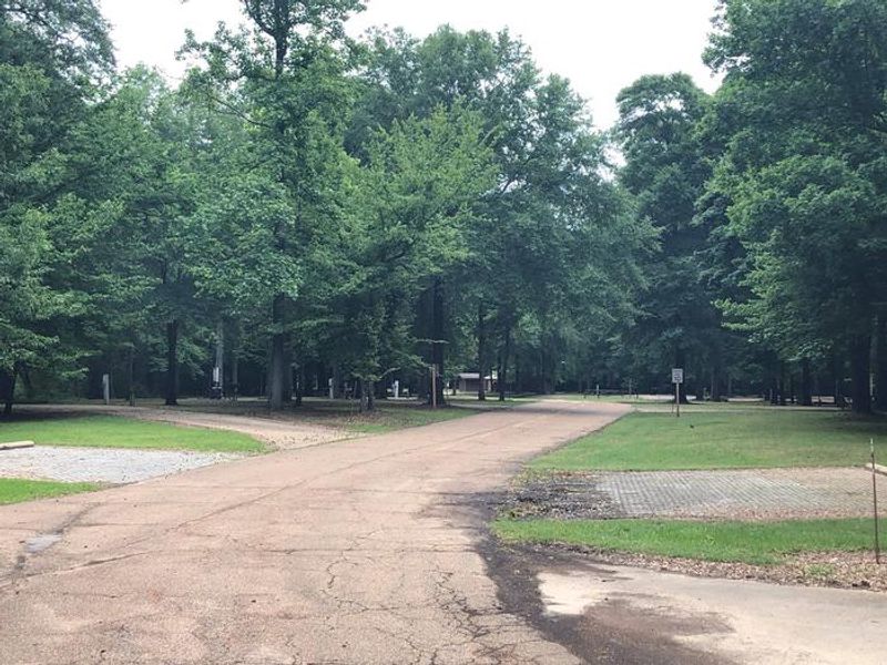
Dewayne Hayes Campground is located on Columbus Lake along the Tennessee-Tombigbee Waterway in Mississippi, managed by the U.S. Army Corps of Engineers. Named in 1986 for Pfc. Loyd DeWayne Hayes of the 145th Engineering Battalion of the Alabama National Guard, the campground provides convenient access to one of the nation's major commercial waterways. The facility features 110 campsites: 100 standard sites with 50-amp electric and water hookups accommodating RVs up to 60 feet, and 10 primitive tent-only walk-in sites. Sites are partially shaded and equipped with picnic tables, fire rings with grills, pedestal grills, and lantern posts. Visitors have access to hot showers, flush restrooms, laundry facilities, a dump station, and a fish cleaning station. Recreation opportunities abound with a boat ramp, playgrounds, hiking trails, multi-use athletic courts, and picnic areas. Anglers can fish from shore or by boat for bass, walleye, crappie, catfish, and sunfish. Columbus, Mississippi is nearby with antique stores, historic sites, and additional services.
Directions
From Columbus, Mississippi, take U.S. Highway 45 north to the junction with U.S. Highway 373/50 west. Turn left and continue for 1.5 miles to the junction with Stinson Creek Road. Travel 2 miles to Barton's Ferry Road and turn left. Proceed a half mile to the park entrance.
Nearby Campgrounds
Amenities
| Water | Yes |
| Fires Allowed | Yes |
| Toilets | Yes |
| Dump Station | Yes |
| Wifi | — |
| Pets Allowed | Yes |
| Showers | Yes |
| Electric Hookups | Yes |
| Water Hookups | Yes |
| Sewer Hookups | No |
| Camp Store | — |
| Price | $26 - $36 |
Vehicle
| Max RV Length | 120ft |
| Max Trailer Length | 120ft |
| Big Rig Friendly | Yes |
| Pull Through Sites | No |
Contact
| Phone | +1 (662) 434-6939 |
Cell Service
| AT&T | Yes |
| Verizon | Yes |
| T-Mobile | Yes |
Availability
Photos
Community Posts
No posts yet. Be the first to share your experience!