Deerlick Creek
Open for reservations. Gate hours are 7 a.m. to 10 p.m. with mandatory exit by 9:30 p.m. Check-in at 4:00 p.m., check-out at 3:00 p.m.
Heat Advisory issued July 21 at 11:18AM CDT until July 22 at 9:00PM CDT by NWS Birmingham AL
* WHAT...Heat index values up to 105 expected. * WHERE...Bibb, Fayette, Greene, Hale, Jefferson, Lamar, Pickens, Shelby, Sumter, Tuscaloosa, and Walker Counties. * WHEN...Until 9 PM CDT Wednesday. * IMPACTS...Hot temperatures and high humidity may cause heat illnesses.
About
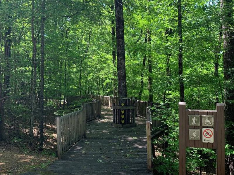
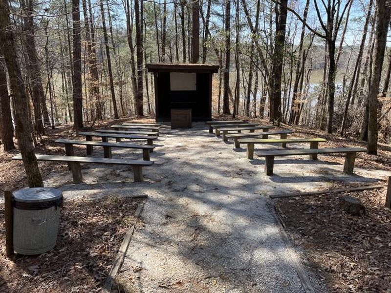
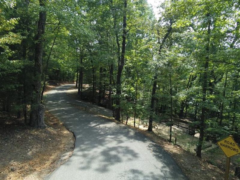
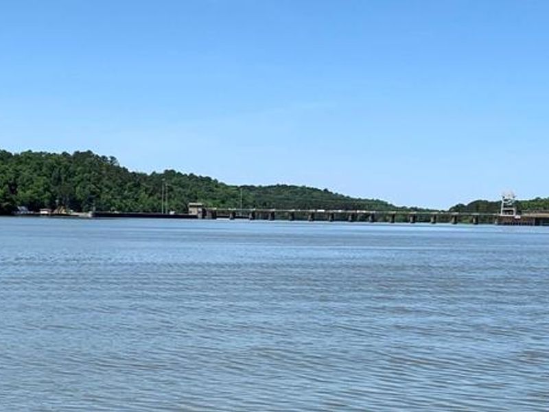
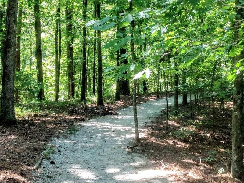
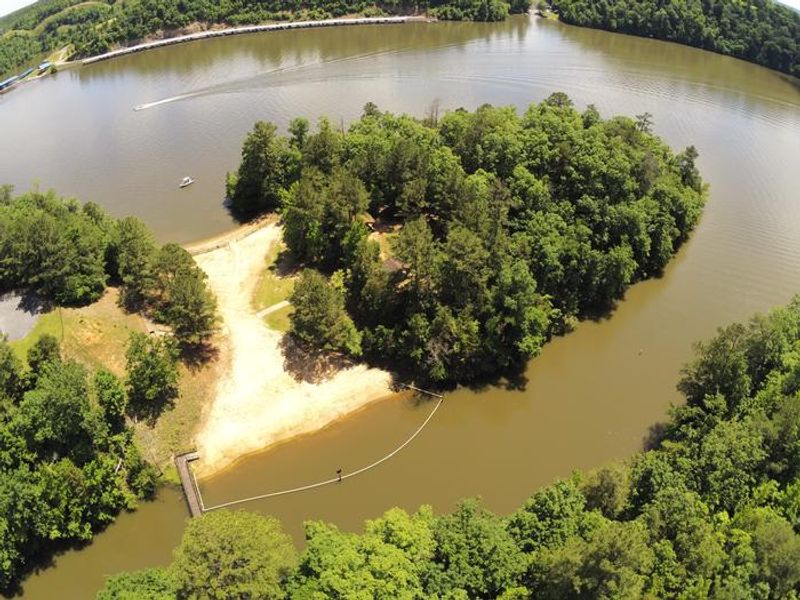
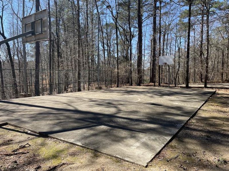
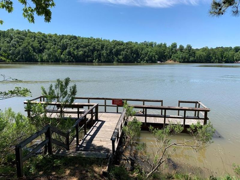
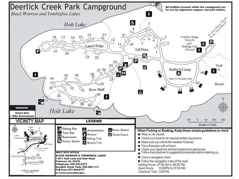
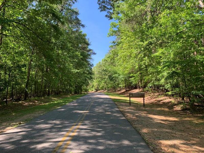
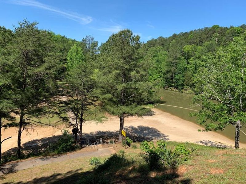
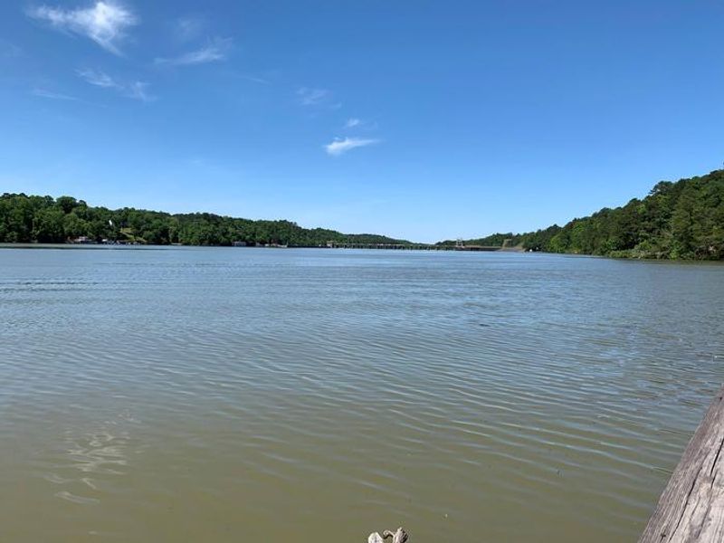
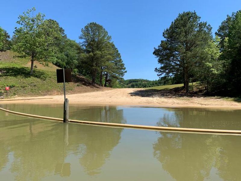
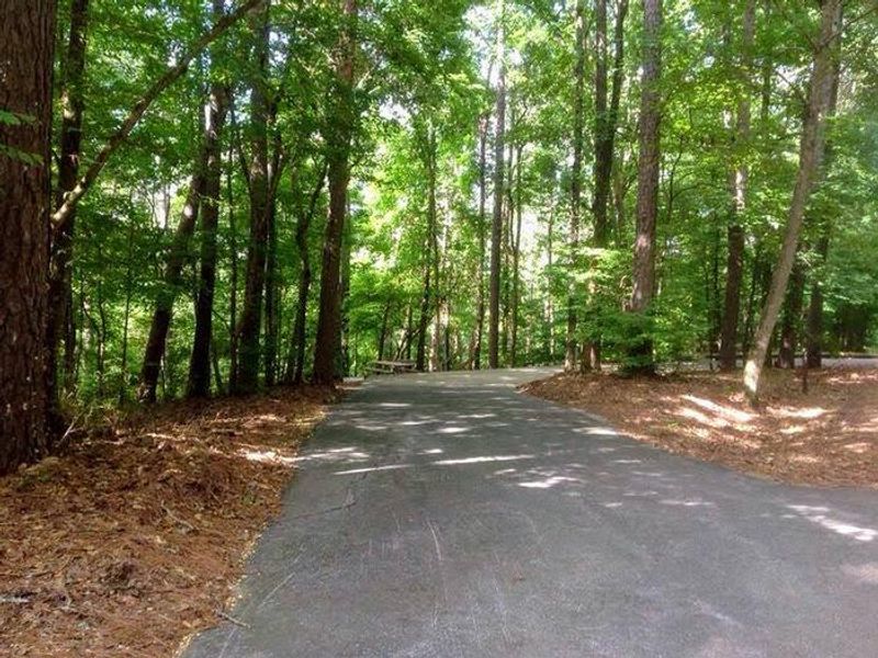
Deerlick Creek Campground occupies a forested peninsula on Holt Lake, part of the 457-mile Black Warrior-Tombigbee Waterway managed by the U.S. Army Corps of Engineers. The campground is divided into four loops: Tall Pines, Laurel Ridge, River Bluff, and Settler's Camp, each winding through mixed pine and hardwood forest along the lakeshore. The 46 campsites all have water and electric hookups with 50-amp service. Six sites are designated tent-only while the remainder accommodate RVs and trailers up to 41 feet depending on the site. Site surfaces are a mix of paved and gravel with both pull-through and back-in configurations available. Fire pits are permitted at campsites. Facilities include shower houses, a swimming beach, fishing pier, and multi-use sports court. Anglers target bass, crappie, bream, and catfish in the waterway. The campground also features hiking trails and a paved bicycle path for exploring the shoreline. The University of Alabama campus and Ol' Colony Golf Course are within a short drive for those seeking off-site activities.
Directions
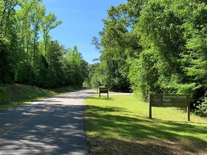
From I-59 in Alabama, take Exit 73 (MacFarland Boulevard). Go west on MacFarland Blvd./Highway 82 for approximately 4.2 miles. Veer right onto Rice Mine Road. At the stoplight turn left onto Rice Mine Rd. Then, turn right at the stoplight onto New Watermelon Road and follow it for 3.4 miles. Turn right at the stop sign onto Lake Nicol Road, and follow Lake Nicol Rd. for 3.4 miles to Deerlick Road. Turn right onto Deerlick Rd. for approximately 3.2 miles to Deerlick Park.
Amenities
| Water | Yes |
| Fires Allowed | Yes |
| Toilets | Yes |
| Dump Station | Yes |
| Wifi | — |
| Pets Allowed | Yes |
| Showers | Yes |
| Electric Hookups | Yes |
| Water Hookups | Yes |
| Sewer Hookups | No |
| Camp Store | — |
| Price | $20 - $30 |
Vehicle
| Max RV Length | 80ft |
| Max Trailer Length | 80ft |
| Big Rig Friendly | Yes |
| Pull Through Sites | No |
Contact
| Phone | +1 (205) 388-1111 |
Cell Service
| AT&T | Yes |
| Verizon | Yes |
| T-Mobile | None |
Availability
Photos


Community Posts
No posts yet. Be the first to share your experience!