Dairy Springs
Open for the season, operating from early May through mid-October. Sites #1-15 are reservable through Recreation.gov; sites #16-30 are first-come, first-served. 14-day stay limit applies.
Walker Hill area temporary closure for pile burns
The Walker Hill area near Bellemont will temporarily close due to ongoing pile burns from Oct. 11, 2026 to Nov. 11, 2026.
West Fork Temporary Area Closure - Extended
The purpose of this Order is to protect public health and safety during and following precipitation events and resulting rockfall and flood debris hazards within the West Fork watershed affected by the Pocket Fire.
O'Leary access restricted; NPS Road 545 closed between SR 89 and Sunset Crater
A section of Coconino National Forest land surrounding National Parks Service Road 545 is temporarily closed to the public. The access road to O'Leary Peak is not accessible for hiking or driving during the closure.
About
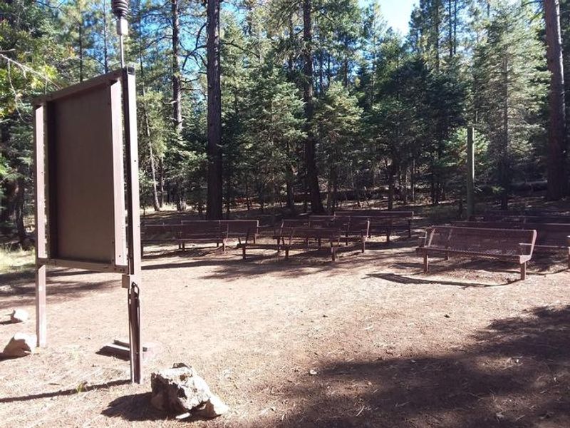
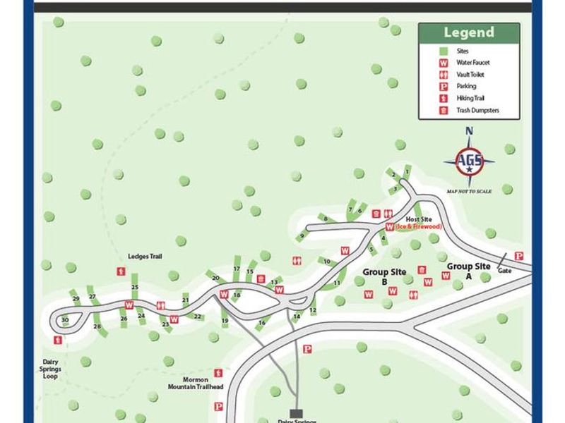
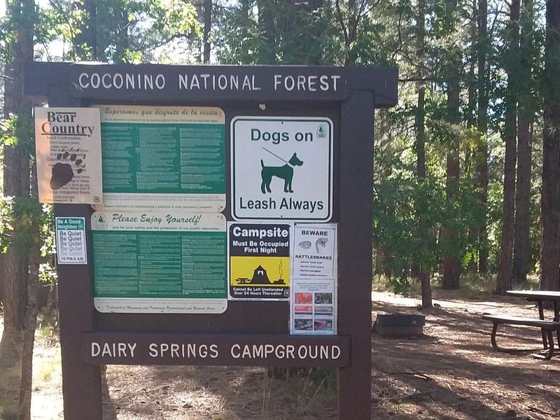
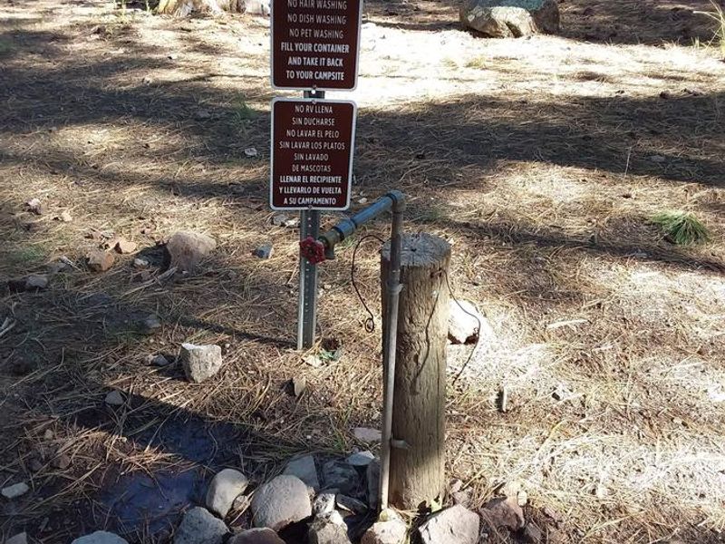
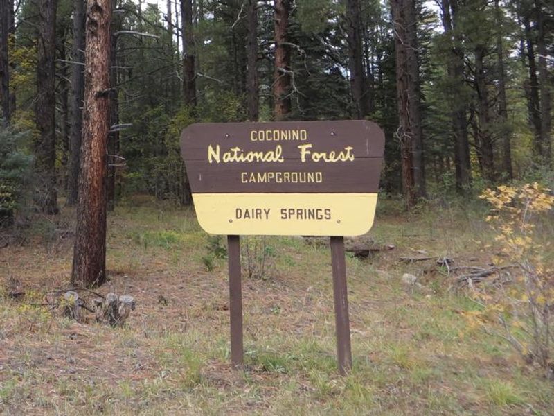
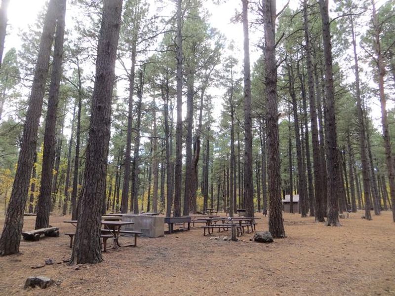
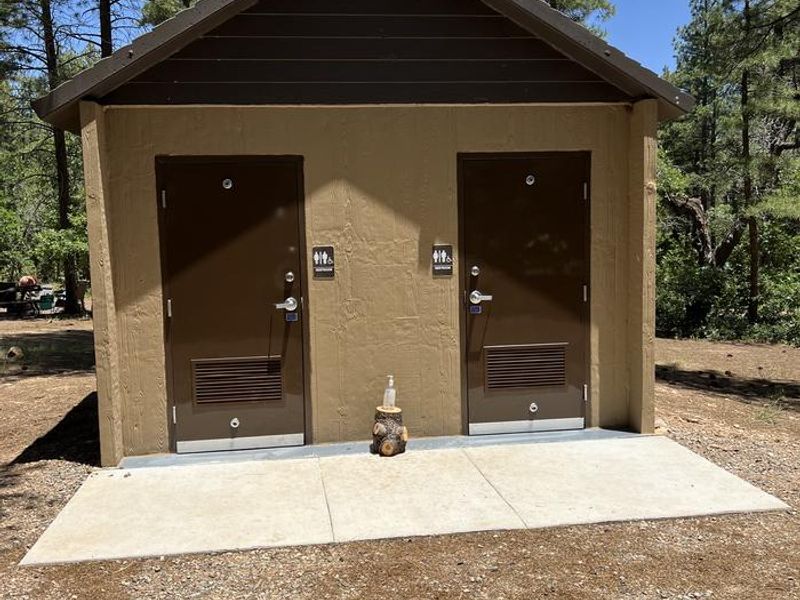
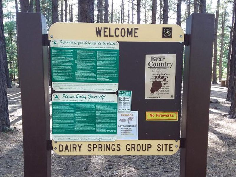
Dairy Springs Campground is tucked into a scenic Ponderosa pine and oak forest at 7,100 feet elevation in the Coconino National Forest, approximately 24 miles southeast of Flagstaff. The campground's main attraction is nearby Mormon Lake, a seasonal lake that draws visitors for fishing, windsurfing, and wildlife watching when water levels permit. The moderate-sized campground features 30 single-unit campsites with tables and cooking grills, plus two group sites that can each accommodate up to 40 people. Sites #1-15 are reservable through Recreation.gov, while sites #16-30 operate on a first-come, first-served basis. All sites accommodate tents and small motor homes up to 35 feet. Vault restrooms and potable water are available throughout the campground. Three hiking trails originate at Dairy Springs, leading to scenic overlooks of Mormon Lake and the surrounding prairies, forests, and volcanic landscape. The area is known for excellent wildlife viewing, including elk, mule deer, northern harriers, and ospreys. The nearby village of Mormon Lake offers horseback rides, mountain bike rentals, a country store, and dining options.
Directions
From Flagstaff, Arizona, go southeast on Lake Mary Road/Forest Road 3 for 21 miles. Turn right (west) on Forest Road 90 at the north end of Mormon Lake. Proceed 4 miles to Dairy Springs Campground.
Amenities
| Water | Yes |
| Fires Allowed | Yes |
| Toilets | Yes |
| Dump Station | — |
| Wifi | No |
| Pets Allowed | Yes |
| Showers | No |
| Electric Hookups | — |
| Water Hookups | — |
| Sewer Hookups | — |
| Camp Store | No |
| Price | $30 - $135 |
Vehicle
| Max RV Length | 40ft |
| Max Trailer Length | 40ft |
| Big Rig Friendly | No |
| Pull Through Sites | No |
Contact
| Phone | +1 (928) 774-9671 |
Cell Service
| AT&T | None |
| Verizon | Yes |
| T-Mobile | Yes |
Availability
Photos
Community Posts
No posts yet. Be the first to share your experience!