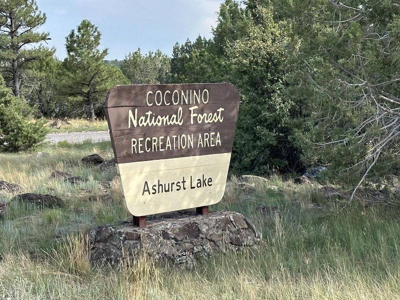
Ashurst Lake
Open for camping. Stage 1 fire restrictions are in effect. Season runs early May to mid-October. 14 sites are reservable via Recreation.gov; 11 sites are first-come-first-served. Check-in 2 p.m., check-out 11 a.m.
West Fork Temporary Area Closure - Extended
The purpose of this Order is to protect public health and safety during and following precipitation events and resulting rockfall and flood debris hazards within the West Fork watershed affected by the Pocket Fire.
O'Leary access restricted; NPS Road 545 closed between SR 89 and Sunset Crater
A section of Coconino National Forest land surrounding National Parks Service Road 545 is temporarily closed to the public. The access road to O'Leary Peak is not accessible for hiking or driving during the closure.
West Sedona Camping and Campfire Restrictions
Year-round camping and campfire restrictions are in effect for the area west of Sedona except within designated camping areas.
About
Ashurst Lake Campground occupies a scenic position along the shore of Ashurst Lake in Coconino National Forest, roughly 20 miles southeast of Flagstaff at 7,132 feet elevation. The 25 campsites are scattered through a picturesque stand of gnarly old juniper trees and pinyon pines, offering a classic high-desert forest camping experience with lake access. The lake supports fishing and board sailing, with motorized boats limited to a single electric motor or gasoline engine of 10 horsepower or less. Birdwatching peaks during spring waterfowl migration when white-faced ibises, cinnamon teal, pintails, bald eagles, osprey, hawks, and songbirds frequent the area. The San Francisco Peaks provide a dramatic volcanic backdrop on the horizon. Graveled roads surrounding the lake offer easy access for passenger vehicles and bicycles, while rustic two-track roads invite mountain biking and hiking into the surrounding mixed juniper-ponderosa forest for wildlife viewing.
Directions
From Flagstaff, drive south 19 miles on Lake Mary Road, then east approximately 4 miles on Forest Road 82E.
Amenities
| Water | Yes |
| Fires Allowed | Yes |
| Toilets | Yes |
| Dump Station | No |
| Wifi | — |
| Pets Allowed | Yes |
| Showers | No |
| Electric Hookups | — |
| Water Hookups | — |
| Sewer Hookups | — |
| Camp Store | — |
| Price | $27 |
Vehicle
| Max RV Length | 28ft |
| Max Trailer Length | 35ft |
| Big Rig Friendly | No |
| Pull Through Sites | No |
Contact
| Phone | +1 (928) 774-9671 |
Cell Service
| AT&T | None |
| Verizon | Yes |
| T-Mobile | Yes |
Useful Links
| View on Recreation.gov | |
| USFS Ashurst Lake Campground |
Availability
Photos
Community Posts
No posts yet. Be the first to share your experience!