Cave Spring
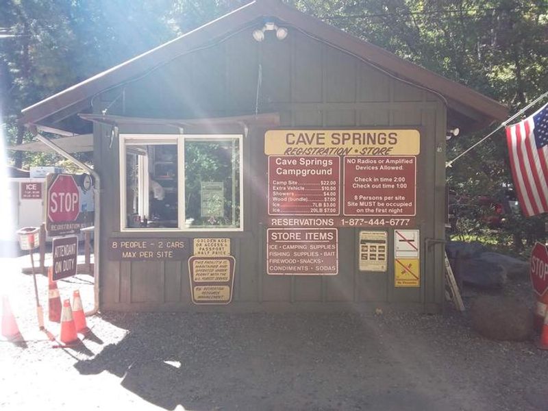
Open year-round. Reservations available through Recreation.gov; some sites available first-come, first-served. 7-day maximum stay limit. Campfires permitted in provided fire rings only.
Flood Watch issued October 9 at 12:59PM MST until October 12 at 5:00AM MST by NWS Flagstaff AZ
* WHAT...Flash flooding caused by excessive rainfall is possible. * WHERE...Yavapai, western Coconino, northern Gila, and far southern Navajo counties. * WHEN...From Saturday morning through late Sunday night. * IMPACTS...Flash flooding will be possible in creeks, normally dry washes, swimming holes, and over recently burned areas. Low-water crossings may be flooded. * ADDITIONAL DETAILS... - A upper-level trough will help pull moisture from the remnants of Tropical Storm Rachel up into western Arizona to produce showers and thunderstorms Saturday, followed by extended periods of rainfall through at least Sunday. Thunderstorms will have the potential to produce heavy rainfall that could lead to flash flooding, while extended periods of rain can lead to elevated streams, rivers, and flow through washes. Greatest risk of heavy rainfall looks be along higher terrain due to upsloping. - Additional information is available at weather.gov/flagstaff.
Wind Advisory issued October 9 at 12:58PM MST until October 11 at 8:00PM MST by NWS Flagstaff AZ
* WHAT...South winds 25 to 35 mph with gusts up to 50 mph expected. * WHERE...All of central and northern Arizona, including Apache, Navajo, Coconino, Yavapai and northern Gila counties. * WHEN...From 8 AM MST /9 AM MDT/ to 8 PM MST /9 PM MDT/ Sunday. * IMPACTS...Gusty winds will blow around unsecured objects. Tree limbs could snap resulting in a few power outages. Travel will be difficult, especially for high profile vehicles. * ADDITIONAL DETAILS...A strong upper-level trough along with the remnants of Tropical Storm Rachel will create a synoptic pattern supportive of strong gusts across northern Arizona, especially along the higher terrain.
Walker Hill area temporary closure for pile burns
The Walker Hill area near Bellemont will temporarily close due to ongoing pile burns from Oct. 11, 2026 to Nov. 11, 2026.
About
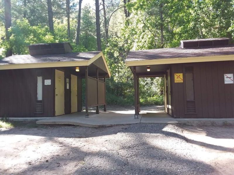
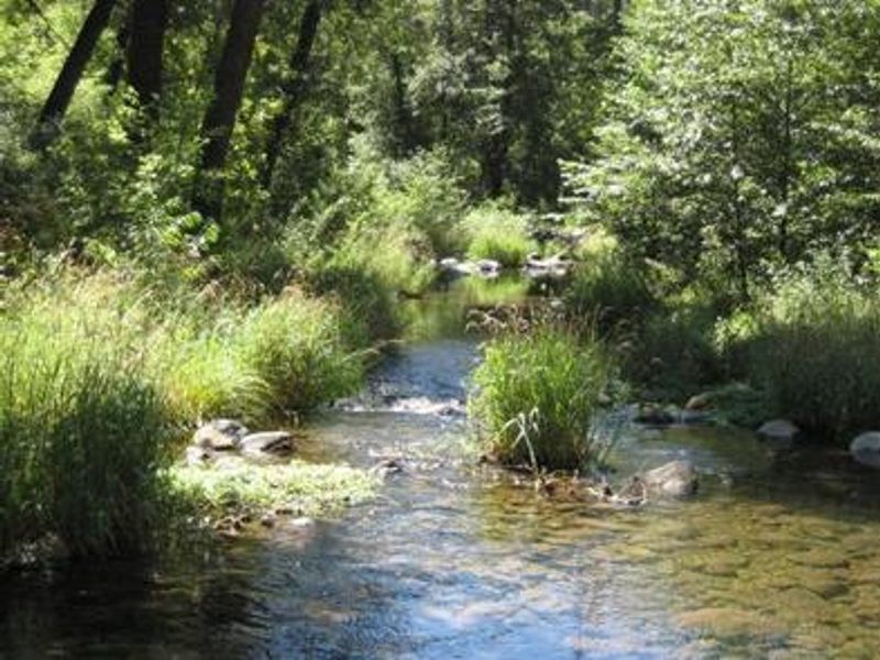
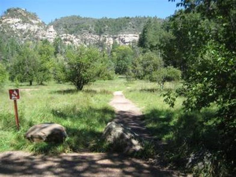
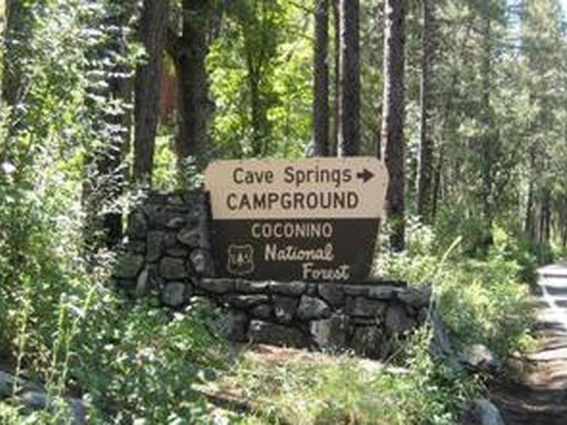
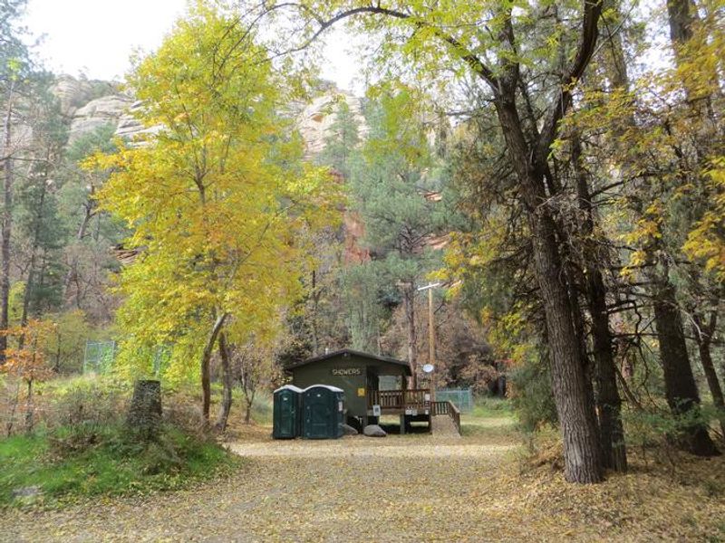
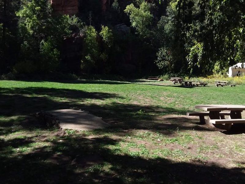
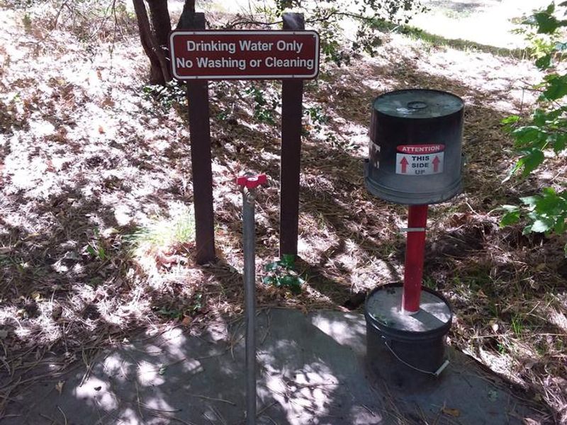
Cave Springs Campground occupies a prime location in Oak Creek Canyon, a lush riparian corridor between Flagstaff and Sedona in Arizona's Coconino National Forest. The 84 campsites are set among towering ponderosa pines, with many offering direct access to the clear, cool waters of Oak Creek. The campground is heavily wooded and provides welcome shade during hot summer months. Facilities include vault restrooms, coin-operated showers, and potable water. Every site has a picnic table, fire ring, and cooking grill. The campground accommodates RVs and trailers up to 36 feet but has no hookups. Oak Creek is stocked with rainbow trout, making this a popular destination for anglers. Several hiking trails climb the canyon slopes for scenic views, and Slide Rock State Park is a short drive away. Sedona's red rock vistas, resorts, and shopping are about 12 miles south. The area operates under year-round camping and campfire restrictions, but Cave Springs is exempt as a developed campground with permanent fire structures.
Directions
From Phoenix, take I-17 to Highway 179 north toward Sedona. Turn north on Highway 89A and continue for 11 miles into Oak Creek Canyon. From Flagstaff, take I-17 to Highway 89A south. Follow 89A for 18 miles to Oak Creek Canyon. The campground is 14 miles south of Flagstaff and 12 miles north of Sedona on Highway 89A.
Amenities
| Water | Yes |
| Fires Allowed | Yes |
| Toilets | Yes |
| Dump Station | — |
| Wifi | — |
| Pets Allowed | Yes |
| Showers | Yes |
| Electric Hookups | — |
| Water Hookups | — |
| Sewer Hookups | — |
| Camp Store | — |
| Price | $30 |
Vehicle
| Max RV Length | 36ft |
| Max Trailer Length | 36ft |
| Big Rig Friendly | No |
| Pull Through Sites | No |
Contact
| Phone | +1 (928) 203-0624 |
Cell Service
| AT&T | None |
| Verizon | Yes |
| T-Mobile | None |
Availability
Photos

Community Posts
No posts yet. Be the first to share your experience!