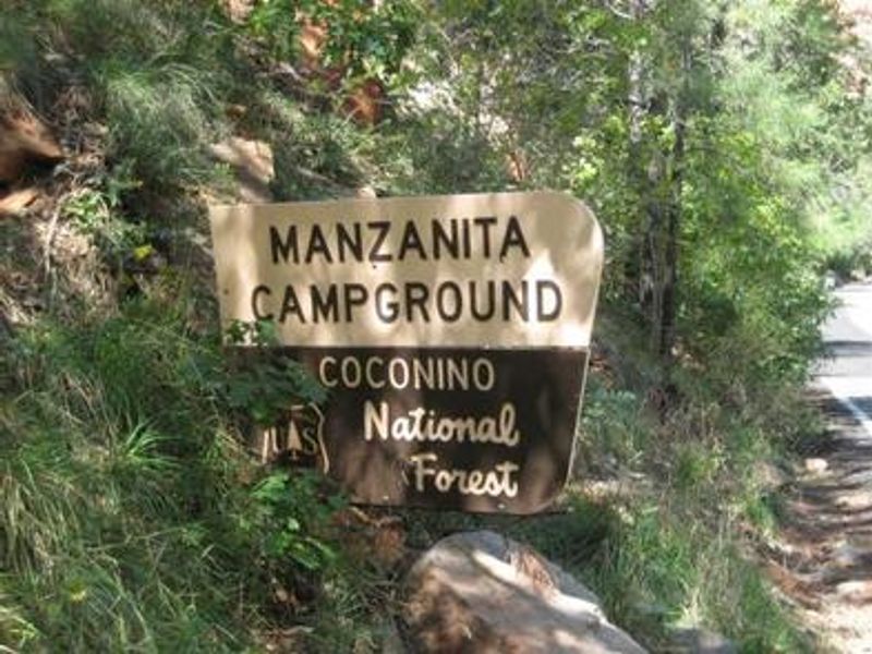
Manzanita.
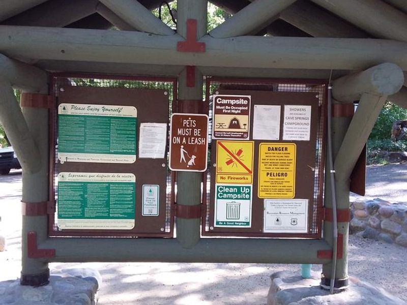
Open year-round. Reservations available through Recreation.gov. Stage 1 fire restrictions in effect but campfires are permitted in designated fire rings. 7-day maximum stay limit enforced.
West Fork Temporary Area Closure - Extended
The purpose of this Order is to protect public health and safety during and following precipitation events and resulting rockfall and flood debris hazards within the West Fork watershed affected by the Pocket Fire.
O'Leary access restricted; NPS Road 545 closed between SR 89 and Sunset Crater
A section of Coconino National Forest land surrounding National Parks Service Road 545 is temporarily closed to the public. The access road to O'Leary Peak is not accessible for hiking or driving during the closure.
West Sedona Camping and Campfire Restrictions
Year-round camping and campfire restrictions are in effect for the area west of Sedona except within designated camping areas.
About
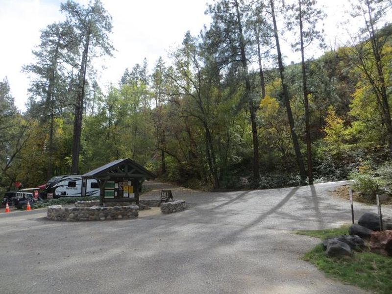
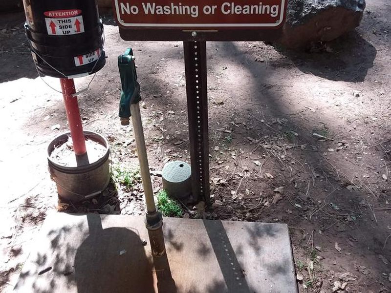
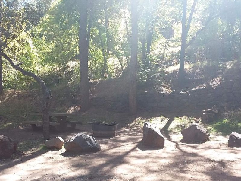
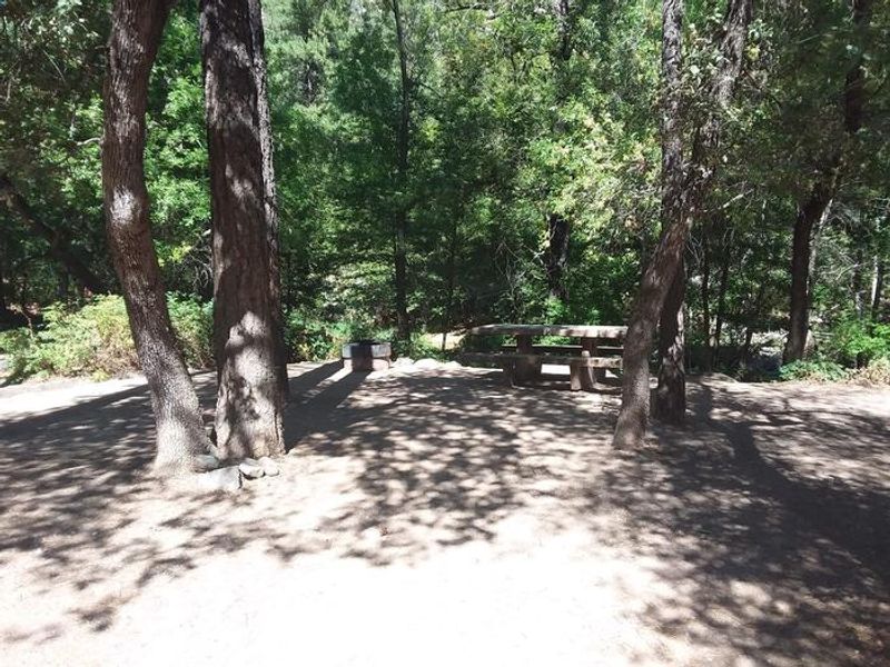
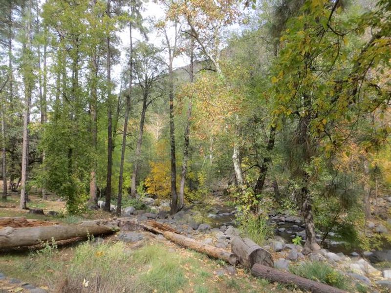
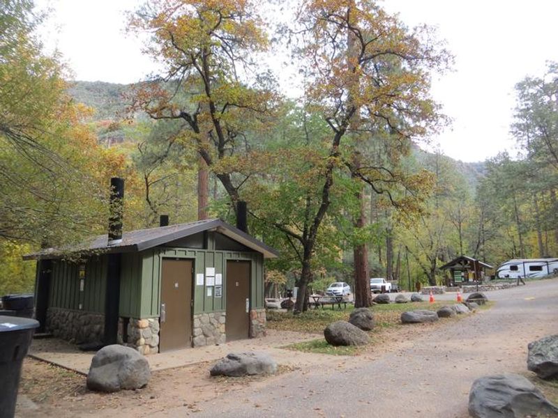
Manzanita Campground occupies a prime location along Oak Creek in the heart of Oak Creek Canyon, surrounded by a lush forested riparian zone at 4,800 feet elevation. The campground features 18 tent-only sites nestled among Arizona ash and box elder trees, with direct access to the creek's crystal-clear swimming holes and gravel beaches. Anglers appreciate the creekside positioning for casting for trout. The setting is heavily shaded with paved driveways and each site includes a picnic table, fire ring, and cooking grill. Vault toilets and potable water are available. Due to its popularity and small size, weekday reservations are strongly recommended as weekends book quickly. The campground enforces a 7-day stay limit and quiet hours from 10 p.m. to 6 a.m. Slide Rock State Park is just minutes away for swimming, and the area offers numerous hiking trails. The town of Sedona with its red rock vistas and shopping is a short drive south.
Directions
From Phoenix, take I-17 north to Exit 298 for Highway 179. Take 179 north to Sedona, turn right onto Highway 89A and travel 6 miles north to the campground. From Flagstaff, take I-17 south and exit for Highway 89A toward Sedona, then travel 23 miles south on 89A into Oak Creek Canyon. The campground is just south of Slide Rock State Park.
Amenities
| Water | Yes |
| Fires Allowed | Yes |
| Toilets | Yes |
| Dump Station | No |
| Wifi | No |
| Pets Allowed | Yes |
| Showers | No |
| Electric Hookups | — |
| Water Hookups | — |
| Sewer Hookups | — |
| Camp Store | No |
| Price | $30 |
Vehicle
| Max RV Length | — |
| Max Trailer Length | — |
| Big Rig Friendly | No |
| Pull Through Sites | No |
Contact
| Phone | +1 (928) 203-2900 |
Cell Service
| AT&T | None |
| Verizon | Yes |
| T-Mobile | None |
Availability
Photos
Community Posts
No posts yet. Be the first to share your experience!