Crabtree Cove
Open for the 2026 season through September 30. The campground operates April 16 through September 30 annually. Reservations available through Recreation.gov.
Heat Advisory issued July 21 at 7:02PM CDT until July 21 at 7:00PM CDT by NWS Springfield MO
Temperatures and less humid air mass will continue to move south across the area this evening behind a front that has moved south of the area.
About
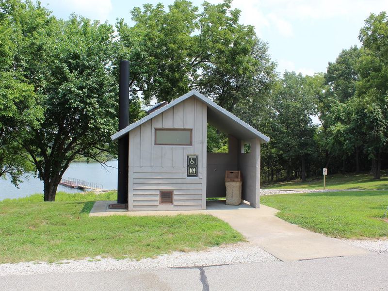
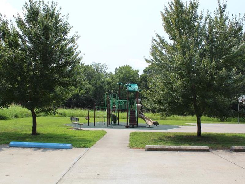
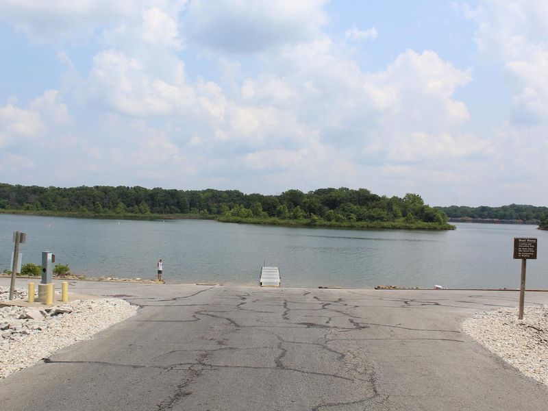
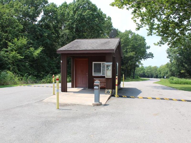
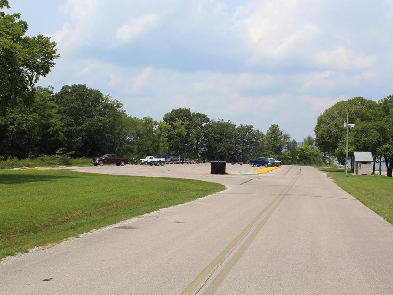
Crabtree Cove sits on the shores of Stockton Lake in the scenic Ozark Mountains of southwestern Missouri. The 58-site campground is divided into two loops: Loop A offers 41 sites with electric hookups suitable for RVs up to 50 feet, while Loop B provides 13 non-electric sites ideal for tent campers seeking a quieter experience away from generators and air conditioners. The campground features modern amenities including flush toilets, hot showers, and a dump station. A boat ramp provides direct access to Stockton Lake's 24,700 acres of water and nearly 300 miles of shoreline. A fishing dock and fish cleaning station serve anglers targeting the lake's populations of largemouth and smallmouth bass, crappie, white bass, walleye, and catfish. Sailboating is particularly popular, with several races held annually. The surrounding landscape features native prairie grasses, rolling hills, and forests that display brilliant fall colors. Wildlife includes wild turkey, great blue heron, deer, and bald eagles. The 15-mile Stockton Lake Equestrian Trail connects nearby campgrounds, and three full-service marinas around the lake offer boat rentals, fuel, tackle, and dining.
Directions
From Stockton, Missouri, take State Highway 32 east for 3.5 miles. Turn right onto the access road and follow signs into the park area.
Amenities
| Water | Yes |
| Fires Allowed | Yes |
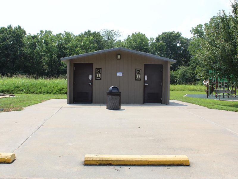
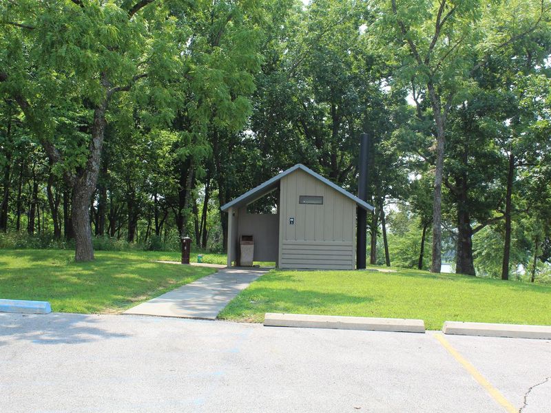
| Toilets | Yes |
| Dump Station | Yes |
| Wifi | No |
| Pets Allowed | Yes |
| Showers | Yes |
| Electric Hookups | Yes |
| Water Hookups | No |
| Sewer Hookups | No |
| Camp Store | No |
| Price | $16 - $18 |
Vehicle
| Max RV Length | 50ft |
| Max Trailer Length | 50ft |
| Big Rig Friendly | Yes |
| Pull Through Sites | No |
Contact
| Phone | +1 (417) 276-6799 |
Cell Service
| AT&T | Yes |
| Verizon | Yes |
| T-Mobile | Yes |
Availability
Photos


Community Posts
No posts yet. Be the first to share your experience!