Columbine Campground
Open for the 2026 season as of May 8. Water testing may still be in progress at some Carson National Forest sites; bring your own water supply as a precaution. The campground typically closes around late September.
Cannabis Possession Prohibited
Order 03-00-00-21-002 prohibits possessing, storing, or transporting a cannabis plant, any part of a cannabis plant, or any substance derived from a cannabis plant within the Southwestern Region National Forests in the State of New Mexico and the National Grasslands in the states of Texas and…
Offices Closed July 3
All Carson National Offices are closed on federal holidays, including in observance of Independence Day on July 3 and the Fourth of July weekend. Some services are available online:Firewood PermitsCampground ReservationsCurrent Fire Restrictions
Closed: Supervisor's Office (Taos) June 30 and July 1
The Supervisor's Office in Taos is closed to public services the week of June 29, 2026, due to unplanned staffing issues. We apologize for the inconvenience.Some services are available online:Firewood PermitsCampground ReservationsCurrent Fire Restrictions
About
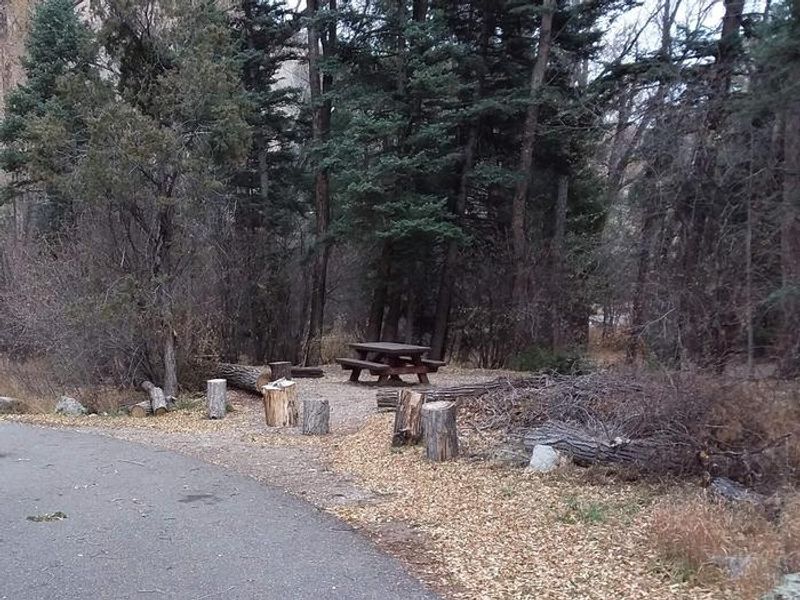
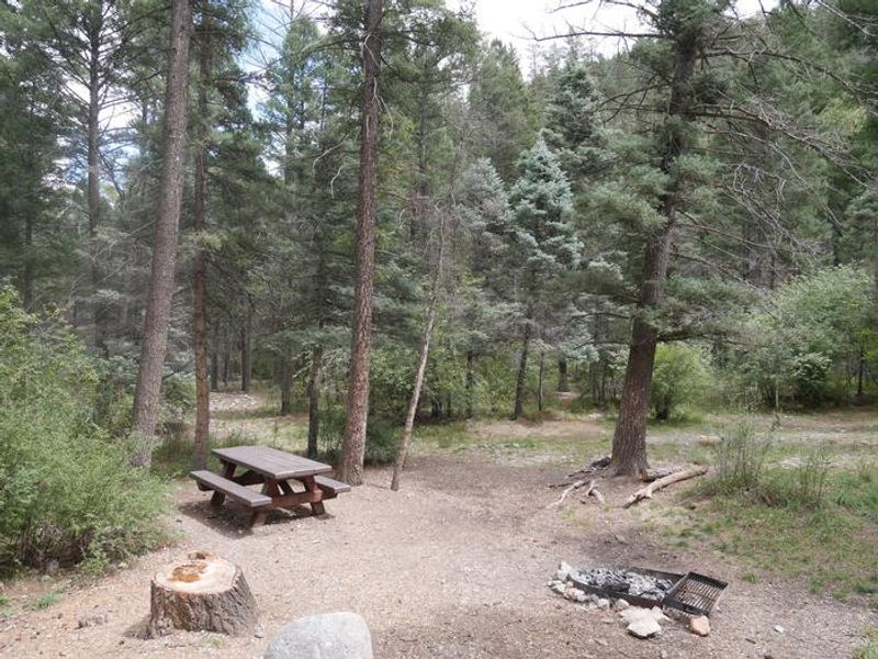
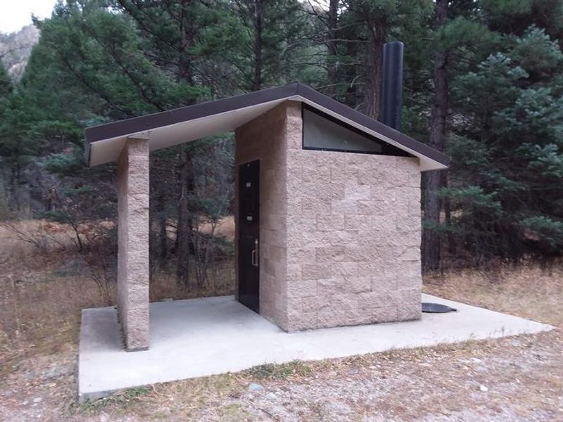
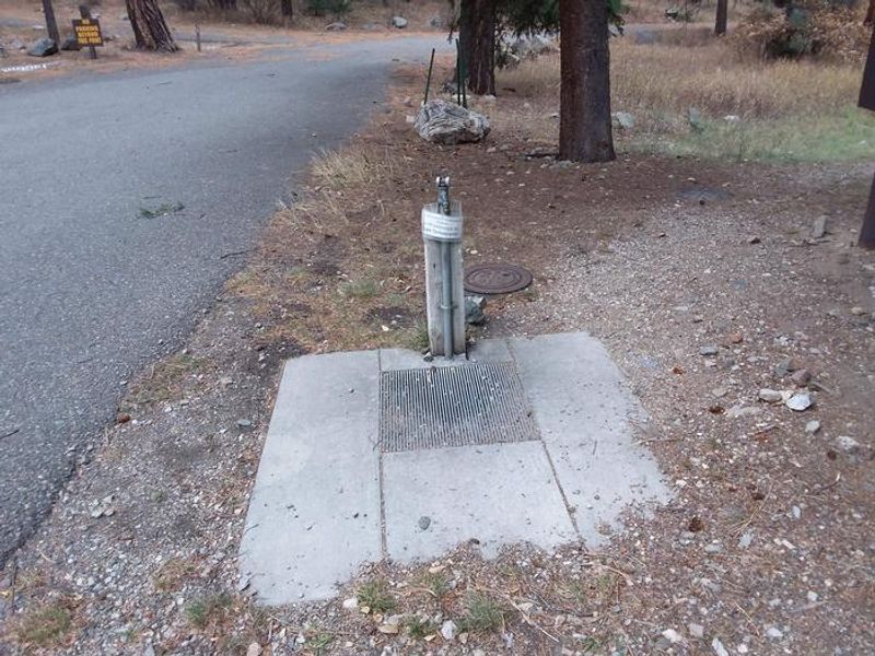
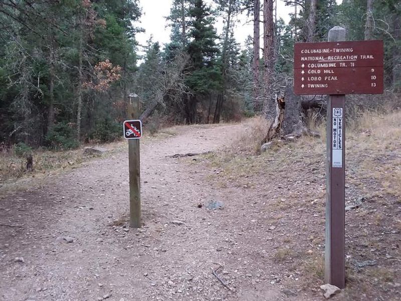
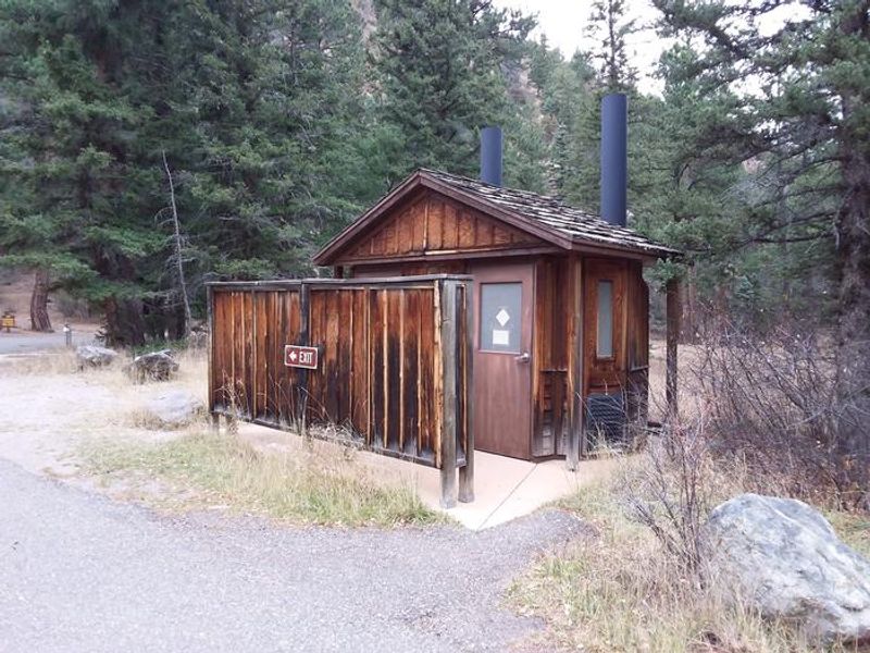
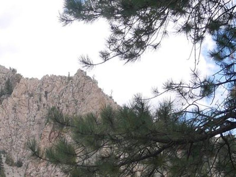
Columbine Campground offers 26 single sites in Carson National Forest, situated in the steep canyon of the Red River between Questa and Red River, New Mexico. At 7,900 feet elevation, the campground provides two distinct camping experiences: a small entrance loop with open sites and sweeping mountain views, and an extended canyon loop where sites are nestled among pine, spruce, and aspen trees along Columbine Creek, offering ample shade and privacy. The campground serves as the trailhead for the Columbine Canyon Trail (#71), which leads into the Columbine-Hondo Wilderness. Anglers can access the Red River near the first loop. Each site includes a fire ring, picnic table, and tent pad. Potable water and vault toilets are available. Horses are not permitted in the campground. Bears are active in the area, and food storage regulations are strictly enforced. The campground typically operates from early May through late September, weather permitting.
Directions
5 miles east of Questa, New Mexico via NM Highway 38. Address: 184 State Highway 38, Questa, NM 87556.
Amenities
| Water | Yes |
| Fires Allowed | Yes |
| Toilets | Yes |
| Dump Station | — |
| Wifi | No |
| Pets Allowed | — |
| Showers | No |
| Electric Hookups | — |
| Water Hookups | — |
| Sewer Hookups | — |
| Camp Store | No |
| Price | $30 |
Vehicle
| Max RV Length | 70ft |
| Max Trailer Length | 70ft |
| Big Rig Friendly | No |
| Pull Through Sites | No |
Contact
| Phone | +1 (575) 586-0520 |
Cell Service
| AT&T | Yes |
| Verizon | None |
| T-Mobile | None |
Availability
Photos
Community Posts
No posts yet. Be the first to share your experience!