Camel Lake Campground
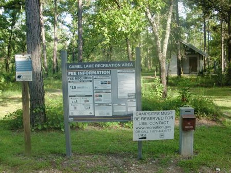
Open year-round. All 10 sites require advance reservations through Recreation.gov. Summer hours (April 1 - October 31) are 8 AM - 8 PM; winter hours (November 1 - March 31) are 8 AM - 6 PM. Quiet hours 10 PM - 6 AM. 14-day camping limit. Bears frequent the area; approved food storage containers required.
Tropical Cyclone Local Statement issued July 21 at 11:17PM EDT by NWS Tallahassee FL
HLSTAE This product covers eastern Florida panhandle, Florida Big Bend, southeastern Alabama and southwestern Georgia **BERTHA MOVING FURTHER AWAY FROM THE EASTERN PANHANDLE** NEW INFORMATION --------------- * CHANGES TO WATCHES AND WARNINGS: - None * CURRENT WATCHES AND WARNINGS: - A Tropical Storm Warning is in effect for Coastal Bay and South Walton * STORM INFORMATION: - About 130 miles west-southwest of Panama City - 29.4N 87.7W - Storm Intensity 60 mph - Movement West or 270 degrees at 6 mph SITUATION OVERVIEW ------------------ ...IMPROVING CONDITIONS EXPECTED ON WEDNESDAY AS TROPICAL STORM BERTHA MOVES AWAY FROM THE REGION... At 10 PM CDT Tuesday, the center of Tropical Storm Bertha was located about 130 miles west-southwest of Panama City. Bertha was moving to the west at 6 mph, and a generally westward movement away from the region will continue on Wednesday and Thursday. Maximum sustained winds were near 60 mph. As Bertha moves further and further from the eastern Panhandle, weather conditions along the coast will slowly improve on Wednesday. Gusty squalls will diminish after Wednesday morning, and sustained winds will decrease throughout the day. Ocean and surf conditions will be slower to improve. Minor coastal flooding remains a concern through Wednesday morning. Very rough surf will continue into Thursday morning. Substantial improvement in seas over the open Gulf will finally get underway on Thursday. At the beaches, life-threatening rip currents will continue through Friday. Beachgoers should heed the advice of beach flags and plan to stay out of the water. Minor coastal flooding is possible during the high tide cycle Wednesday morning along the coast of Apalachee Bay west of the Aucilla River and along the Florida Panhandle coast. 1 to 3 feet of inundation over normally dry ground near the shoreline is expected around the time of high tide. No additional coastal flooding is expected after the Wednesday morning high tide cycle. Brief downpours through Wednesday may cause short-lived nuisance flooding and ponding of water on roads. POTENTIAL IMPACTS ----------------- * SURGE: Potential impacts from the main surge event are now unfolding across the coastal Florida Panhandle and Apalachee Bay. Remain well away from locally hazardous surge having additional limited impacts. If realized, these impacts include: - Localized inundation with storm surge flooding mainly along immediate shorelines and in low-lying spots, or in areas farther inland near where higher surge waters move ashore. - Sections of near-shore roads and parking lots become overspread with surge water. Driving conditions dangerous in places where surge water covers the road. - Moderate beach erosion. Heavy surf also breaching dunes, mainly in usually vulnerable locations. Strong rip currents. - Minor to locally moderate damage to marinas, docks, boardwalks, and piers. A few small craft broken away from moorings. Elsewhere across eastern Florida panhandle, Florida Big Bend, southeastern Alabama and southwestern Georgia, little to no impact is anticipated. * WIND: Potential impacts from the main wind event are now unfolding across the Florida Panhandle. Remain well sheltered from hazardous wind having possible limited impacts. If realized, these impacts include: - Damage to porches, awnings, carports, sheds, and unanchored mobile homes. Unsecured lightweight objects blown about. - Many large tree limbs broken off. A few trees snapped or uprooted, but with greater numbers in places where trees are shallow rooted. Some fences and roadway signs blown over. - A few roads impassable from debris, particularly within urban or heavily wooded places. Hazardous driving conditions on bridges and other elevated roadways. - Scattered power and communications outages. Elsewhere across eastern Florida panhandle, Florida Big Bend, southeastern Alabama and southwestern Georgia, little to no impact is anticipated. PRECAUTIONARY/PREPAREDNESS ACTIONS ---------------------------------- * EVACUATIONS: Follow the advice of local officials. * OTHER PREPAREDNESS INFORMATION: Keep your cell phone charged and in power-saving mode. If you lose power, use it sparingly and mainly for personal emergencies and check-ins. Do not be a thrill seeker or risk your life for senseless photos or videos. * ADDITIONAL SOURCES OF INFORMATION: - For information on appropriate preparations see ready.gov - For additional disaster preparedness information see redcross.org NEXT UPDATE ----------- The next local statement will be issued by the National Weather Service in Tallahassee FL around 4 AM CDT, or sooner if conditions warrant.
Travel Management & Off-Highway Vehicle (OHV) Program
The U.S. Department of Agriculture and Forest Service are reviewing the Executive Order, entitled "Removing Unnecessary and Counterproductive Restrictions on Access to Federal Lands" issued May 29, 2026, that may affect travel management on National Forest System lands. Any changes to public…
Fire Restrictions in Effect for Ocala National Forest
The Ocala National Forest is under stage 1 fire restrictions. Exemptions include developed campsites with Forest Service provided campfire rings and grills. Dispersed campers who wish to have fires must use propane; charcoal is authorized for grilling purposes. All residents must conform to the…
About
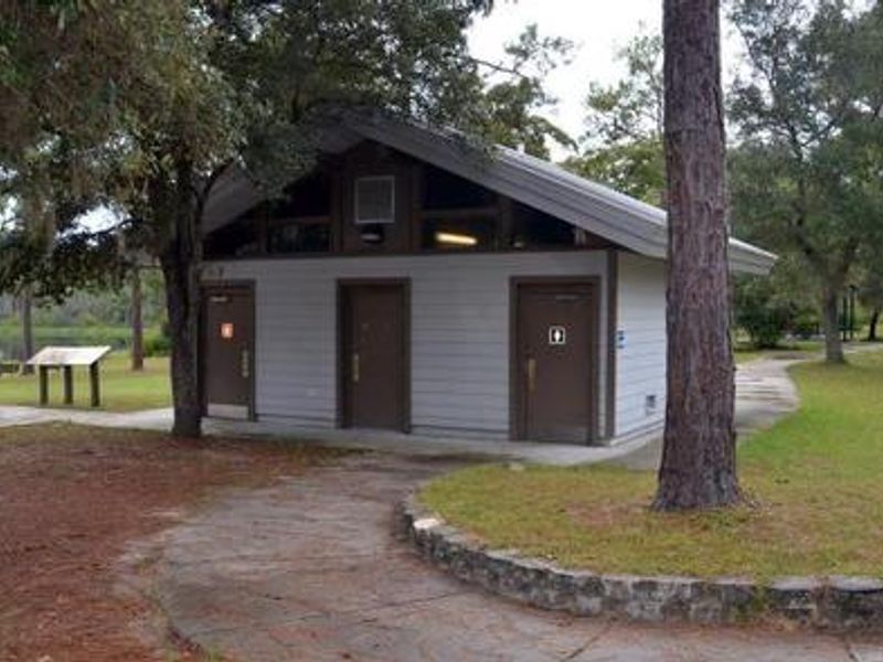
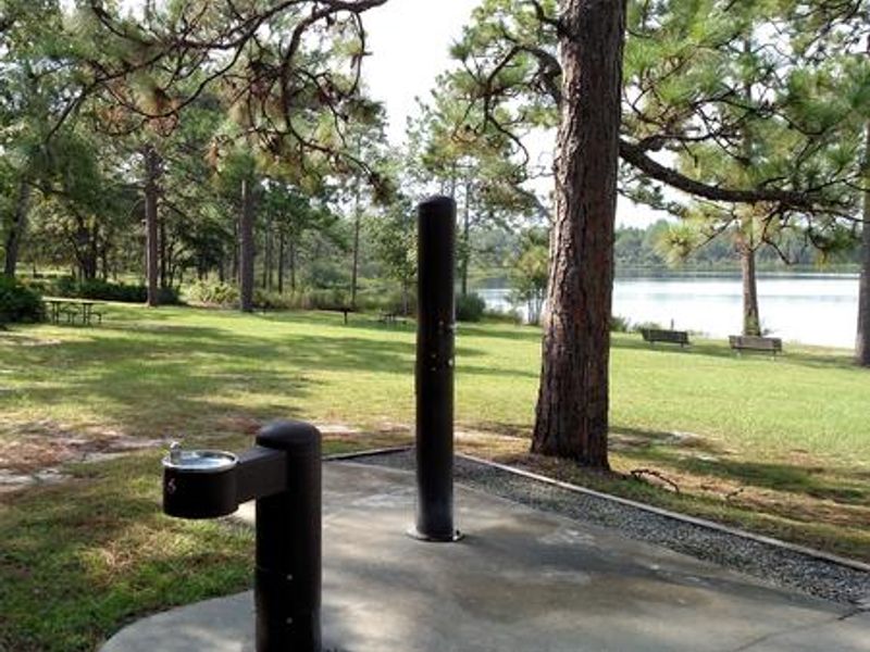
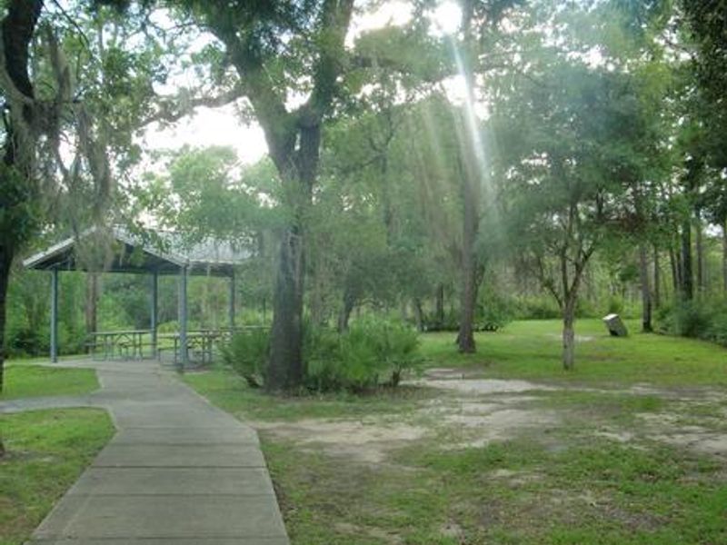
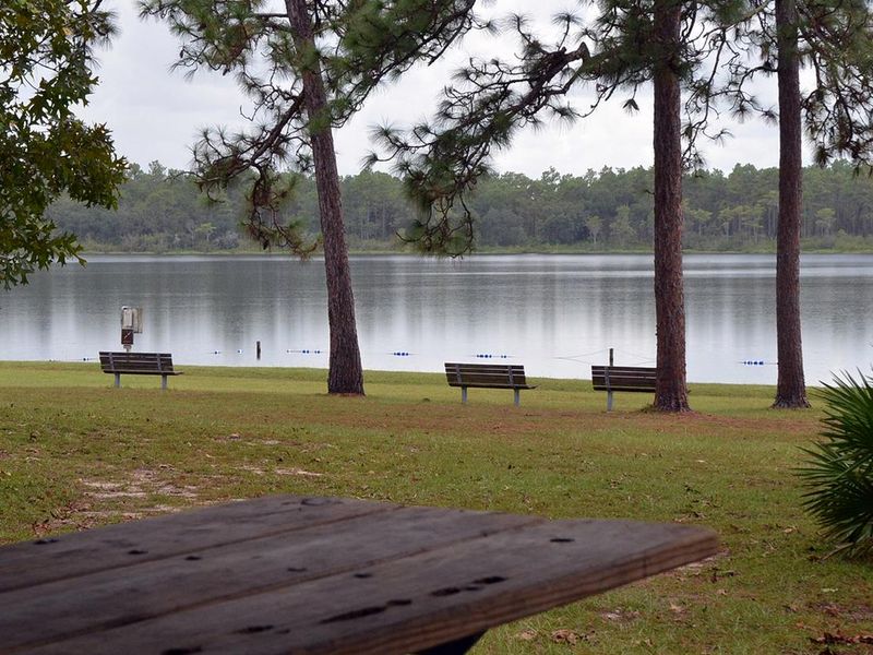
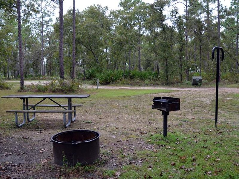
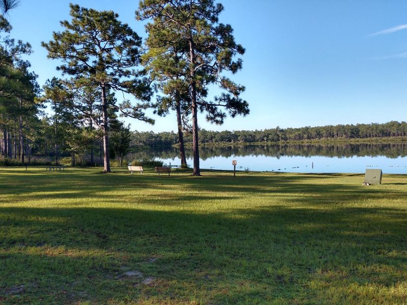
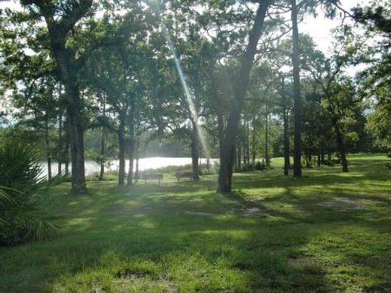
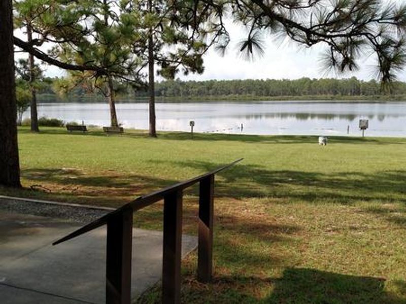
Camel Lake Campground sits above the rim of one of the few crystal-clear lakes in Apalachicola National Forest. The ten well-shaded sites accommodate both RVs (up to 60 feet) and tents, with four sites offering 30/50 amp electric hookups and six non-electric sites. All sites require advance reservations through Recreation.gov. A bathhouse with flush toilets and drinking water serves the campground, along with an outdoor rinse station. The recreation area centers on the lake itself, featuring a sandy beach for swimming, a boat ramp for paddle boats and electric trolling motors (no gas motors permitted), and a short loop trail circling the water. Longer hiking options connect to the nearby Florida National Scenic Trail. The day-use area includes picnic tables, a picnic shelter, and accessible parking and restrooms. The Apalachicola is one of the most biodiverse places in the world, and Camel Lake places you in the heart of this natural treasure. Tall longleaf pines and wiregrass surround the area, while seepage slopes create pitcher plant bogs. Bears and other wildlife frequent the area, so all food must be stored in approved containers.
Directions
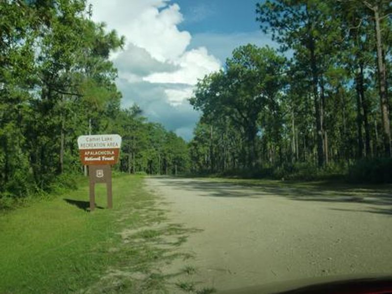
Take SR 20 west from Tallahassee through Hosford to Bristol. Turn south on SR 12. Continue south to the Apalachicola National Forest boundary sign and look for a sign for Camel Lake soon after you pass the work station and trailhead on the left. Turn left on Forest Road 105, which is an unpaved road. Drive 2 miles to the recreation area entrance on the right.
Nearby Campgrounds
Amenities
| Water | Yes |
| Fires Allowed | Yes |
| Toilets | Yes |
| Dump Station | No |
| Wifi | — |
| Pets Allowed | Yes |
| Showers | Yes |
| Electric Hookups | Yes |
| Water Hookups | No |
| Sewer Hookups | No |
| Camp Store | — |
| Price | $20 - $30 |
Vehicle
| Max RV Length | 60ft |
| Max Trailer Length | 60ft |
| Big Rig Friendly | Yes |
| Pull Through Sites | No |
Contact
| Phone | +1 (850) 643-2282 |
Cell Service
| AT&T | None |
| Verizon | Yes |
| T-Mobile | None |
Availability
Photos
Community Posts
No posts yet. Be the first to share your experience!