Cadotte Lake
Opening day has been postponed to May 8, 2026 due to road damage from heavy rain. The campground operates seasonally from early May through mid-September. Sites are available via Recreation.gov or first-come, first-served.
From Recreation.gov
**Opening Day has been postponed to May 8th** due to road issues caused by excessive rain. We sincerely apologize for any inconvenience this may cause and appreciate your understanding.
About
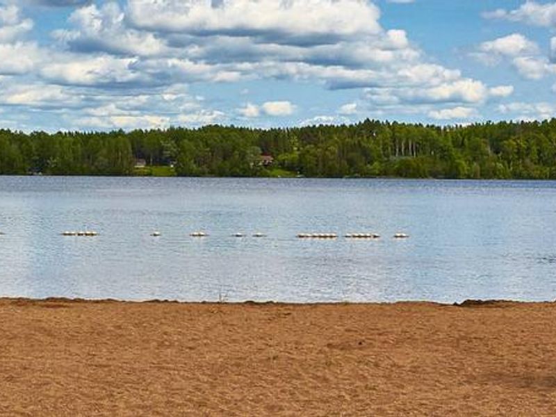
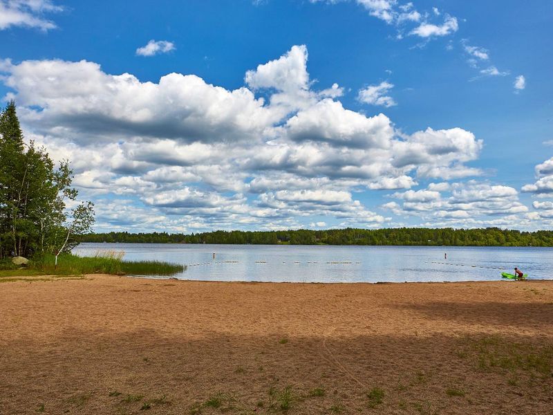
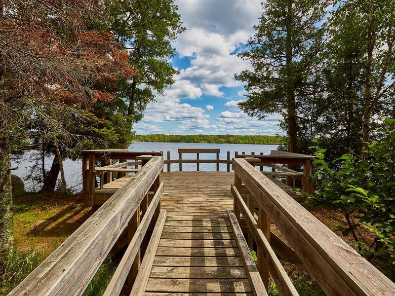
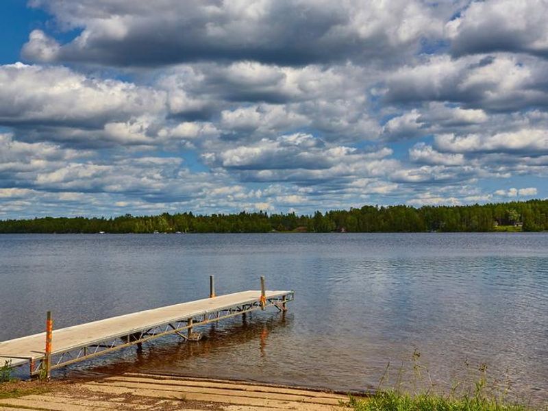
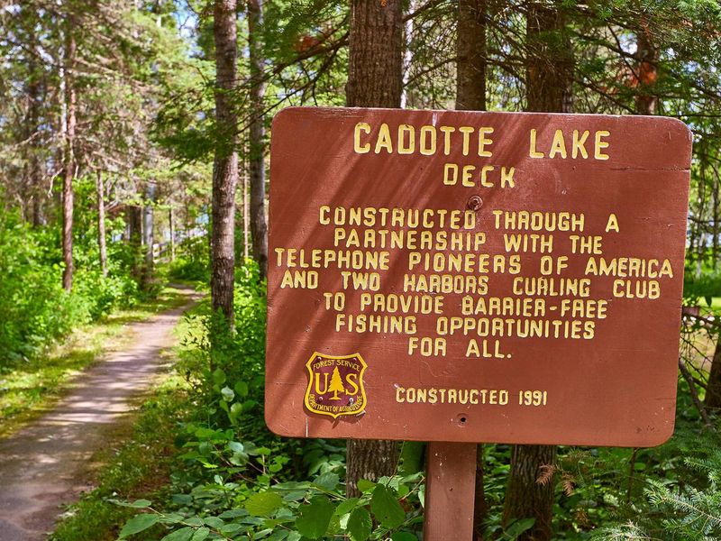
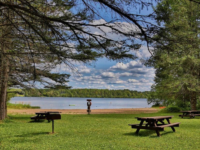
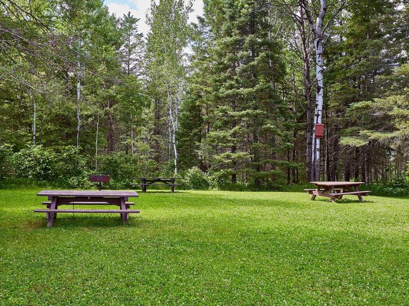
Cadotte Lake Campground occupies the western shore of Cadotte Lake within Superior National Forest in northeastern Minnesota. The 318-acre lake is stocked with walleye and northern pike, making it a prime fishing destination. A boat ramp and fishing dock provide easy lake access, while a sandy swimming beach draws families during warmer months. The surrounding boreal forest of mixed evergreen, birch, and aspen offers scenic hiking opportunities. The campground contains 27 sites across two loops, including four barrier-free accessible sites and two long-term seasonal sites. Each site features a fire ring and picnic table on a gravel pad. Vault toilets and potable water from a solar-powered well are available in both loops. No hookups, showers, or dump station are provided. Sites accommodate tents, trailers, and RVs up to 45 feet, though all driveways are back-in style. Superior National Forest spans 3 million acres along 150 miles of the U.S.-Canada border, including the renowned Boundary Waters Canoe Area Wilderness. The forest offers 77 lake access points, 13 fishing piers, 10 swimming beaches, and three scenic byways for additional exploration.
Directions
From Two Harbors, take Highway 2 north for 25 miles. Turn west on County Road 15 and travel 12 miles (County Road 15 becomes St. Louis County Road 16). Turn north on Forest Road 425 for 0.5 miles, then turn on Forest Road 778 and travel 1 mile to the campground.
Amenities
| Water | Yes |
| Fires Allowed | Yes |
| Toilets | Yes |
| Dump Station | No |
| Wifi | No |
| Pets Allowed | Yes |
| Showers | No |
| Electric Hookups | — |
| Water Hookups | — |
| Sewer Hookups | — |
| Camp Store | — |
| Price | $26 |
Vehicle
| Max RV Length | 45ft |
| Max Trailer Length | 45ft |
| Big Rig Friendly | No |
| Pull Through Sites | No |
Contact
| SM.FS.Superior_NF@usda.gov | |
| Phone | +1 (218) 453-8650 |
Cell Service
| AT&T | None |
| Verizon | None |
| T-Mobile | Yes |
Availability
Photos

Community Posts
No posts yet. Be the first to share your experience!