Blackpine Cr Horsecamp
Closed for the entire 2026 season. The access road is impassable due to washouts from flooding storms in 2025. The campground will remain closed until roadway repairs can be made.
Heat Advisory issued July 21 at 10:05PM PDT until July 23 at 9:00PM PDT by NWS Spokane WA
* WHAT...Hot temperatures with daytime highs in the mid 90s to low 100s Wednesday and Thursday. This will pose a moderate to major risk of heat-related illness. * WHERE...Portions of North and North Central Idaho and Central, East Central, North Central, Northeast, and Southeast Washington. * WHEN...Until 9 PM PDT Thursday. * IMPACTS...Hot temperatures may cause heat illnesses. * ADDITIONAL DETAILS...Wednesday will likely be the hottest day with widespread moderate and major HeatRisk. Limited overnight relief expected across the lower elevations Wednesday and Thursday mornings with low temperatures in the mid 60s to mid 70s.
From Recreation.gov
**Roadway is impassable due to washouts from the flooding storms of 2025. Campground will be closed this season until roadway repairs can be made.**
About
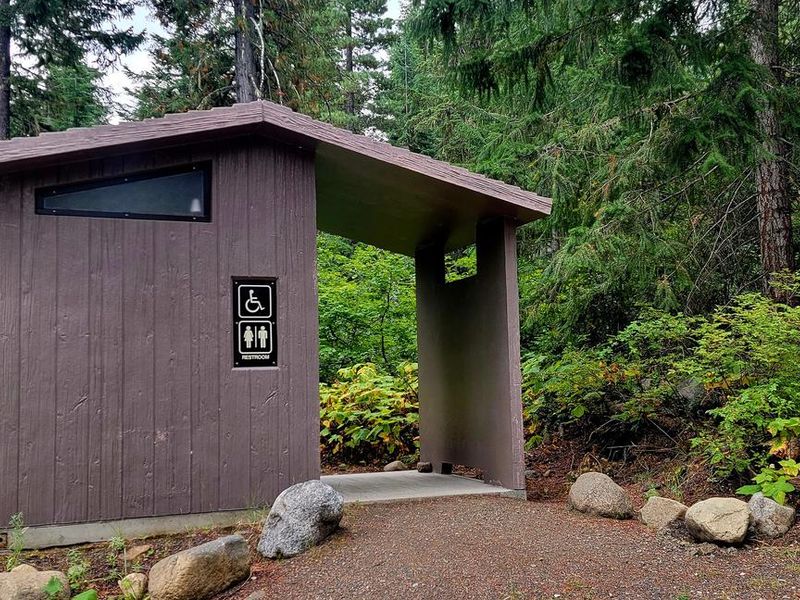
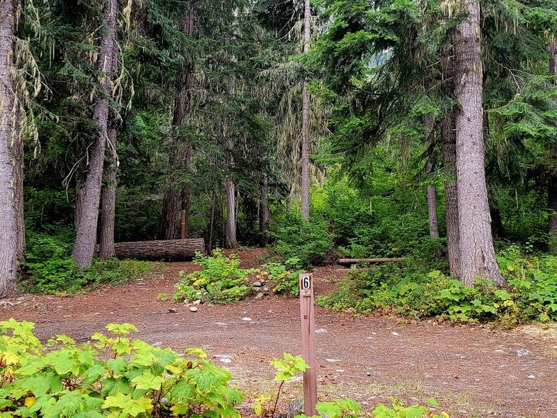
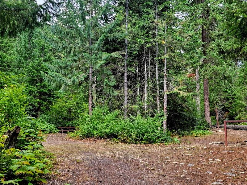
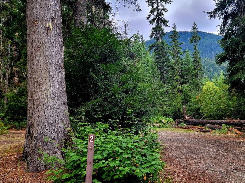
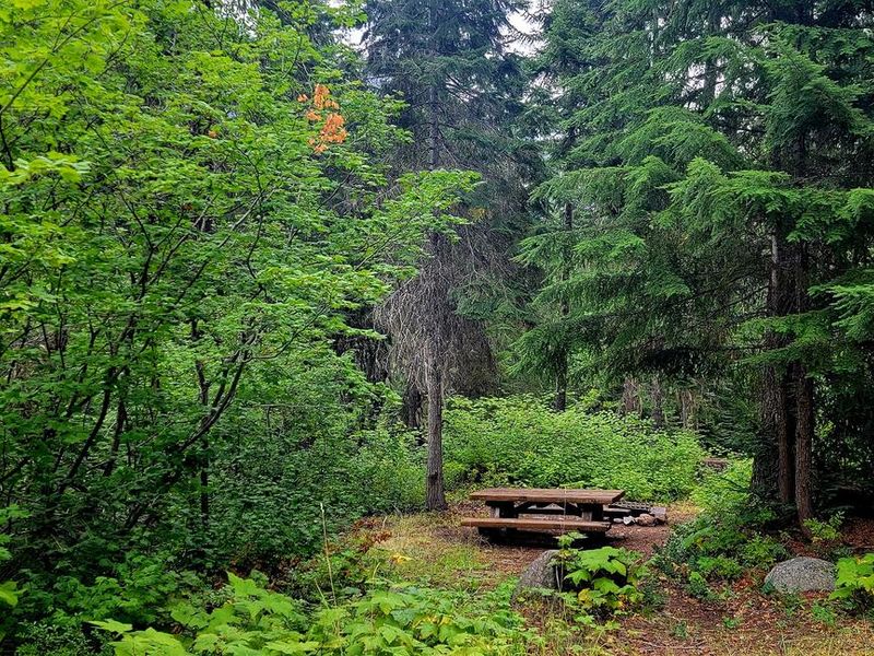
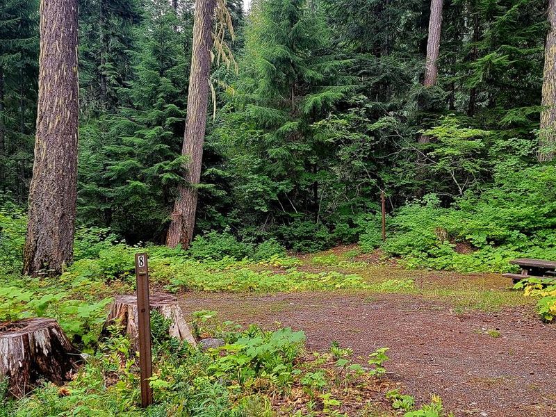
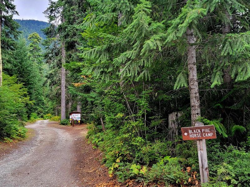
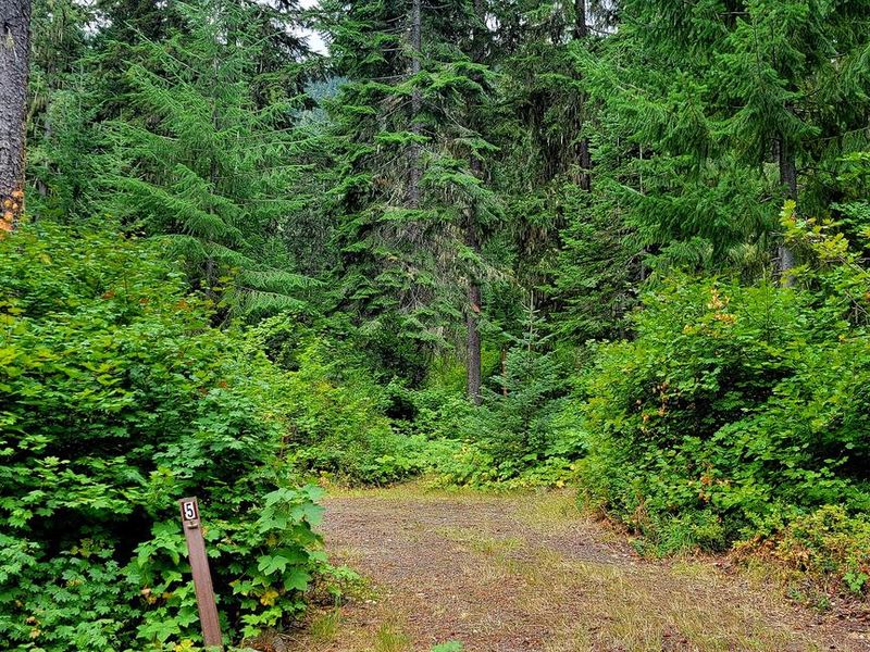
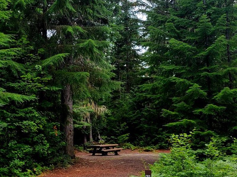
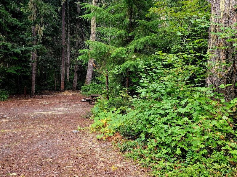
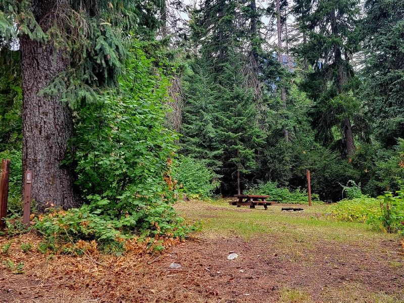
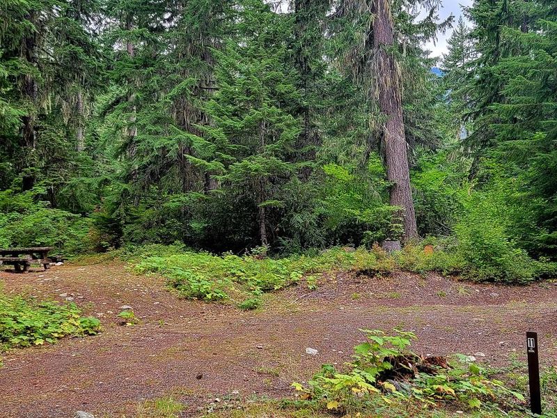
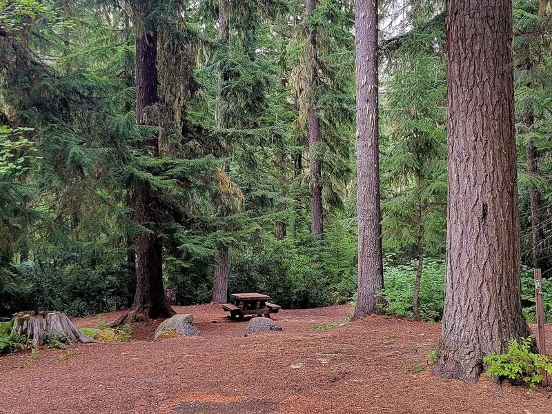
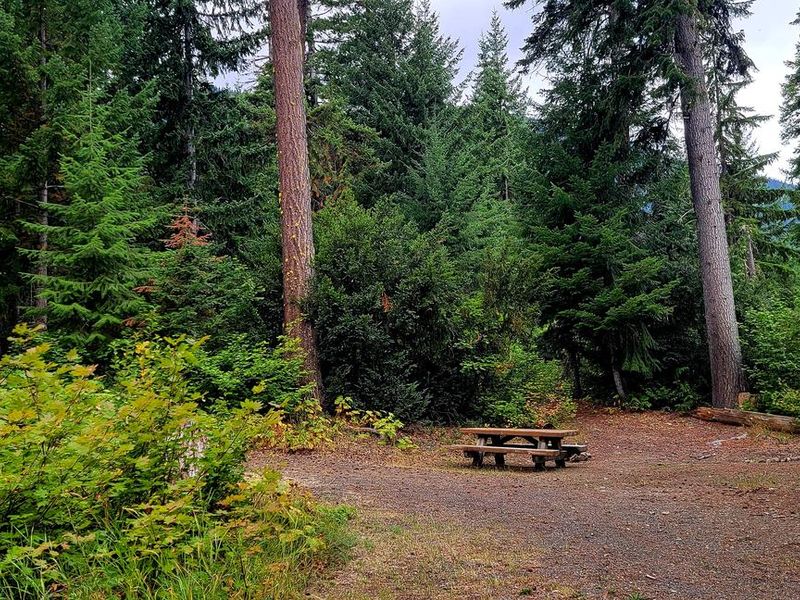
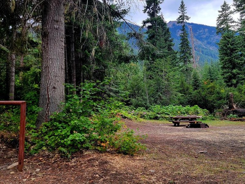
Blackpine Creek Horsecamp is a remote horse camping facility nestled along Blackpine Creek in the Okanogan-Wenatchee National Forest. The campground provides 10 single sites on a first-come, first-served basis, catering specifically to equestrian campers looking to explore the surrounding trail system. The camp serves as a staging area for several trails including Icicle Creek Trail #1551, Jack Creek Trail, and Blackjack Ridge Trail #1565. Facilities are primitive with vault toilets available but no potable water on site. Campers should bring adequate water supplies and be prepared for a backcountry experience. Access is via Icicle Road from Leavenworth, traveling approximately 18 miles. The road transitions from paved to gravel at mile 13 (Forest Road 7600), crosses Icicle Creek at mile 15, with the campground appearing on the left at mile 18. The typical operating season runs from June through October, weather permitting.
Directions
From Leavenworth, take Icicle Road approximately 18 miles. The road transitions to gravel at mile 13 (Forest Road 7600), crosses Icicle Creek at mile 15, and Blackpine Horse Camp appears on the left at mile 18.
Amenities
| Water | No |
| Fires Allowed | — |
| Toilets | Yes |
| Dump Station | No |
| Wifi | No |
| Pets Allowed | — |
| Showers | No |
| Electric Hookups | — |
| Water Hookups | — |
| Sewer Hookups | — |
| Camp Store | No |
| Price | $22 |
Vehicle
| Max RV Length | — |
| Max Trailer Length | — |
| Big Rig Friendly | No |
| Pull Through Sites | No |
Contact
| Phone | +1 (661) 702-1420 |
Cell Service
| AT&T | None |
| Verizon | None |
| T-Mobile | None |
Useful Links
| View on Recreation.gov | |
| USFS Blackpine Horse Camp |
Availability
Photos

Community Posts
No posts yet. Be the first to share your experience!