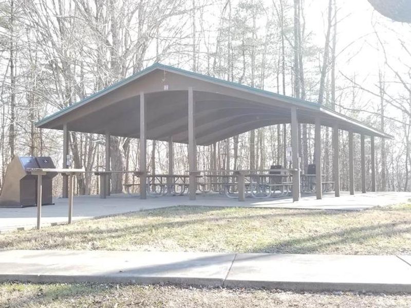
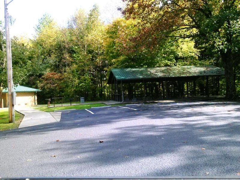
Big Oak Picnic Shelter
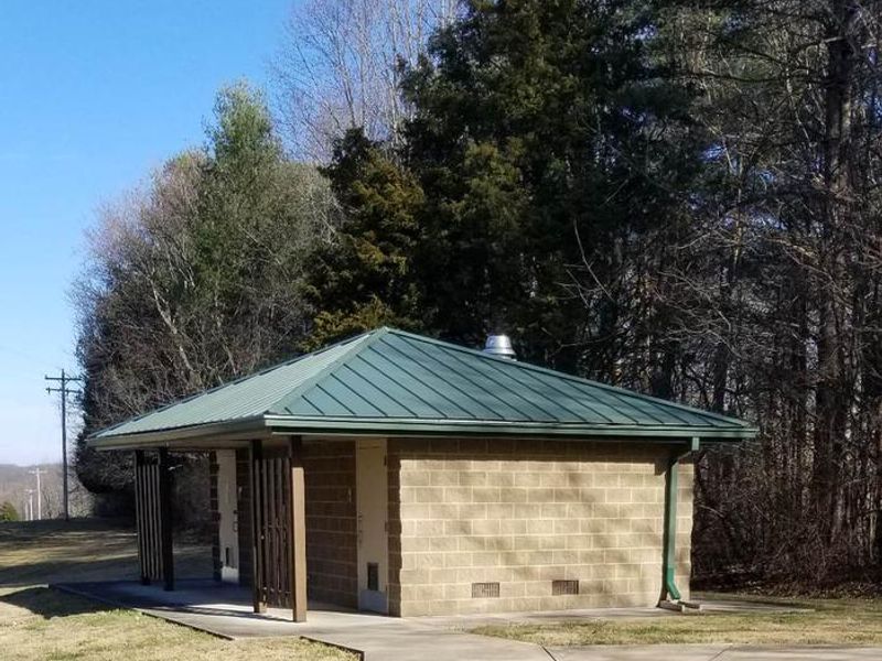
Open year-round for day use. The on-site restroom is closed seasonally during winter months. Events other than picnics or gatherings over 50 attendees require a Special Use Permit submitted 30 days in advance.
Severe Thunderstorm Watch issued July 21 at 6:25PM EDT until July 21 at 10:00PM EDT by NWS Louisville KY
SEVERE THUNDERSTORM WATCH 508 REMAINS VALID UNTIL 10 PM EDT /9 PM CDT/ THIS EVENING FOR THE FOLLOWING AREAS IN KENTUCKY THIS WATCH INCLUDES 29 COUNTIES IN CENTRAL KENTUCKY BOYLE CASEY GARRARD GRAYSON GREEN HARDIN HART LARUE LINCOLN MADISON MARION MERCER NELSON OHIO TAYLOR WASHINGTON IN SOUTH CENTRAL KENTUCKY ADAIR ALLEN BARREN BUTLER CLINTON CUMBERLAND EDMONSON LOGAN METCALFE MONROE RUSSELL SIMPSON WARREN THIS INCLUDES THE CITIES OF ABERDEEN, ALBANY, ALLENDALE, ALVATON, AMANDAVILLE, ARGYLE, ATHERTONVILLE, BAIZETOWN, BARDSTOWN, BEAUMONT, BEAVER DAM, BEDA, BEREA, BLACK GNAT, BOHON, BOWLING GREEN, BOYCE, BRYANTSVILLE, BUCKEYE, BUFFALO, BURKESVILLE, CAMPBELLSVILLE, CANE VALLEY, CANMER, CAVE CITY, CECILIA, CLEMENTSVILLE, COBURG, COLUMBIA, COXS CREEK, CREELSBORO, CROCUS, CROMWELL, CUMBERLAND CITY, DANVILLE, DEATSVILLE, DUBRE, DUNBAR, DUNNVILLE, EDMONTON, EIGHTY EIGHT, ELIZABETHTOWN, ELK HORN, ELLA, EXIE, FLAT ROCK, FOREST SPRINGS, FORT KNOX, FRANKLIN, GASCON, GLASGOW, GLENS FORK, GRADYVILLE, GREENSBURG, HALFWAY, HARDYVILLE, HARRODSBURG, HARTFORD, HAYWOOD, HESTAND, HIGHGROVE, HILLVIEW, HOBSON, HODGENVILLE, HORSE CAVE, JABEZ, JAMESTOWN, KESSINGER, KINGSTON, KIRKSVILLE, KNOB LICK, LANCASTER, LEBANON, LECTA, LEITCHFIELD, LIBERTY, LOGANSPORT, LOWELL, LUCAS, LYONS, MAGNOLIA, MARROWBONE, MAUD, MAYNARD, MCCREARY, MIDDLEBURG, MIDDLETOWN, MINTONVILLE, MORGANTOWN, MUD LICK, MUNFORDVILLE, NEW MARKET, OLGA, PAINT LICK, PEYTONSBURG, PIERCE, PLANO, PRENTISS, PRICES MILL, PROVIDENCE, QUALITY, RADCLIFF, REDHOUSE, REX, RICHARDSVILLE, RICHMOND, ROCKBRIDGE, ROSINE, ROWLAND, RUSSELL SPRINGS, RUSSELLVILLE, SALEM, SALOMA, SAMUELS, SCOTTSVILLE, SHAKERTOWN, SPRINGFIELD, STANFORD, STATIC, STEPHENSBURG, SUMMER SHADE, SUMMERSVILLE, TOMPKINSVILLE, UNO, VALLEY VIEW, WINDSOR, WISDOM, AND YUMA.
Flood Watch issued July 21 at 4:11PM EDT until July 22 at 12:00AM EDT by NWS Louisville KY
* WHAT...Flash flooding caused by excessive rainfall continues to be possible. * WHERE...Portions of east central, north central, and south central Kentucky, including the following areas, in east central Kentucky, Anderson, Bourbon, Boyle, Clark KY, Fayette, Franklin, Garrard, Harrison KY, Jessamine, Madison, Mercer, Nicholas, Scott KY and Woodford. In north central Kentucky, Henry, Larue, Nelson, Shelby, Spencer and Washington KY. In south central Kentucky, Adair, Allen, Barren, Casey, Clinton, Cumberland, Green, Hart, Lincoln, Marion, Metcalfe, Monroe, Russell and Taylor. * WHEN...Until midnight EDT /11 PM CDT/ tonight. * IMPACTS...Excessive runoff may result in flooding of rivers, creeks, streams, and other low-lying and flood-prone locations. Flooding may occur in poor drainage and urban areas. Extensive street flooding and flooding of creeks and rivers are possible. * ADDITIONAL DETAILS... - Heavy rainfall from thunderstorms ahead of an approaching cold front could lead to isolated flooding and drainage issues. - http://www.weather.gov/safety/flood
Flood Advisory issued July 21 at 5:28PM EDT until July 21 at 8:30PM EDT by NWS Louisville KY
* WHAT...Flooding caused by excessive rainfall is expected. * WHERE...Casey County in central Kentucky... Green County in central Kentucky... Hart County in central Kentucky... Lincoln County in central Kentucky... Taylor County in central Kentucky... * WHEN...Until 830 PM EDT /730 PM CDT/. * IMPACTS...Minor flooding in low-lying and poor drainage areas. Ponding of water in urban or other areas is occurring or is imminent. * ADDITIONAL DETAILS... - At 528 PM EDT /428 PM CDT/, Doppler radar indicated heavy rain due to thunderstorms. Minor flooding is ongoing or expected to begin shortly in the advisory area. Up to 1 inch of rain has fallen. - Additional rainfall amounts up to 2 inches are expected over the area. This additional rain will result in minor flooding. - Some locations that will experience flooding include... Liberty, Campbellsville, Stanford, Greensburg, Munfordville, Monroe, Horse Cave, Crab Orchard, Hustonville and Bonnieville. - http://www.weather.gov/safety/flood
About
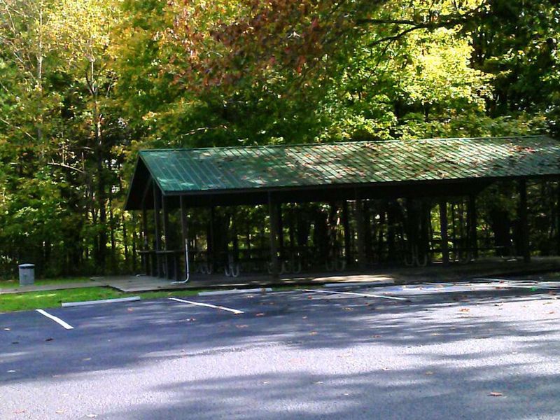
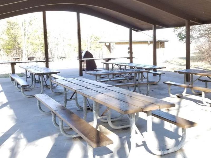
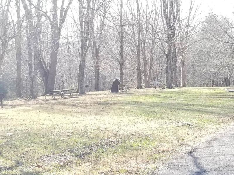
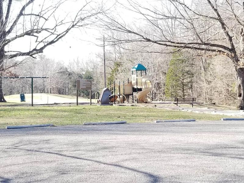
Big Oak Picnic Shelter sits within the Dam Area Day Use Area along Kentucky's Highland Rim at Green River Lake. The shelter provides a covered gathering space with electricity hookups, nine picnic tables, grills, and an adjacent picnic area. Parking and playground access are available on-site, with a seasonal restroom nearby that closes during winter months. Green River Lake offers 8,000 surface acres of water with ten boat ramps around the shoreline. The nearest lake access and boat ramp are located just half a mile away at the Site 1 boat ramp area. The Corps of Engineers Visitor Center and the historic Civil War Atkinson-Griffin Log Cabin are also within half a mile. Green River Lake State Park is a short 3.5-mile drive away. This is a day-use facility only with no overnight camping permitted. Reservations for events other than standard picnics or gatherings exceeding 50 attendees require a Special Use Permit submitted 30 days in advance.
Directions
From Campbellsville, KY: Head southwest on E Broadway St toward Lebanon Ave (0.6 mi). E Broadway St turns slightly right and becomes US-68 W/Greensburg Rd (0.5 mi). Turn left onto KY-55 S (8.3 mi). Turn left onto Hwy 1061/Lake Rd (0.5 mi). Destination will be on the right.
Amenities
| Water | — |
| Fires Allowed | — |
| Toilets | Yes |
| Dump Station | No |
| Wifi | — |
| Pets Allowed | Yes |
| Showers | No |
| Electric Hookups | — |
| Water Hookups | — |
| Sewer Hookups | — |
| Camp Store | No |
| Price | $50 |
Vehicle
| Max RV Length | — |
| Max Trailer Length | — |
| Big Rig Friendly | — |
| Pull Through Sites | No |
Contact
| LRL-Pagemaster-GRG@usace.army.mil | |
| Phone | +1 (270) 465-4463 |
Cell Service
| AT&T | Yes |
| Verizon | Yes |
| T-Mobile | Yes |
Useful Links
| View on Recreation.gov |
Availability
Photos
Community Posts
No posts yet. Be the first to share your experience!