Bear Lake Campsite
Open for the 2026 season. Operating season runs May 15 through Columbus Day. Reservations required via Recreation.gov; walk-ins not allowed. Off-season access (Columbus Day through May 15) is possible but with no services, reservations, or fees.
FR 3303 (Dam Road) closure for bridge replacement on Brevoort River
The bridge on FR 3303 (Dam Road) on the Brevoort River is being replaced and the area will be closed Monday, June 22 through Monday, August 31. Closure area begins approximately 2.1 miles from Brevoort Lake Road. Visitors should expect to see heavy equipment and workers in the area, and find an…
Restricting Public Entry to Stonington Quarry
Persons with a valid permit; Federal, State, or Local members of rescue or fire fighting force in the performance of official duties; Forest Service employees conducting surveys or monitoring and as approved by the Forest Supervisor.Protection of objects and areas that are of significant…
Haymeadow Trail and Bridge Closed
The Haymeadow Creek Hiking Trail Bridge is closed until it can be repaired or replaced. -- Located on the hiking loop near Haymeadow Creek Dispersed Campsites, the bridge failed an inspection due to significant rot. We will update this notice as repairs are implemented. (4/2018),(4/2021).The…
About
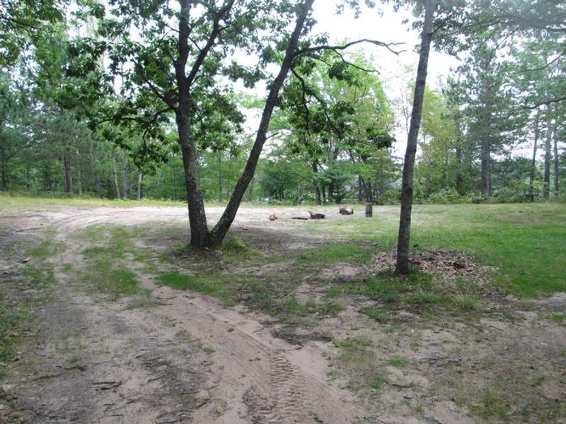
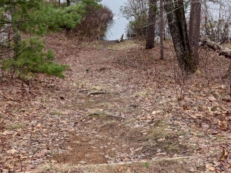
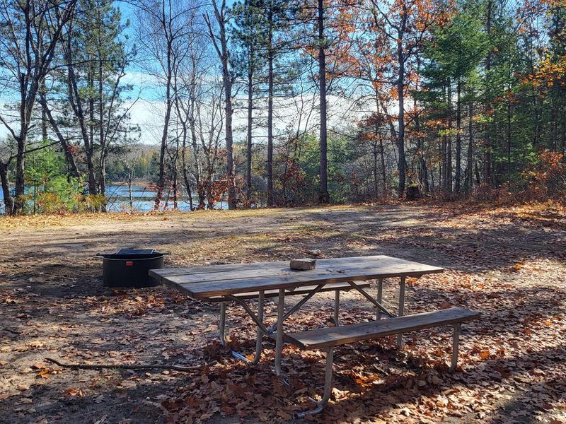
Bear Lake Campsite is a single-site rustic campground in the Rapid River/Manistique Ranger District of Hiawatha National Forest. The site sits high on a hill overlooking the 21-acre Bear Lake, surrounded by spectacular paper birch, aspen, and oak trees. This is a truly primitive camping experience with no restrooms, no potable water, and a pack-in/pack-out policy. The lake is maintained as an excellent brook trout fishery through annual stocking, and a carry-in boat launch on the south end helps prevent overfishing. Swimming is possible but marginal, with a thin layer of sand covering a mucky bottom. Berry picking is popular in season. The site has a tight turning radius and is suitable for one family with a tent or small trailer only. Reservations are required; walk-ins are not allowed. Campers may collect dead and down firewood from the surrounding area. Groceries, gas, and camping supplies are available five miles northeast on County Road 437 in the Thunder Lake area.
Directions
From Cooks (about 12 miles west of Manistique on US-2): Drive north 4.4 miles on County Road 442 to CR 437. Turn left (north) on CR 437 and drive 8.7 miles to FR 2217. Turn left (northwest) on FR 2217 and drive 2.4 miles to FR 2696. Turn left (south) on FR 2696 and drive 0.5 mile to the campsite.
Location
Amenities
| Water | No |
| Fires Allowed | Yes |
| Toilets | No |
| Dump Station | No |
| Wifi | No |
| Pets Allowed | — |
| Showers | No |
| Electric Hookups | — |
| Water Hookups | — |
| Sewer Hookups | — |
| Camp Store | No |
| Price | $8 |
Vehicle
| Max RV Length | 24ft |
| Max Trailer Length | 24ft |
| Big Rig Friendly | No |
| Pull Through Sites | No |
Contact
| Phone | +1 (906) 474-6442 |
Cell Service
| AT&T | None |
| Verizon | Yes |
| T-Mobile | None |
Availability
Photos

Community Posts
No posts yet. Be the first to share your experience!