Lyman Lake Campsites
Open for the season. Operating dates run May 15 through Columbus Day. Reservations required via Recreation.gov; walk-ins not allowed. Check-in 2pm, check-out 11am. 14-day maximum stay.
FR 3303 (Dam Road) closure for bridge replacement on Brevoort River
The bridge on FR 3303 (Dam Road) on the Brevoort River is being replaced and the area will be closed Monday, June 22 through Monday, August 31. Closure area begins approximately 2.1 miles from Brevoort Lake Road. Visitors should expect to see heavy equipment and workers in the area, and find an…
Restricting Public Entry to Stonington Quarry
Persons with a valid permit; Federal, State, or Local members of rescue or fire fighting force in the performance of official duties; Forest Service employees conducting surveys or monitoring and as approved by the Forest Supervisor.Protection of objects and areas that are of significant…
Haymeadow Trail and Bridge Closed
The Haymeadow Creek Hiking Trail Bridge is closed until it can be repaired or replaced. -- Located on the hiking loop near Haymeadow Creek Dispersed Campsites, the bridge failed an inspection due to significant rot. We will update this notice as repairs are implemented. (4/2018),(4/2021).The…
About
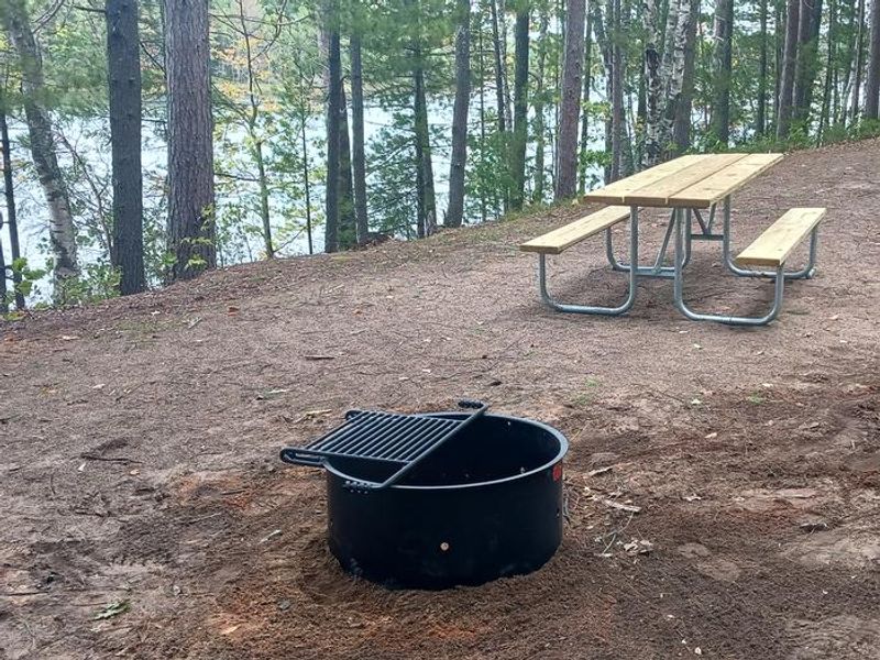
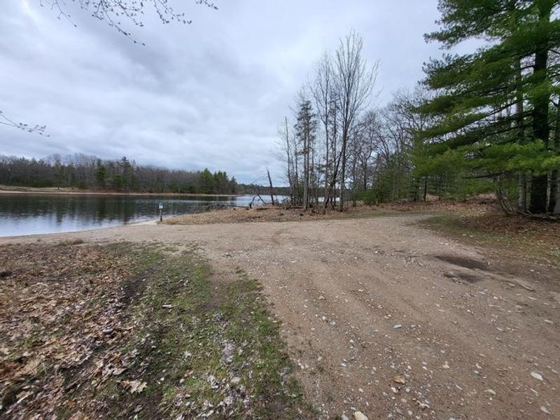
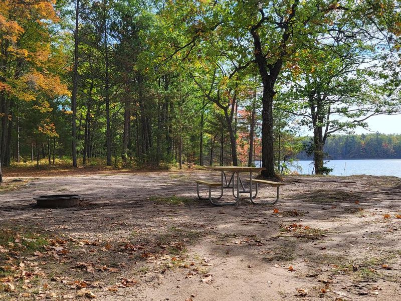
Lyman Lake Campsites provides 10 primitive camping spots nestled in hardwoods and pines around a 67-acre inland lake in Michigan's Upper Peninsula. Each site has distinct characteristics: Site 1 is compact and wooded with lake access via stairway. Sites 2, 3, 5, 8, and 9 feature rock work and split-rail improvements. Site 5 is the largest, accommodating three families, while Site 10 offers isolation with its own access road. Trailers can fit at most sites, though Sites 4, 6, and 9 have limited turning radius. Lyman Lake supports a diverse warm-water fishery including bluegills, pumpkinseeds, rock bass, largemouth bass, and northern pike. A back-in boat launch with parking sits between sites 6 and 7. Swimming quality varies: sites 3 and 5 have good swimming areas, sites 4 and 6 are fair, while the remaining sites have poor lake access for swimming. Primitive toilets are located at sites 3, 4, 5, 8, and 9. There is no drinking water, so campers must bring their own supply. Firewood may be gathered on-site (dead and down only); external firewood is prohibited. Groceries, gas, and supplies are available seven miles northeast in the Thunder Lake area.
Directions
From the intersection of US-2 and Forest Highway 13 (about 14 miles east of Rapid River), drive north 8.4 miles on Highway 13 to CR 442. Turn right (east) and drive 8 miles to FR 2218. Turn left (north) and drive 1.5 miles to site 1. For sites 2-10, drive 1.4 miles from CR 442/FR 2218 intersection to FR 2880, then turn right (east) to reach the campsites.
Amenities
| Water | No |
| Fires Allowed | Yes |
| Toilets | Yes |
| Dump Station | — |
| Wifi | No |
| Pets Allowed | — |
| Showers | No |
| Electric Hookups | — |
| Water Hookups | — |
| Sewer Hookups | — |
| Camp Store | No |
| Price | $8 |
Vehicle
| Max RV Length | 40ft |
| Max Trailer Length | 40ft |
| Big Rig Friendly | No |
| Pull Through Sites | No |
Contact
| Phone | +1 (906) 474-6442 |
Cell Service
| AT&T | None |
| Verizon | Yes |
| T-Mobile | None |
Availability
Photos
Community Posts
No posts yet. Be the first to share your experience!