Gooseneck Lake Campsites
Open for the 2026 season. Season runs May 15 through Columbus Day. Sites closed December 1 through April 30. Reservation only via Recreation.gov; walk-ins not allowed.
FR 3303 (Dam Road) closure for bridge replacement on Brevoort River
The bridge on FR 3303 (Dam Road) on the Brevoort River is being replaced and the area will be closed Monday, June 22 through Monday, August 31. Closure area begins approximately 2.1 miles from Brevoort Lake Road. Visitors should expect to see heavy equipment and workers in the area, and find an…
Restricting Public Entry to Stonington Quarry
Persons with a valid permit; Federal, State, or Local members of rescue or fire fighting force in the performance of official duties; Forest Service employees conducting surveys or monitoring and as approved by the Forest Supervisor.Protection of objects and areas that are of significant…
Haymeadow Trail and Bridge Closed
The Haymeadow Creek Hiking Trail Bridge is closed until it can be repaired or replaced. -- Located on the hiking loop near Haymeadow Creek Dispersed Campsites, the bridge failed an inspection due to significant rot. We will update this notice as repairs are implemented. (4/2018),(4/2021).The…
About
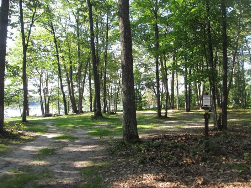
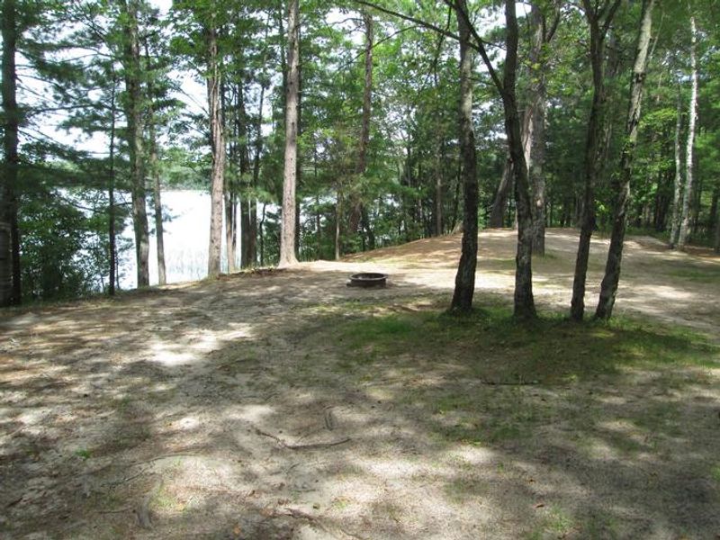
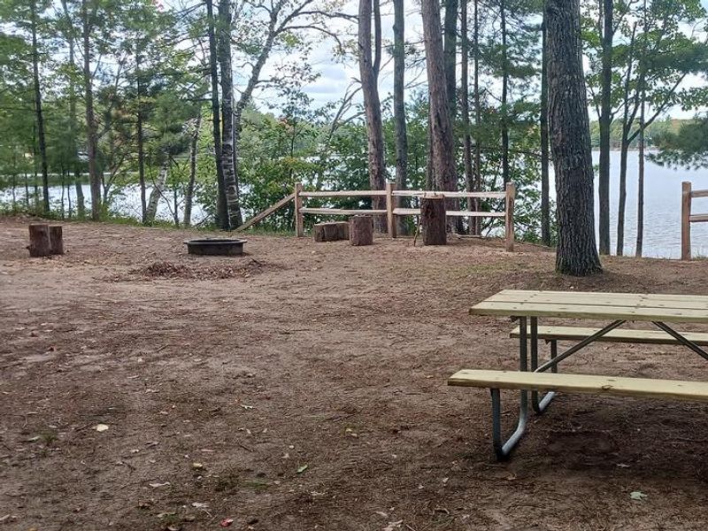
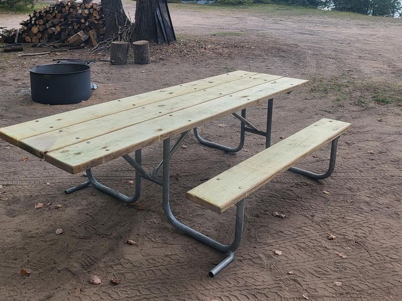
Gooseneck Lake Campsites consist of three dispersed camping areas on a popular 123-acre lake in the Rapid River/Manistique Ranger District of Hiawatha National Forest. While the lake itself is surrounded mostly by private cottages and sees regular motorboat and jet ski traffic, the Forest Service sites provide rustic camping with direct lake access. Site 1 is a small wooded area near the boat launch with a shared vault toilet, Site 3 is the largest at 100x70 feet with the best swimming access, and Site 4 offers a shallow beach but has very narrow access roads. These are primitive sites with no drinking water, so campers must pack in their own supply. Firewood collection is limited to dead and down wood. The lake offers year-round fishing opportunities for walleye, largemouth and smallmouth bass, rock bass, sunfish, and northern pike. Berry picking is available seasonally. Reservations are required; walk-in camping is not permitted. The maximum stay is 14 days, and sites must be occupied the first night and cannot be left unattended for more than 24 hours.
Directions
From the intersection of US-2 and Forest Highway 13 (about 14 miles east of Rapid River), drive north 8.4 miles on Highway 13 to CR 442. Turn right (east) and drive 8 miles to FR 2218. Turn left (north) and drive 1.6 miles to FR 2218EA for Site 1 or 0.8 mile to FR 2218G for Sites 3 and 4.
Amenities
| Water | No |
| Fires Allowed | Yes |
| Toilets | Yes |
| Dump Station | No |
| Wifi | No |
| Pets Allowed | — |
| Showers | No |
| Electric Hookups | — |
| Water Hookups | — |
| Sewer Hookups | — |
| Camp Store | No |
| Price | $8 |
Vehicle
| Max RV Length | 24ft |
| Max Trailer Length | 24ft |
| Big Rig Friendly | No |
| Pull Through Sites | No |
Contact
| Phone | +1 (906) 474-6442 |
Cell Service
| AT&T | None |
| Verizon | Yes |
| T-Mobile | None |
Availability
Photos

Community Posts
No posts yet. Be the first to share your experience!