Camp Cook Campsite
Open for the season. Operating dates are May 15 through Columbus Day. Reservations required via Recreation.gov; walk-ins not permitted. Check-in 2 PM, check-out 11 AM. 14-day stay limit. Site must be occupied the first night and cannot be left unattended for more than 24 hours.
FR 3303 (Dam Road) closure for bridge replacement on Brevoort River
The bridge on FR 3303 (Dam Road) on the Brevoort River is being replaced and the area will be closed Monday, June 22 through Monday, August 31. Closure area begins approximately 2.1 miles from Brevoort Lake Road. Visitors should expect to see heavy equipment and workers in the area, and find an…
Restricting Public Entry to Stonington Quarry
Persons with a valid permit; Federal, State, or Local members of rescue or fire fighting force in the performance of official duties; Forest Service employees conducting surveys or monitoring and as approved by the Forest Supervisor.Protection of objects and areas that are of significant…
Haymeadow Trail and Bridge Closed
The Haymeadow Creek Hiking Trail Bridge is closed until it can be repaired or replaced. -- Located on the hiking loop near Haymeadow Creek Dispersed Campsites, the bridge failed an inspection due to significant rot. We will update this notice as repairs are implemented. (4/2018),(4/2021).The…
About
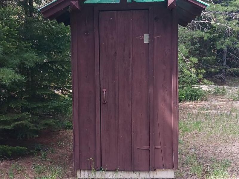
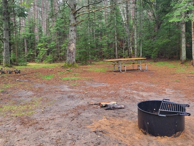
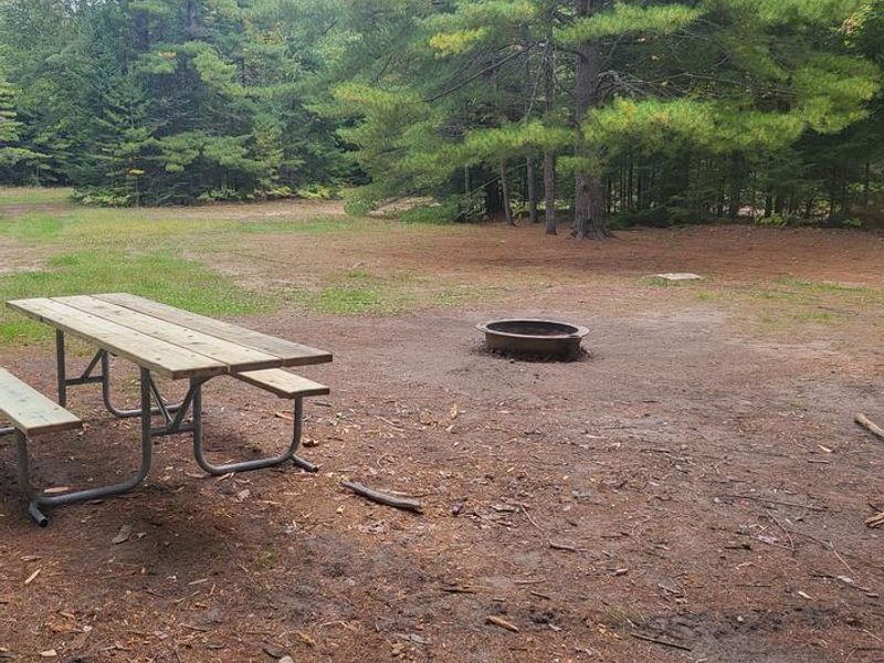
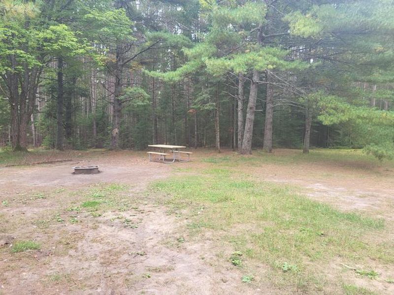
Camp Cook Campsite sits on historic ground in the Rapid River/Manistique Ranger District of Hiawatha National Forest, where a Civilian Conservation Corps camp operated in 1934. The campground offers 4 sites that can be reserved individually or together for larger groups of up to 24 people. A large grassy clearing makes it particularly well-suited for gatherings, reunions, or group camping trips. The Fishdam River runs adjacent to the property, providing excellent brook trout fishing opportunities for anglers with a valid Michigan license. Berry picking is available seasonally in the surrounding hardwood and pine forest. While there's no swimming at Camp Cook, the beach at Camp 7 Lake Campground is only two miles away. This is a primitive, rustic campground with vault toilets but no potable water. Campers must bring their own drinking water and pack out all trash. Firewood must be dead and down from the immediate area; outside firewood is prohibited to prevent the spread of invasive species.
Directions
From the intersection of US-2 and Forest Highway 13 (about 14 miles east of Rapid River or 22 miles west of Manistique), drive north 8.4 miles on Highway 13 to CR 442. Turn right (east) and drive 5.8 miles to FR 2052B. Turn right (southeast) and follow it to the campsite.
Amenities
| Water | No |
| Fires Allowed | Yes |
| Toilets | Yes |
| Dump Station | — |
| Wifi | No |
| Pets Allowed | — |
| Showers | No |
| Electric Hookups | — |
| Water Hookups | — |
| Sewer Hookups | — |
| Camp Store | No |
| Price | $8 |
Vehicle
| Max RV Length | 40ft |
| Max Trailer Length | 40ft |
| Big Rig Friendly | No |
| Pull Through Sites | No |
Contact
| Phone | +1 (906) 474-6442 |
Cell Service
| AT&T | None |
| Verizon | Yes |
| T-Mobile | None |
Availability
Photos
Community Posts
No posts yet. Be the first to share your experience!