Open for the 2026 season from May 2 through October 31. Reservations available through Recreation.gov for approximately 60% of sites; remaining sites are first-come, first-served. $15 per night, half price with Senior or Access Pass.
About
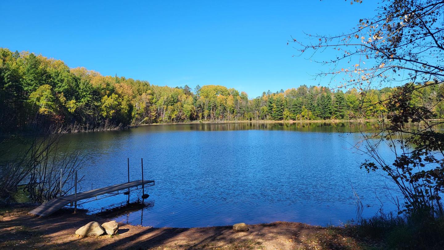
Wanoka Campground is located approximately 7 miles east of Iron River in the Washburn District of Chequamegon-Nicolet National Forest. The campground occupies a scenic setting among mature forest on the shores of Wanoka Lake, a quiet 15-acre lake known for panfish and trout fishing. A small dock and carry-in boat access make it ideal for kayakers, canoeists, and anglers seeking a peaceful paddle. Each of the campsites features a defined parking spur, tent pad, fire ring, and picnic table. Vault toilets and drinking water are provided. Most sites accommodate RVs up to 30-35 feet, with one site capable of handling rigs 45 feet or longer. Two pull-through sites are available. The campground connects to local ATV routes, allowing visitors to ride ATVs or smaller UTVs to and from the campground, though off-road vehicles must be secured on trailers when parked within the campground. Firewood from outside the area is prohibited to prevent the spread of invasive species. Campers should bring locally sourced firewood or purchase it nearby.
Directions
From Iron River, follow US Hwy 2 East for approximately 7 miles and turn right (south) on Forest Road 234.
Amenities
| Water | Yes |
| Fires Allowed | Yes |
| Toilets | Yes |
| Dump Station | No |
| Wifi | No |
| Pets Allowed | — |
| Showers | No |
| Electric Hookups | — |
| Water Hookups | — |
| Sewer Hookups | — |
| Camp Store | No |
| Price | $15 |
Vehicle
| Max RV Length | 35ft |
| Max Trailer Length | — |
| Big Rig Friendly | No |
| Pull Through Sites | Yes |
Contact
| Phone | +1 (715) 373-2667 |
Cell Service
| AT&T | Yes |
| Verizon | Yes |
| T-Mobile | None |
Photos
Community Posts
No posts yet. Be the first to share your experience!