Au Train Lake Campground
Open seasonally from May 15 through September 30. Reservations available via Recreation.gov. First-come, first-served camping available early in the season. Fire danger is currently high.
Special Weather Statement issued October 9 at 2:49PM EDT by NWS Marquette MI
Gusty southerly winds as high as 30mph, combined with dry and warm conditions and minimal recent rainfall will lead to elevated wildfire potential this weekend across most of the U.P. Obey local burn restrictions. Immediately report any wildfires to local emergency services by calling 911. Burn restrictions remain in effect. For complete details, visit www.dnr.state.mi.us/burnpermits, or by calling 866-922-2876.
Brevoort Lake Autumn Drawdown
Residents of Brevoort Lake should take notice that the Hiawatha National Forest will start the draw down of Brevoort Lake starting in October. The purpose of the draw down is to minimize the development of ice dams during the spring melt. The lake will be drawn down gradually over the next few…
Restricting Public Entry to Stonington Quarry
Persons with a valid permit; Federal, State, or Local members of rescue or fire fighting force in the performance of official duties; Forest Service employees conducting surveys or monitoring and as approved by the Forest Supervisor.Protection of objects and areas that are of significant…
About
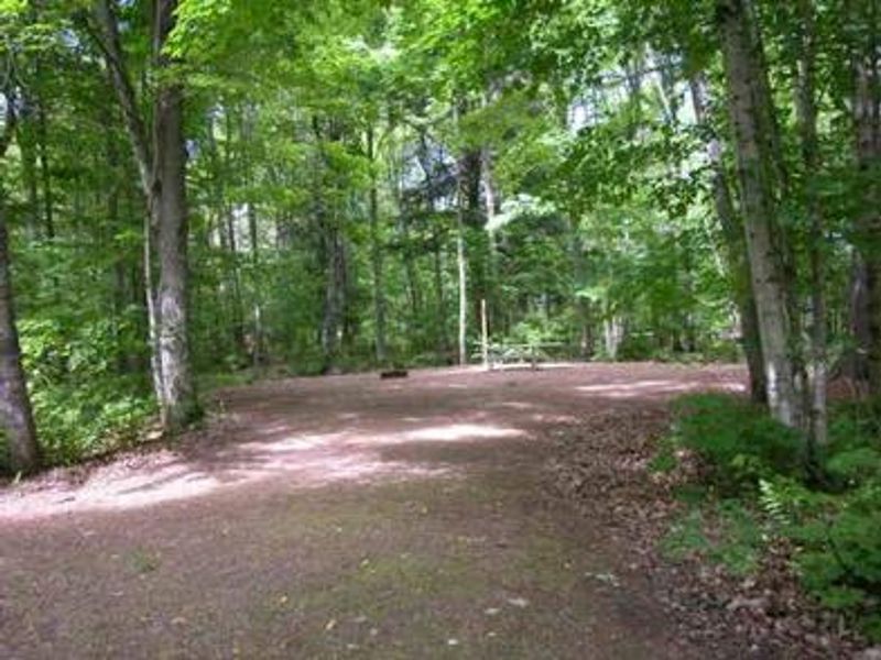
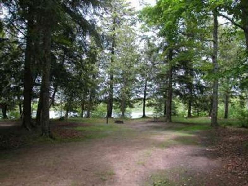
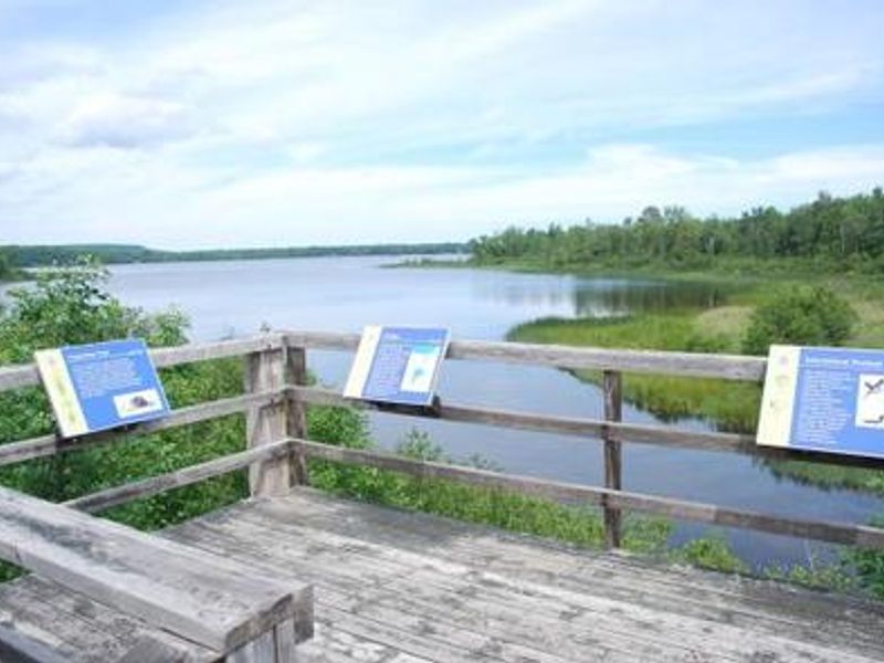
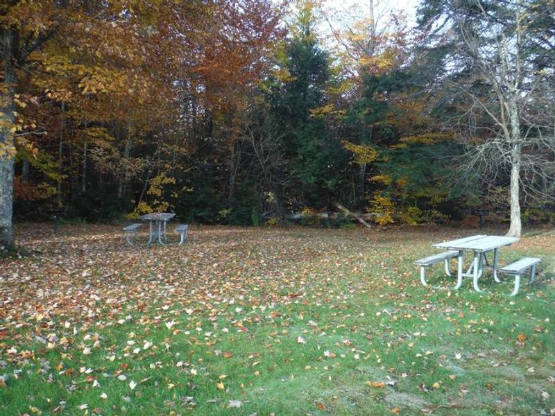
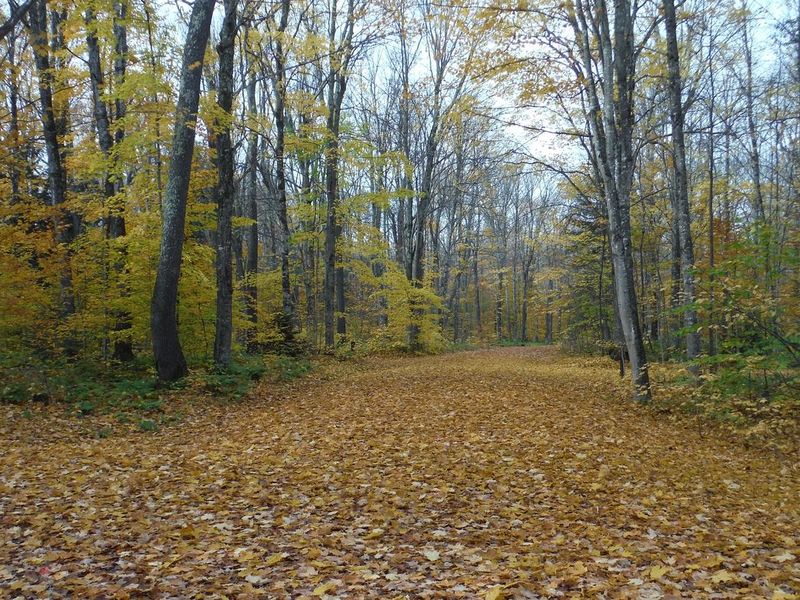
Au Train Lake Campground occupies a quiet, forested setting at the south end of AuTrain Lake, the largest inland lake in the area at 830 acres. Located in Michigan's Upper Peninsula within Hiawatha National Forest, the campground offers 37 standard nonelectric sites spread among pine and aspen. Each site includes a picnic table and fire ring with grill, and the campground provides vault toilets and drinking water. The lake's size makes it ideal for water skiing, motorized boating, swimming, and fishing for bass and perch. A boat ramp is located within the campground. Paddlers can launch on the AuTrain River canoe trail, which begins at the campground and meanders approximately 10 miles north to Lake Superior. The two-mile Songbird interpretive trail loops through forest, field, bog, and lakeshore habitat, making it popular for birding. A wildlife viewing platform at neighboring Buck Bay offers additional observation opportunities. The campground is about 11 miles west of Munising and 5 miles from the small town of AuTrain on Lake Superior. Sites accommodate vehicles up to 60 feet in length, though all sites are back-in configuration with gravel surfaces.
Directions
From AuTrain, travel south on Forest Road H03 for about 4 miles, then go one mile east on Forest Road 2276, then one mile north on Forest Road 2596 to the campground. Located approximately 11 miles west of Munising.
Nearby Campgrounds
Amenities
| Water | Yes |
| Fires Allowed | Yes |
| Toilets | Yes |
| Dump Station | — |
| Wifi | No |
| Pets Allowed | Yes |
| Showers | No |
| Electric Hookups | — |
| Water Hookups | — |
| Sewer Hookups | — |
| Camp Store | No |
| Price | $26 |
Vehicle
| Max RV Length | 50ft |
| Max Trailer Length | 50ft |
| Big Rig Friendly | Yes |
| Pull Through Sites | No |
Contact
| Phone | +1 (906) 767-1111 |
Cell Service
| AT&T | None |
| Verizon | Yes |
| T-Mobile | None |
Availability
Photos

Community Posts
No posts yet. Be the first to share your experience!