Alosa Campsites
Open and accepting reservations via Recreation.gov. Camping is limited to one night only and requires a legitimate multi-day river trip of at least 14 miles. No toilet facilities on-site; campers must pack out all human waste using WAG bags.
From Recreation.gov
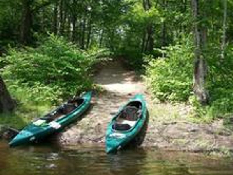
Camping is limited to one night only at this location. Campsites are only accessible by boat
About
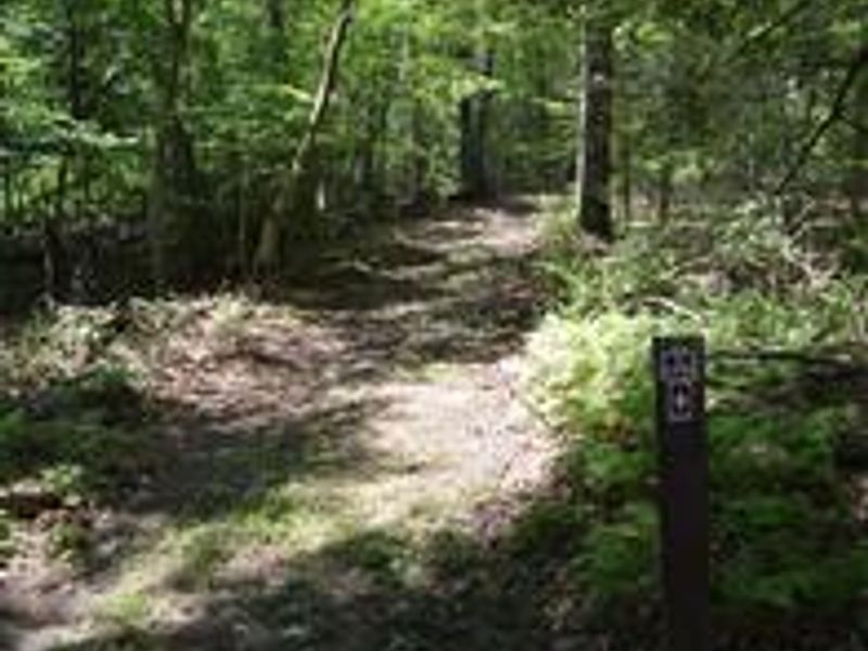
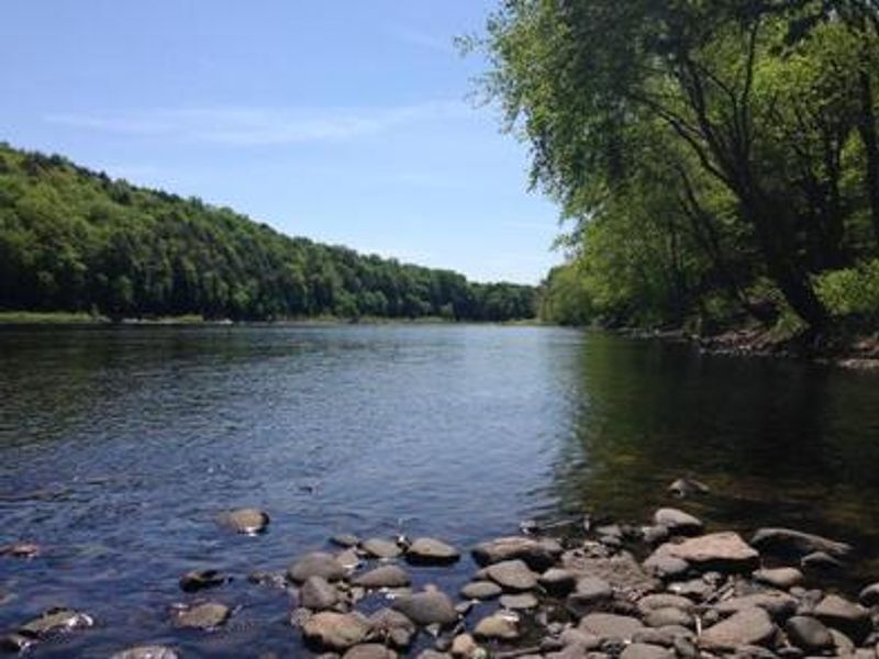
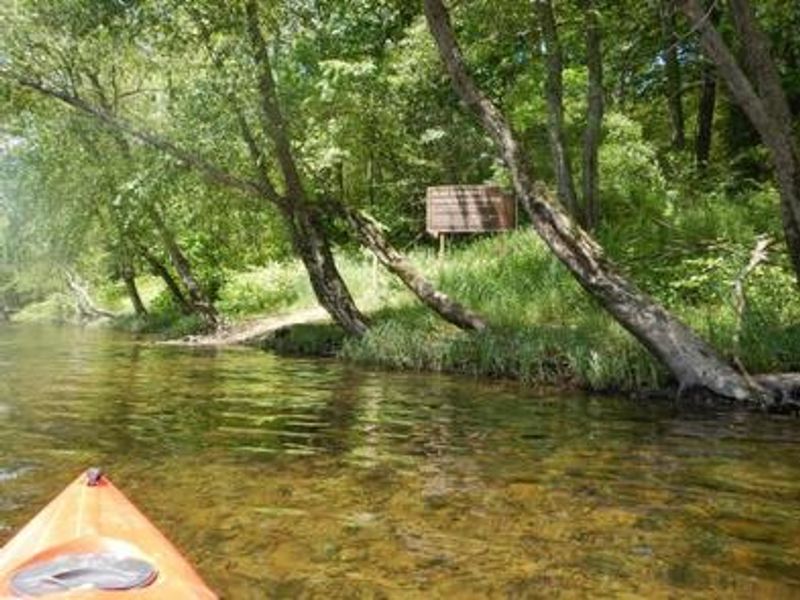
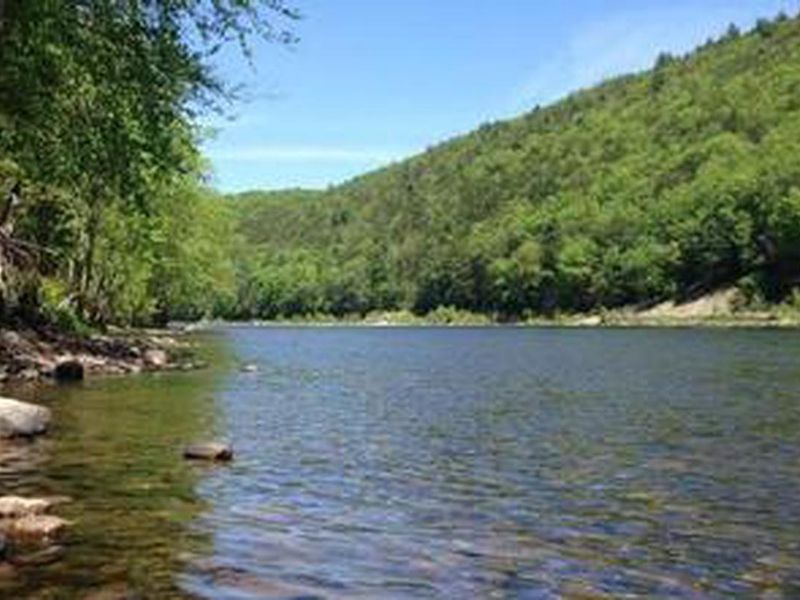
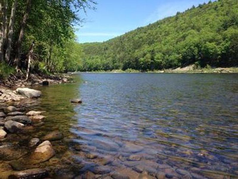
The Alosa Campsites offer a true backcountry river camping experience within Delaware Water Gap National Recreation Area. Located approximately 2.5 miles downstream of Bushkill Access on the Pennsylvania shore, these six primitive sites are accessible only by boat. The campsites sit on a bench above the Delaware River underneath a grove of hardwood trees, home to wildlife including eastern gray squirrels, white-tailed deer, American black bears, and occasionally bald eagles. This section of the Delaware River is known for its American Shad fisheries, which gives the campsites their name. The river here features a mixture of flat water and gentle riffles, making it ideal for beginning paddlers and those seeking a relaxing trip. Fishing is permitted with a valid PA or NJ license during appropriate seasons. Five sites accommodate up to 6 people each, while one site (AL2) accommodates up to 10. Each site has a fire ring with grate and space for several small to mid-size tents. Campers must pack out all trash and human waste using WAG bags or similar containers, as porta johns have been removed. No potable water is available. Camping is limited to one night only, and the minimum river distance is 14 miles for a one-night trip. No vehicles are permitted.
Directions
The Alosa Campsites are located on the right (west) shore of the Delaware River approximately 2.5 miles downstream of Bushkill Access, 1.2 miles downstream of Rivers Bend Group Campground, and 2,000 feet downstream of Turtle Island. For the safest route, stay to the left/east side of Turtle Island in the main channel. Once past the island, move to the right/west shoreline and watch for the large Alosa Campsite sign approximately 1,000 feet from the downstream end of the island.
Nearby Campgrounds
Location
Amenities
| Water | No |
| Fires Allowed | Yes |
| Toilets | No |
| Dump Station | No |
| Wifi | No |
| Pets Allowed | Yes |
| Showers | No |
| Electric Hookups | — |
| Water Hookups | — |
| Sewer Hookups | — |
| Camp Store | No |
| Price | $20 |
Vehicle
| Max RV Length | — |
| Max Trailer Length | — |
| Big Rig Friendly | No |
| Pull Through Sites | No |
Contact
| dewa_interpretation@nps.gov | |
| Phone | +1 (570) 426-2452 |
Cell Service
| AT&T | Yes |
| Verizon | Yes |
| T-Mobile | None |
Availability
Photos


Community Posts
No posts yet. Be the first to share your experience!