Shotgun Creek Recreation Site
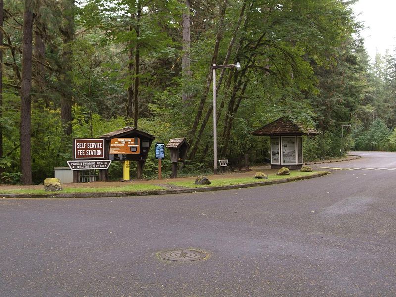
This is a day-use only facility; no overnight camping is allowed. Open year-round with gate hours of 9am-9pm during peak season (May 1-September 30) and 8am-4:30pm during off-season (October 1-April 30). Group shelter reservations available May 1-September 30 via Recreation.gov.
About
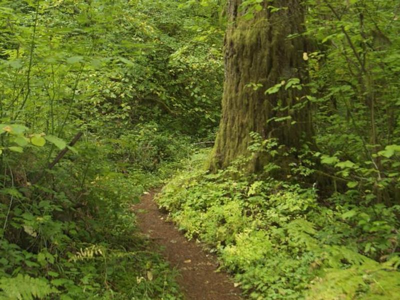
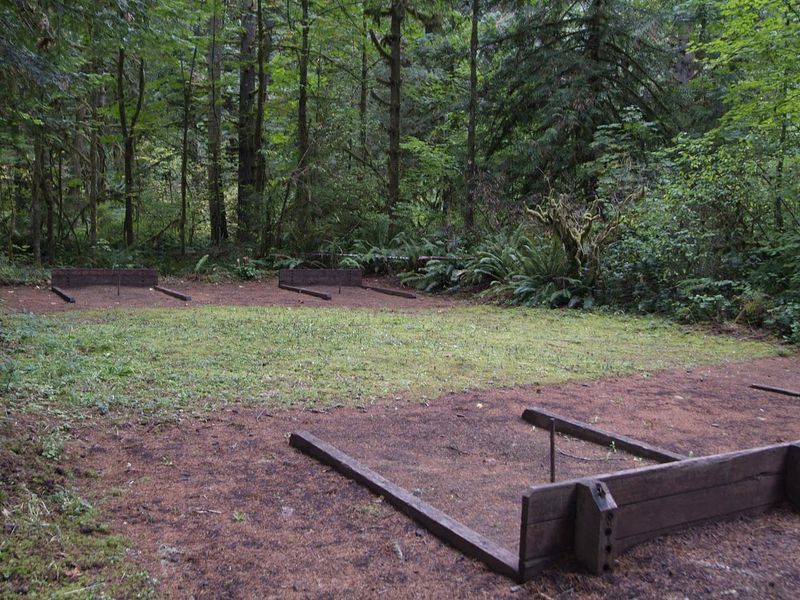
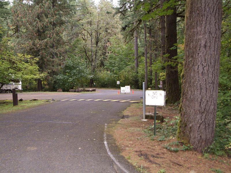
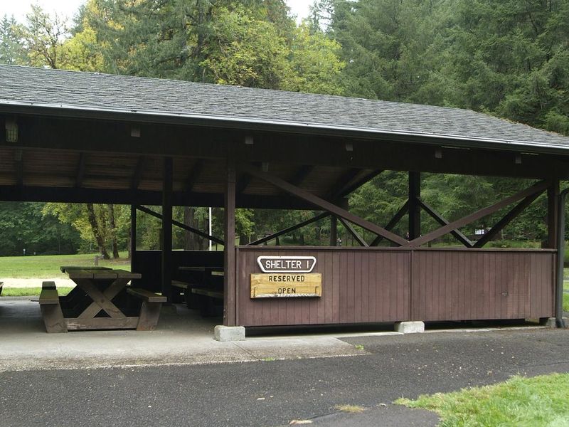
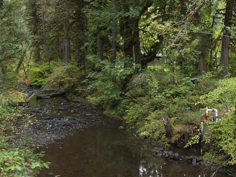
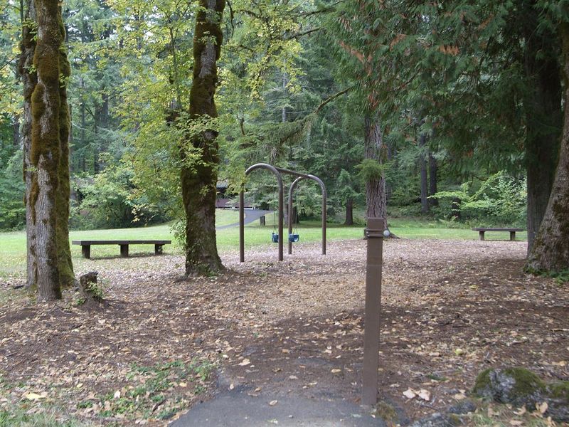
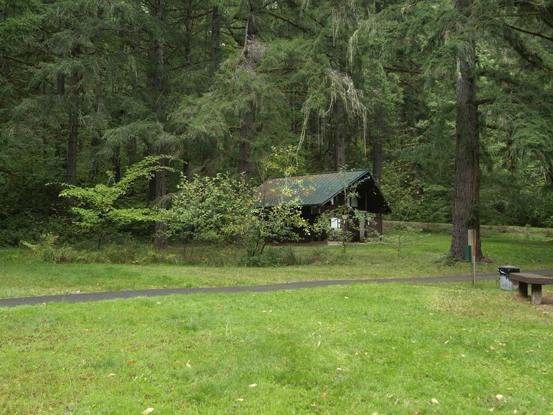
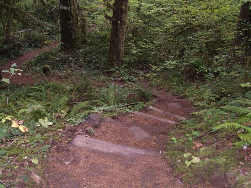
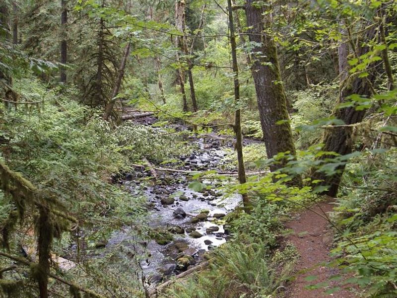
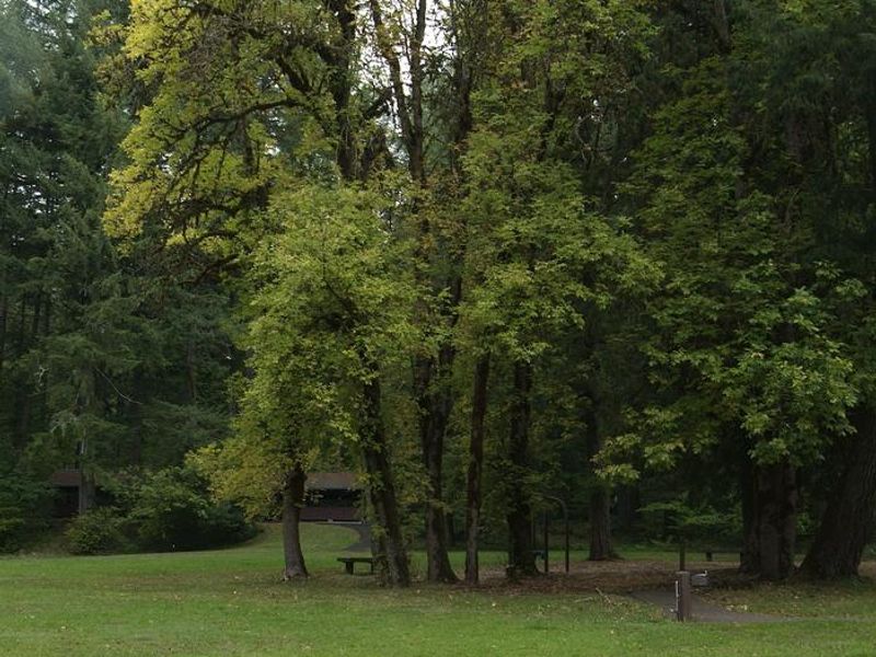
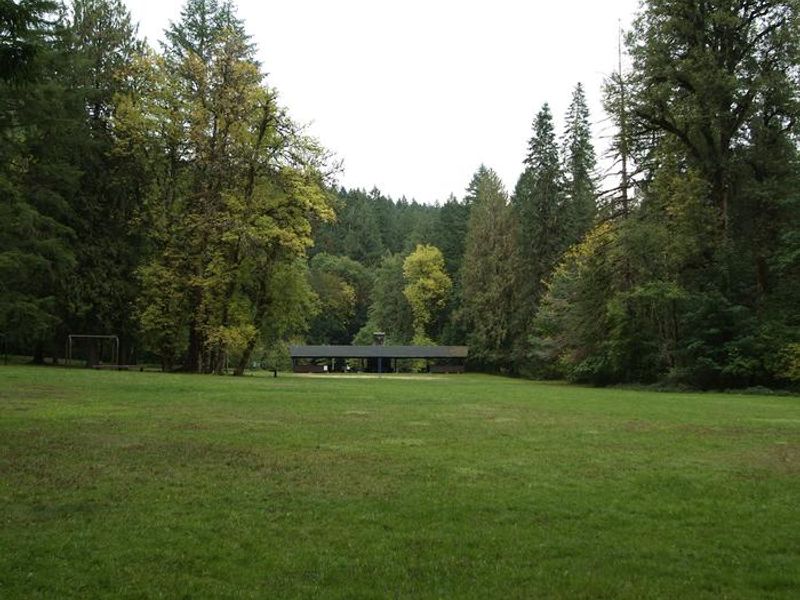
Shotgun Creek Recreation Site is a well-developed day-use recreation area managed by the Bureau of Land Management, situated in the forested foothills northeast of Springfield, Oregon. The site serves as a popular destination for picnicking, group gatherings, and outdoor recreation, though overnight camping is not allowed. The facility features two large group shelters available for reservation from May 1 through September 30, equipped with fireplaces, lights, sinks, potable water, and picnic tables that can accommodate up to 112 people combined. These shelters are popular for weddings, anniversaries, and birthday parties. Additionally, 23 individual picnic sites are available on a first-come, first-served basis. Recreation options include 6.43 miles of hiking trails through the surrounding forest, seasonal water play along Shotgun Creek during summer months, a playground, sand volleyball courts, softball fields, and horseshoe pits. The 34-mile Shotgun OHV Trail System is located immediately north of the recreation site for those interested in off-highway vehicle recreation.
Directions
From Springfield, take OR-126 E to the 42nd St/Marcola exit. Follow signs to Marcola for about 13.3 miles until Shotgun Creek Road (first paved road on the left). Follow Shotgun Creek Road approximately 1.5 miles; the recreation site is on the right.
Amenities
| Water | Yes |
| Fires Allowed | — |
| Toilets | Yes |
| Dump Station | No |
| Wifi | — |
| Pets Allowed | — |
| Showers | No |
| Electric Hookups | — |
| Water Hookups | — |
| Sewer Hookups | — |
| Camp Store | No |
| Price | $100 |
Vehicle
| Max RV Length | — |
| Max Trailer Length | 20ft |
| Big Rig Friendly | — |
| Pull Through Sites | No |
Contact
| Phone | +1 (541) 683-6600 |
Cell Service
| AT&T | None |
| Verizon | None |
| T-Mobile | None |
Availability
Photos


Community Posts
No posts yet. Be the first to share your experience!