Sprague Creek Campground
The campground is currently closed for the winter season. Based on recent years, Sprague Creek typically opens in late May when conditions allow. All 25 sites require advance reservations through Recreation.gov on a 6-month rolling basis, with some sites available 4 days in advance.
About
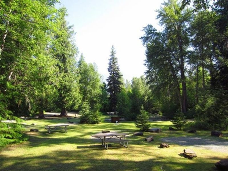
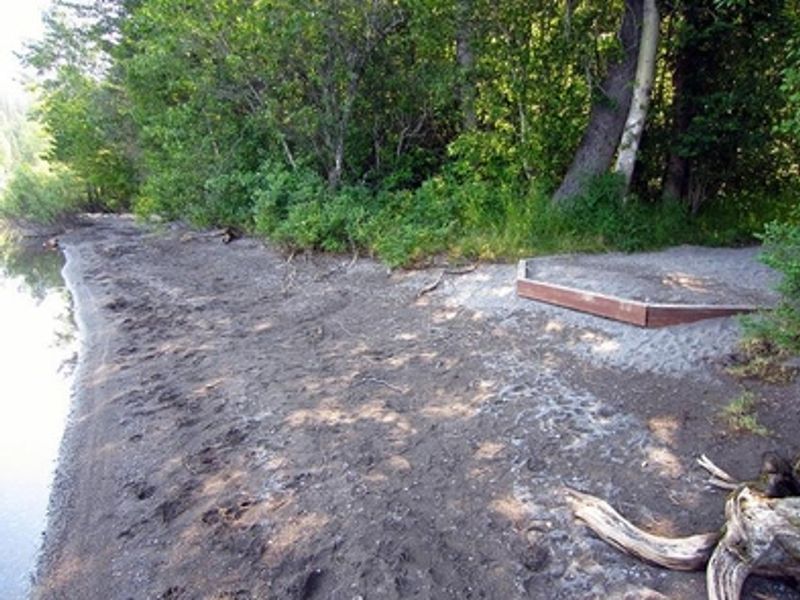
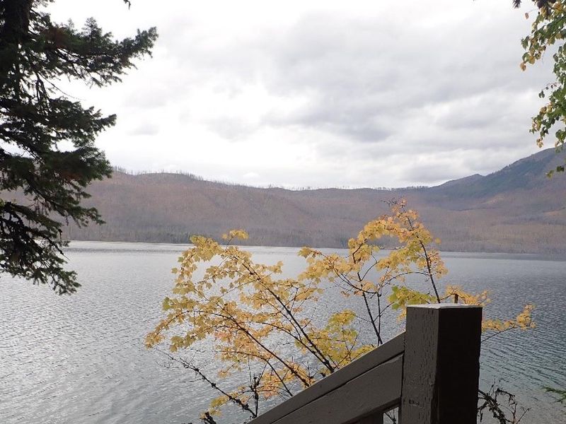
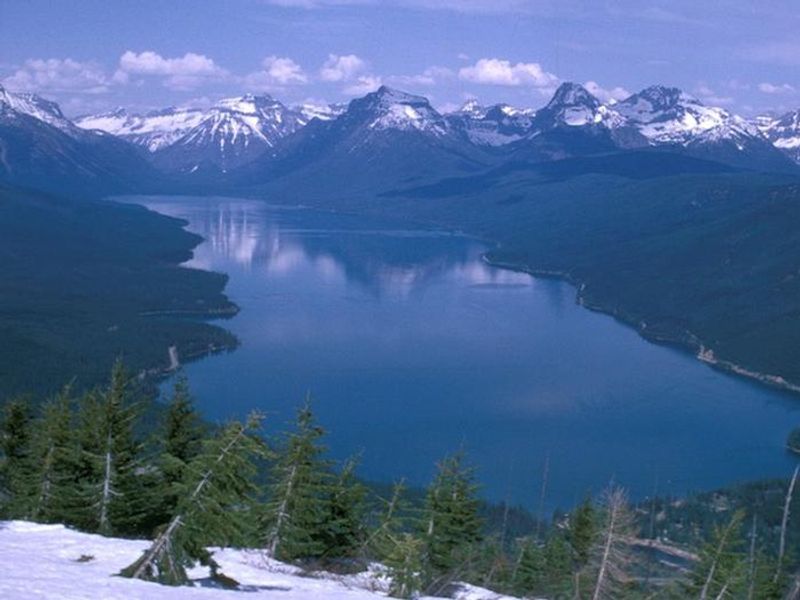
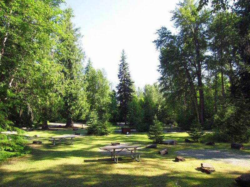
Sprague Creek Campground sits on the northeast shore of Lake McDonald, approximately 9.5 miles from Glacier National Park's West Entrance along Going-to-the-Sun Road. The heavily forested campground provides shade during warm summer days, with some sites offering direct views of the lake and surrounding mountains. The campground is designed for small-footprint camping. All vehicles and vehicle combinations must be under 21 feet in length and 8 feet in width. No towed units of any size are permitted, and generators are prohibited at all times. Each of the 25 sites includes a fire ring (no grate) and picnic table. Flush toilets and potable water are available on site, though there are no showers or hookups. The historic Lake McDonald Lodge is about a mile away, offering a camp store, restaurant, gift shop, boat tours, and ranger evening programs. The park's free shuttle system stops at this campground, providing access to other destinations along Going-to-the-Sun Road.
Directions
From West Glacier, enter the park through the West Entrance and follow Going-to-the-Sun Road approximately 9.5 miles east. The campground is on the left, on the northeast shore of Lake McDonald.
Amenities
| Water | Yes |
| Fires Allowed | Yes |
| Toilets | Yes |
| Dump Station | No |
| Wifi | — |
| Pets Allowed | Yes |
| Showers | No |
| Electric Hookups | — |
| Water Hookups | — |
| Sewer Hookups | — |
| Camp Store | No |
| Price | $30 |
Vehicle
| Max RV Length | 21ft |
| Max Trailer Length | — |
| Big Rig Friendly | No |
| Pull Through Sites | No |
Contact
| Phone | +1 (406) 888-7800 |
Cell Service
| AT&T | Yes |
| Verizon | None |
| T-Mobile | None |
Availability
Photos
Community Posts
No posts yet. Be the first to share your experience!