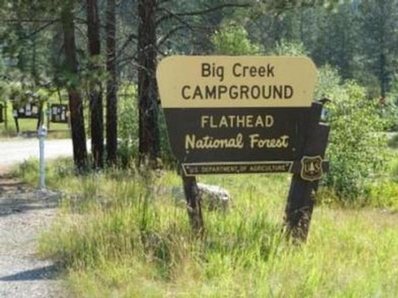
Big Creek Campground
Open for the season. Operates mid-May through September. 12 sites reservable via Recreation.gov, 10 sites first-come-first-served. Stay limit is 16 consecutive nights.
Northern Region Camping & Target Restrictions, Pallet Prohibition
This order defines the maximum length of occupation at a single location or cumulatively at any number of locations within a calendar year, within the states of Montana, North Dakota, South Dakota, and Idaho
Weed Free Forage & Mulch Products Order for the Northern Region
It is illegal to possess, store or transport straw, hay, grain, seed or other forage or mulch products on Forest Service lands without documentation that the product is certified as “weed free” by a state certification process that meets or exceeds the North American Weed Free Forage standards.
R1-2023-02 - NCDE Food and Wildlife Attractant Storage Order
Northern Continental Divide Ecosystem Food/Wildlife Attractant Storage Order for the Flathead, Lolo, Kootenai, Helena-Lewis and Clark, and Beaverhead-Deerlodge National Forests within the Northern Continental Divide Ecosystem.
About
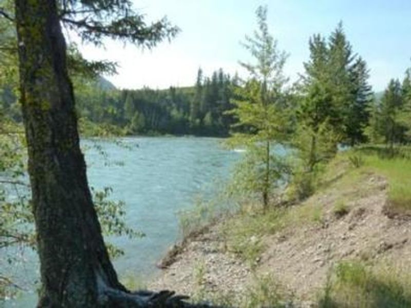
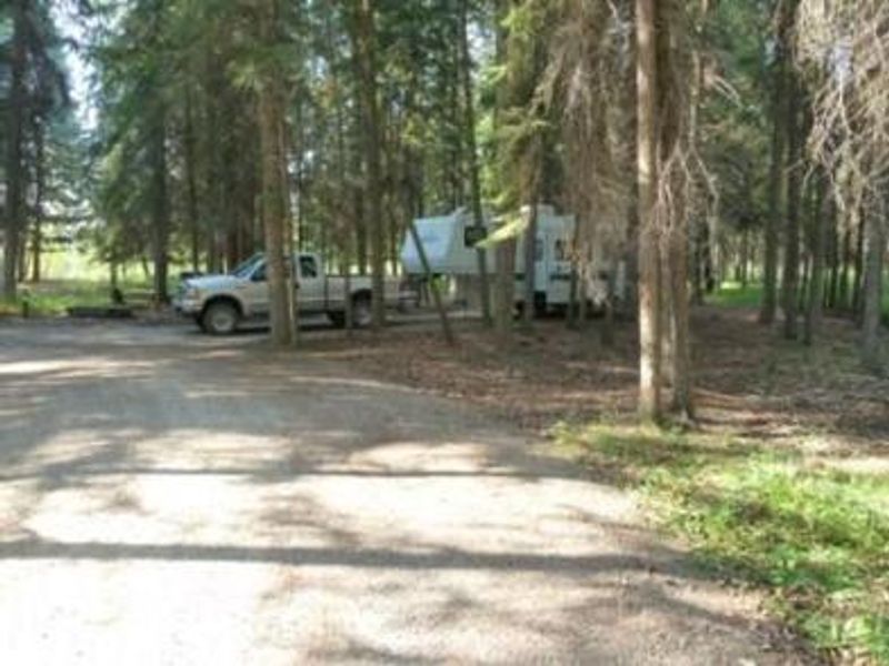
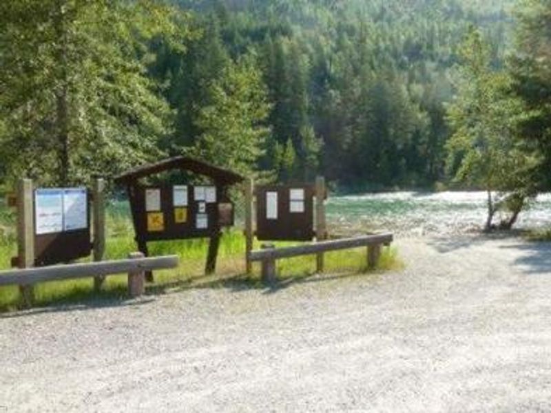
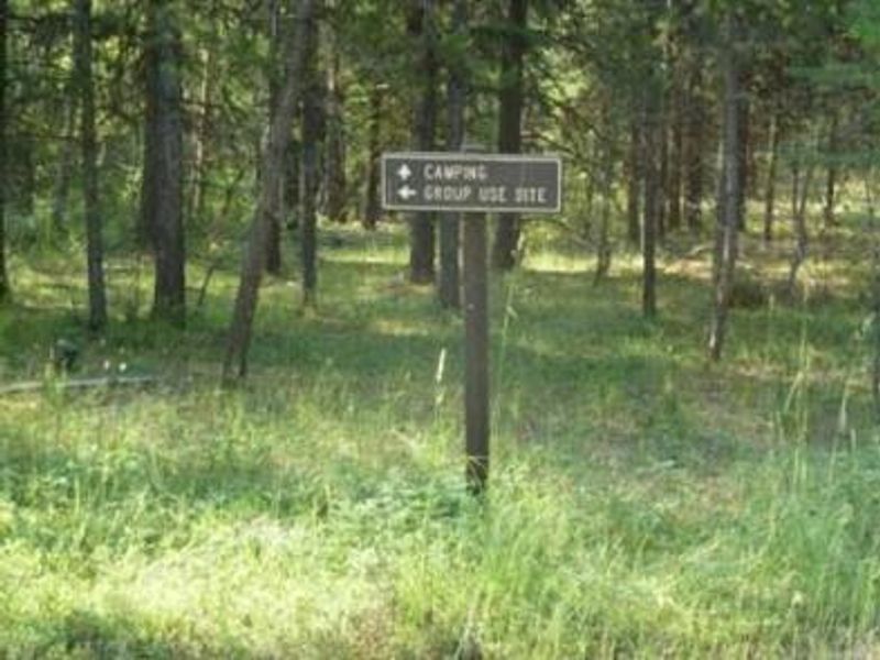
Big Creek Campground occupies a forested setting of mature pine and fir trees along the North Fork of the Flathead River in northwestern Montana. Located just 2 miles from Glacier National Park's northwest entrance via Camas Road, the campground serves as an excellent base for exploring both the national forest and the park. The river, which originates in Canada, provides excellent opportunities for trout fishing, floating, rafting, and canoeing. The campground has 22 sites total: 12 reservable through Recreation.gov and 10 available first-come-first-served. Each site includes a picnic table and fire ring with grill. Vault toilets and potable water from hand pumps are provided. A group camping area in the center of the campground can accommodate up to 200 guests. Across from the campground is the Glacier Institute's Big Creek Outdoor Education Center, offering seminars and guided hikes focused on the natural and cultural resources of the Crown of the Continent Ecosystem. Bear country protocols apply; proper food storage is required.
Directions
From Columbia Falls, Montana, follow State Route 486 north for approximately 20 miles to the campground entrance on the right. The road is paved for 10 miles and gravel for approximately 9 miles. Alternate route: Enter Glacier National Park through West Glacier, take Going-to-the-Sun Road for 2 miles, turn left onto Camas Road for 11 miles, then left onto North Fork Road for 2.7 miles of gravel.
Amenities
| Water | Yes |
| Fires Allowed | Yes |
| Toilets | Yes |
| Dump Station | — |
| Wifi | — |
| Pets Allowed | Yes |
| Showers | No |
| Electric Hookups | — |
| Water Hookups | — |
| Sewer Hookups | — |
| Camp Store | — |
| Price | $22 |
Vehicle
| Max RV Length | 48ft |
| Max Trailer Length | 48ft |
| Big Rig Friendly | — |
| Pull Through Sites | No |
Contact
| Phone | +1 (406) 752-7924 |
Cell Service
| AT&T | Yes |
| Verizon | None |
| T-Mobile | None |
Availability
Photos


Community Posts
No posts yet. Be the first to share your experience!