Buckeye Recreation Area
Open mid-May through September. Reservations available via Recreation.gov. First-come, first-served dispersed sites also available. Bears frequent the area; proper food storage required. 14-day stay limit enforced.
Weed Free Hay Order 04-2021-03
Prohibited by this order: Possessing, storing, or transporting non-pelletized hay, straw, or mulch in the Intermountain Region, unless it is certified as weed free by the state where the product originated.
Fireworks and Spark Arrestor Order 04-2021-01
Prohibited by this order: Possessing, discharging, or using any kind of firework or other pyrotechnic device. 36 CFR §261.52(t)Operating or using any internal or external combustion engine without a spark arresting device properly installed, maintained and in effective working order as described…
Explosives and Exploding Target Order 04-2021-02
This order prohibits the use of explosives and exploding targets on National Forest System lands within the Intermountain Region.
About
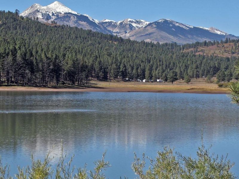
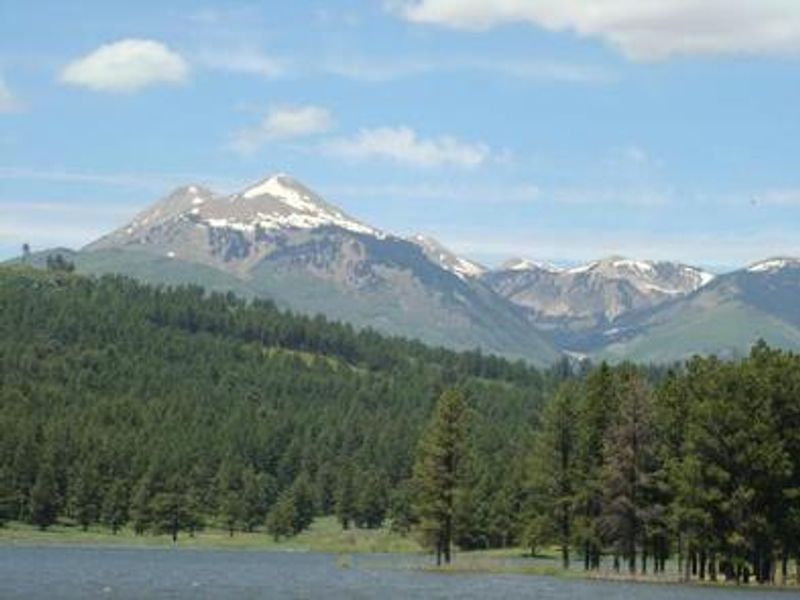
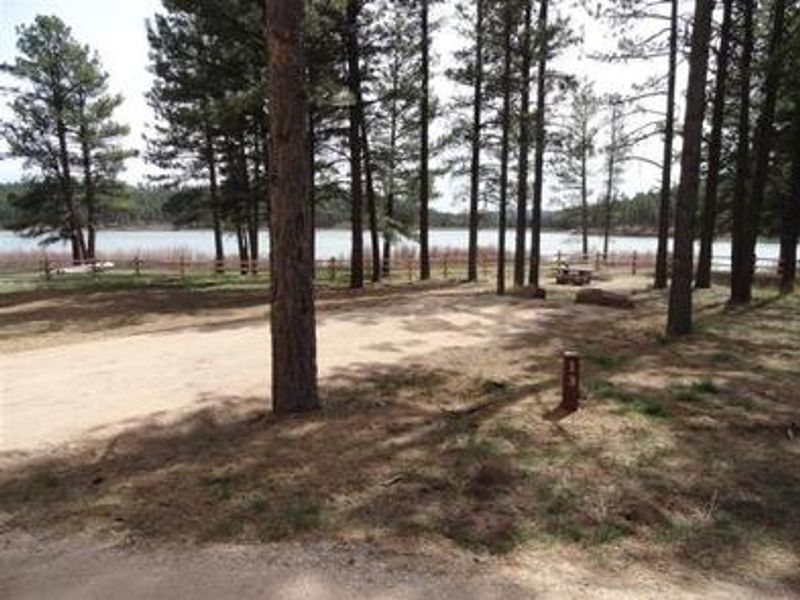
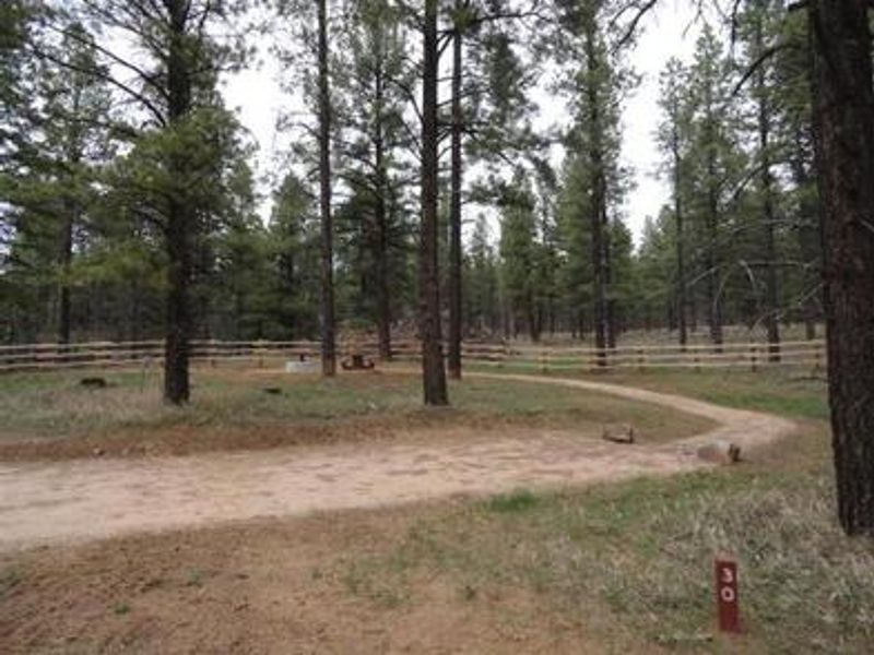
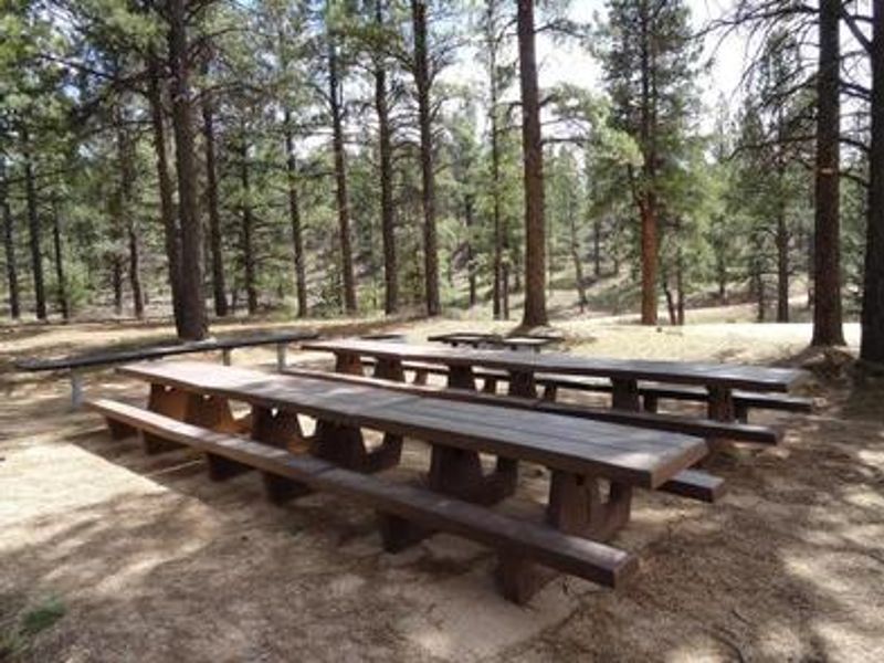
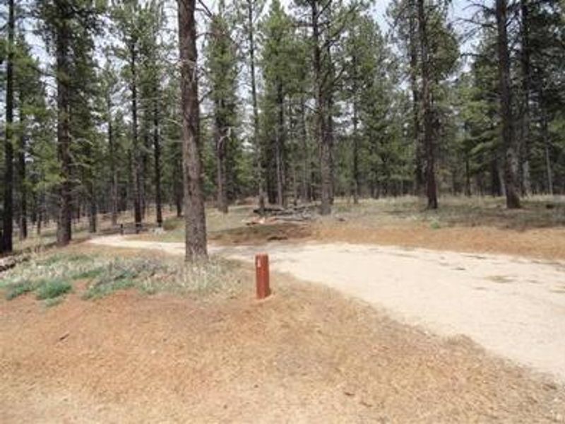
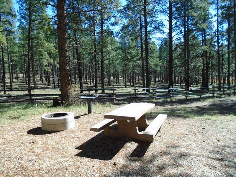
Buckeye Recreation Area is a forested mountain campground on the west side of the La Sal Mountains, surrounded by mature ponderosa pines with views of the high peaks. The recreation area centers on Buckeye Reservoir, which provides excellent fishing for those with a Colorado fishing license and supports canoeing and small boats (5 HP limit, wakeless speed only). The Pioneer Campground contains 30 single-family reservable sites and one group site, each with graveled parking spurs, concrete picnic tables, fire rings, utility tables, and access to vault toilets. Additionally, 18 less-developed dispersed campsites are scattered around the reservoir for those seeking a more primitive experience. The nearby state lands and forest roads provide extensive OHV and motorcycle trails. Canyonlands and Arches National Parks are roughly 1.5 hours away, with additional recreation opportunities around Moab and Monticello, Utah. Note that GPS navigation apps often route visitors onto 4WD roads or to locked gates on private property; follow official directions from Paradox, Colorado via Forest Service Road 0371.
Directions
Best Route: Head south from Moab on US 191 for approximately 27 miles and turn left onto Highway 46 at La Sal Junction. Continue on Highway 46 for 32 miles into Paradox, Colorado. Turn left at 5.75 Road at the USFS sign. Continue to the T-intersection and turn left on U5 Road, following USFS signs to Buckeye Campground. It is about 13 miles on Forest Service Road 0371 from Paradox to Buckeye Campground on a winding gravel road. Do not rely solely on GPS navigation apps as they often direct visitors to 4WD roads or locked gates on private property.
Amenities
| Water | No |
| Fires Allowed | Yes |
| Toilets | Yes |
| Dump Station | No |
| Wifi | No |
| Pets Allowed | — |
| Showers | No |
| Electric Hookups | — |
| Water Hookups | — |
| Sewer Hookups | — |
| Camp Store | No |
| Price | $15 - $50 |
Vehicle
| Max RV Length | — |
| Max Trailer Length | — |
| Big Rig Friendly | — |
| Pull Through Sites | No |
Contact
| bmurdock@fs.fed.us | |
| Phone | +1 (435) 259-7155 |
Cell Service
| AT&T | None |
| Verizon | None |
| T-Mobile | None |
Availability
Photos
Community Posts
No posts yet. Be the first to share your experience!