Hunter Peak
Closed for the season. Typically opens late May and operates through mid-October. Currently first-come-first-served only with no advance reservations accepted.
Flood Watch issued August 29 at 1:07PM MDT until August 30 at 12:00PM MDT by NWS Riverton WY
* WHAT...Flooding caused by excessive rainfall continues to be possible. * WHERE...Portions of central, northwest, and west central Wyoming, including the following areas, in central Wyoming, Wind River Mountains West. In northwest Wyoming, Absaroka Mountains, Jackson Hole, Teton and Gros Ventre Mountains and Yellowstone National Park. In west central Wyoming, Salt River and Wyoming Ranges and Star Valley. * WHEN...Through Sunday morning. * IMPACTS...Excessive runoff may result in flooding of rivers, creeks, streams, and other low-lying and flood-prone locations. * ADDITIONAL DETAILS... - Increased moisture from the Pacific will move across northwest Wyoming through the weekend, bringing an extended chance for showers and thunderstorms. The increased moisture will have the potential to produce locally heavy rainfall, providing excessive runoff in flood-prone and low-lying areas. - http://www.weather.gov/safety/flood
From Recreation.gov
**NOTICE: **At this time, we are not accepting reservations for the listed campgrounds, but rather are available first-come/first-served. **NOTE:** The Clearwater Group site and the Sunlight Rangers Cabin continue to accept reservations. Please continue to monitor Recreation.gov to see if reservation status changes.
Wheeled Vehicles in Wilderness
This order describes the prohibition of wheeled vehicles in all National Forest Wilderness Areas of the Rocky Mountain Region and any exceptions thereof.
About
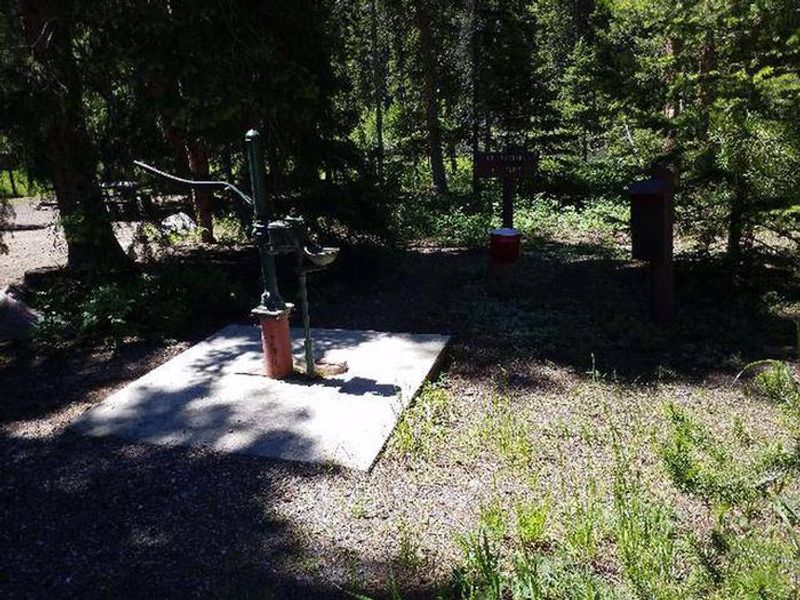
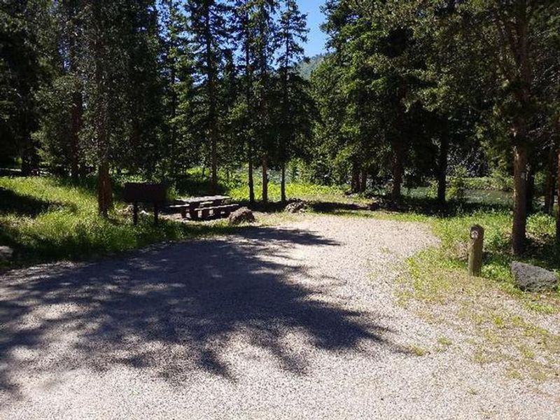
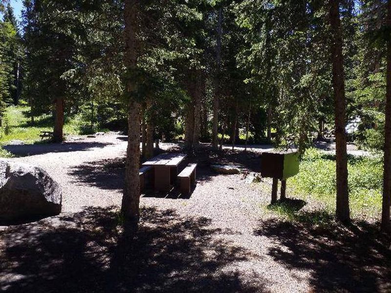
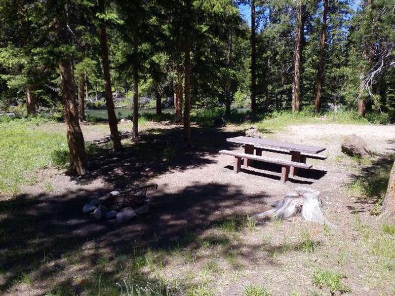
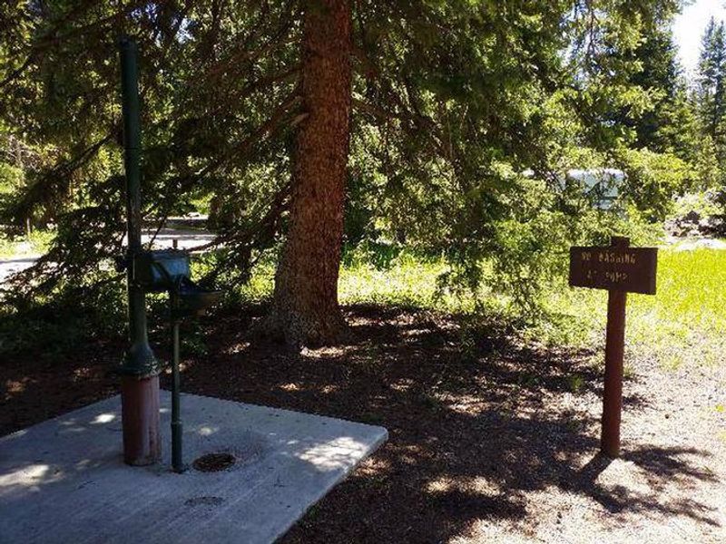
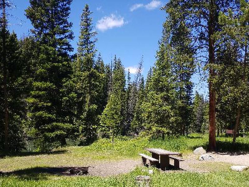
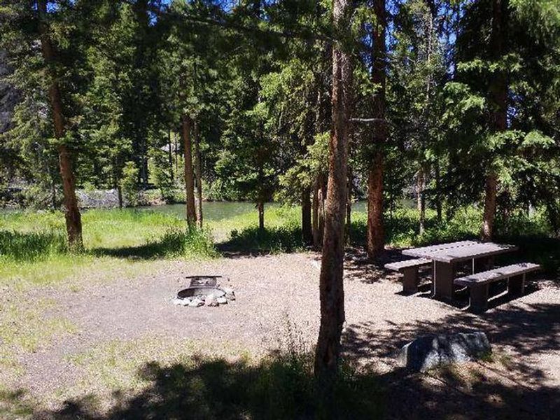
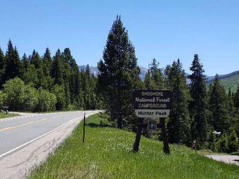
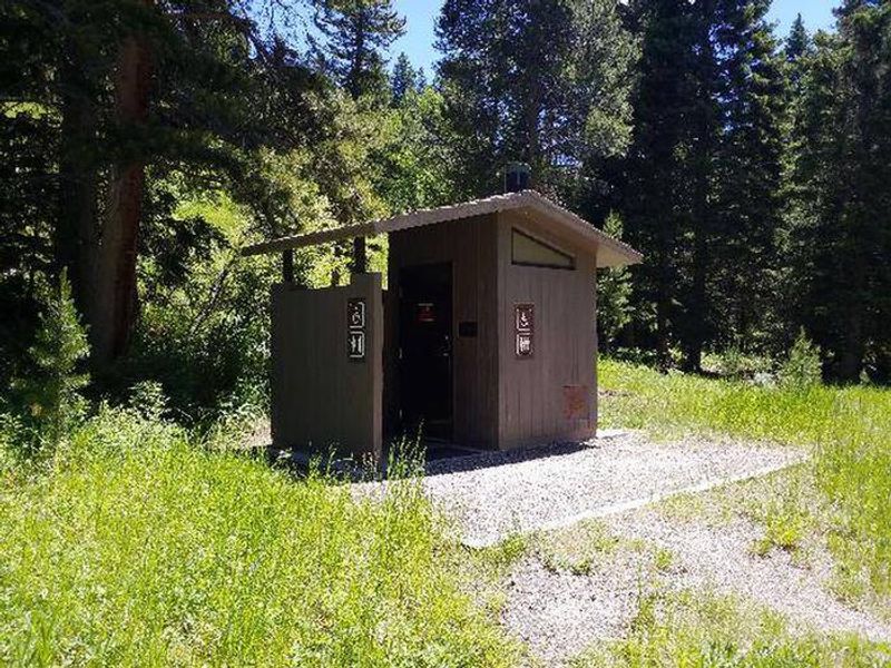
Hunter Peak Campground occupies a scenic stretch along the Clarks Fork of the Yellowstone River, roughly 60 miles northeast of Cody on the Chief Joseph Scenic Highway (WY-296). At 6,500 feet elevation, the campground is surrounded by mixed conifer forest and sits just four miles south of the Beartooth Highway junction. The Clarks Fork offers excellent fishing for rainbow and cutthroat trout. The campground has 10 sites with a maximum spur length of 32 feet, making it suitable for smaller RVs and trailers but not large rigs. Each site has a picnic table and fire ring, and the campground provides vault toilets and potable water via a hand pump. Bear boxes are available and food storage is required due to grizzly bear activity in the area. The Clarks Fork Trailhead sits directly across the highway, providing access to backcountry hiking. Yellowstone National Park's northeast entrance is approximately 24 miles northwest via the Beartooth All-American Road, which Charles Kuralt called "the most beautiful drive in America."
Directions
From Cody, take State Highway 120 north for 16 miles. Turn left onto State Highway 296 (Chief Joseph Scenic Highway) and proceed about 43 miles to the campground on the left side of the highway.
Amenities
| Water | Yes |
| Fires Allowed | Yes |
| Toilets | Yes |
| Dump Station | No |
| Wifi | No |
| Pets Allowed | Yes |
| Showers | No |
| Electric Hookups | — |
| Water Hookups | — |
| Sewer Hookups | — |
| Camp Store | No |
| Price | $20 |
Vehicle
| Max RV Length | 56ft |
| Max Trailer Length | 56ft |
| Big Rig Friendly | No |
| Pull Through Sites | No |
Contact
| Phone | +1 (307) 527-6921 |
Cell Service
| AT&T | None |
| Verizon | None |
| T-Mobile | None |
Availability
Photos
Community Posts
No posts yet. Be the first to share your experience!