Open for the 2026 season. Season typically begins the Thursday before the May fishing opener and runs through fall. Some sites are reservable via Recreation.gov; others are first-come, first-served. Boat landing access is year-round.
About
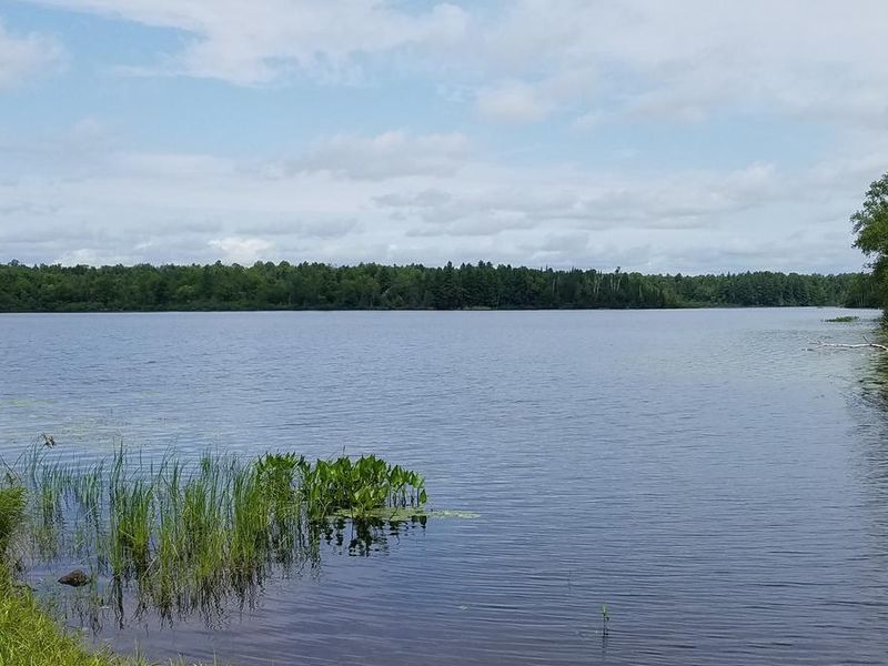
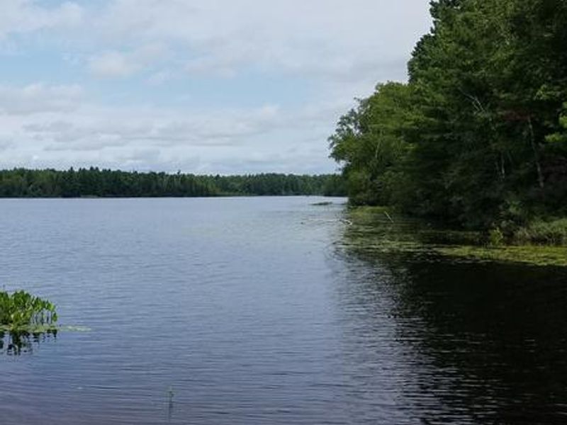
Black Lake Recreation Area is a highly ranked family-favorite campground on the Great Divide Ranger District of the Chequamegon-Nicolet National Forest, about 30 minutes east of Hayward, Wisconsin. The 29 campsites are spread along the eastern shores of Black Lake, with most offering direct lakefront access. Sites range from tent-only to those accommodating trailers up to 45+ feet, all equipped with picnic tables and fire rings with grills. The 129-acre lake draws anglers seeking musky, walleye, bass, and panfish in its 17-foot deep waters. Two paved boat launches are located within the campground. A grassy beach with sandy bottom access provides swimming opportunities. The 4-mile Black Lake Interpretive Trail offers a leisurely loop around the lake with signage about the area's logging history and Civilian Conservation Corps heritage. Six vault toilets and potable water are provided throughout the campground. Trash and recycling dumpsters are available. This is a dog-friendly recreation area. ATVs and UTVs are prohibited within the campground but must be secured on a trailer. Firewood must originate within 25 miles of the campsite or be certified by the Wisconsin Department of Agriculture.
Directions
From Hayward, Wisconsin, take Highway B east for about 23 miles. Turn left on Barker Lake Road, which turns into Forest Service Road 172, and continue for a total of 8 miles. Turn left onto Forest Service Road 173 and drive less than a mile to the paved campground road.
Location
Amenities
| Water | Yes |
| Fires Allowed | Yes |
| Toilets | Yes |
| Dump Station | — |
| Wifi | No |
| Pets Allowed | Yes |
| Showers | No |
| Electric Hookups | — |
| Water Hookups | — |
| Sewer Hookups | — |
| Camp Store | No |
| Price | $15 |
Vehicle
| Max RV Length | 45ft |
| Max Trailer Length | 45ft |
| Big Rig Friendly | Yes |
| Pull Through Sites | No |
Contact
| sm.fs.cnnfadmin@usda.gov | |
| Phone | +1 (715) 634-4821 |
Cell Service
| AT&T | None |
| Verizon | Yes |
| T-Mobile | None |
Useful Links
| View on Recreation.gov | |
| USFS Black Lake Recreation Area |
Availability
Photos
Community Posts
No posts yet. Be the first to share your experience!