Open
Open for the 2026 season. The campground typically opens the Thursday before the May fishing opener (first Saturday in May) and operates through fall. Currently, 13 campsites in the Blueberry and Heron loops are closed. Mix of reservable sites via Recreation.gov and first-come, first-served availability.
About
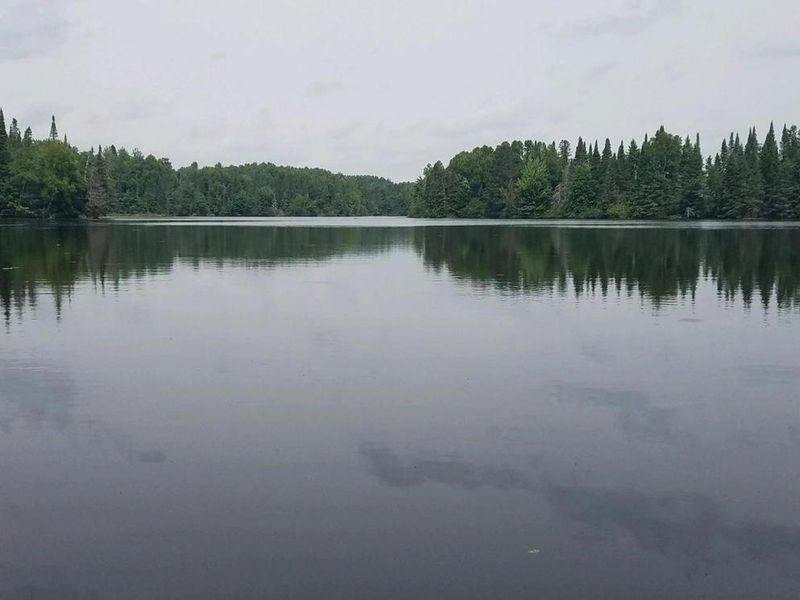
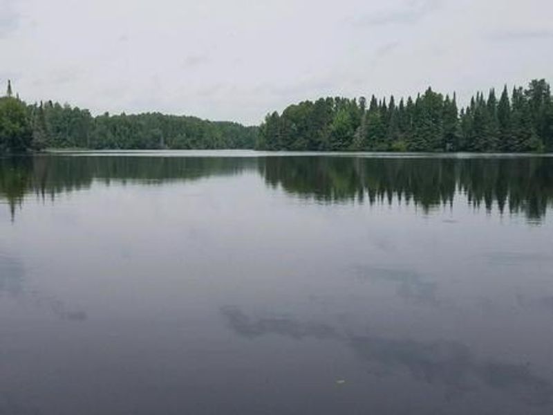
Day Lake Campground sits in the heart of Wisconsin's elk country within the Chequamegon-Nicolet National Forest. The 52-site campground plus 3 walk-in sites are spread across several loops including Jack, Musk, Redp, and Pape, offering spacious and shaded camping under towering pines on the eastern shore of 632-acre Day Lake. Each site comes equipped with a parking spur, fire ring with grill, picnic table, and tent pad. Six paved barrier-free sites provide ADA accessibility, and some sites can accommodate RVs up to 45 feet.
The campground serves as a hub for diverse recreation. Day Lake is renowned for excellent musky, bass, and panfish fishing, with a boat ramp and picnic area with beach access located two miles south on County Highway M. A half-mile interpretive trail is accessible directly from the campground. As a designated off-road vehicle campground, it offers direct access to the Dead Horse Run ATV/UTV Trail system's miles of OHV, hiking, and mountain biking trails.
The area is rich with wildlife including elk, eagles, and loons. A general store, bait shop, firewood vendor, fuel, and restaurants are located in Clam Lake about a mile away. The local community hosts an annual July 4th fireworks display.
Directions
From Clam Lake, Wisconsin, travel one mile north on County Highway GG.