Open
Open for the 2026 season. The campground typically opens the Thursday before the first Saturday in May. Sites are available first-come-first-served or via Recreation.gov reservations. ATV/UTV use in the campground is prohibited. Firewood must originate within 25 miles of the campsite or be certified.
About
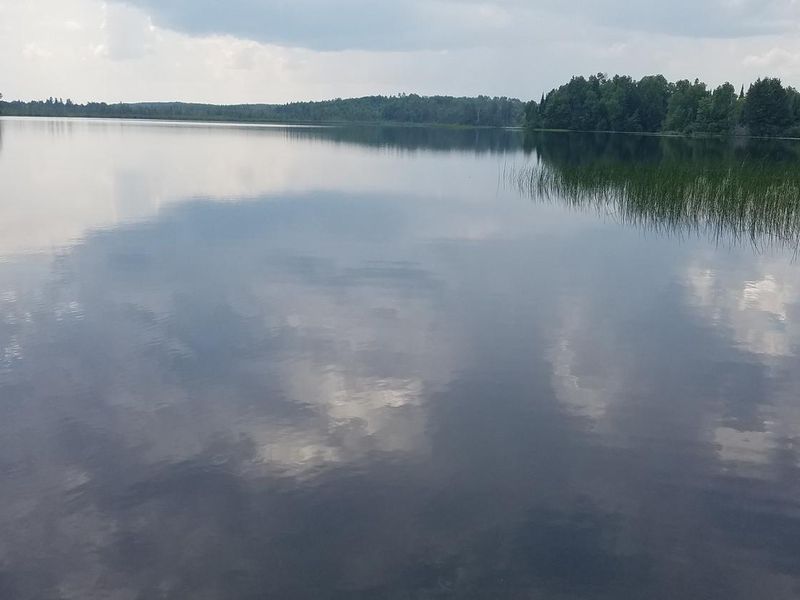
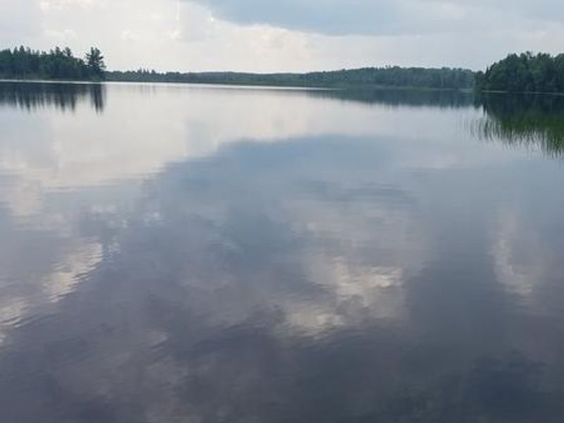
East Twin Campground is a well-established family destination on the shores of 110-acre East Twin Lake in the Chequamegon-Nicolet National Forest. The campground features 10 sites nestled in a mature forest of maple, birch, and hemlock, with several sites offering lake views. Facilities include vault toilets, potable drinking water, a developed boat ramp, and a fishing pier.
Each campsite comes equipped with a fire ring with grill, picnic table, tent pad, and parking spur. Site configurations range from tent-only to sites accommodating RVs up to 40 feet. A walk-in portage connects to West Twin Lake just outside the campground. The lakes support populations of largemouth bass, panfish, and the occasional musky.
The Dead Horse Run trailhead lies five miles south on County Road GG, offering additional recreation. An established Blue Heron rookery is located nearby. Wildlife in the area includes elk, eagles, and loons.
Directions
Drive 4 miles north from Clam Lake on County Highway GG. Turn right (east) on Forest Road 190 and continue for about one mile to the campground.